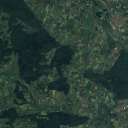
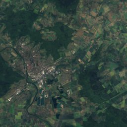
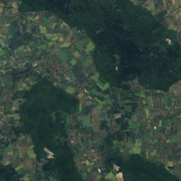
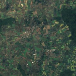
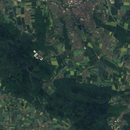
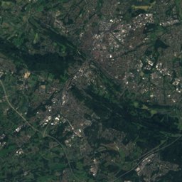
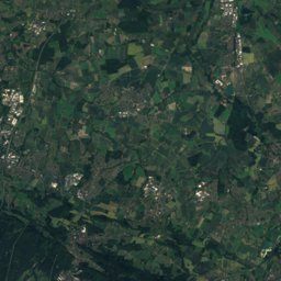
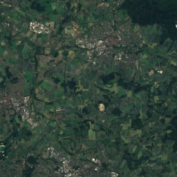
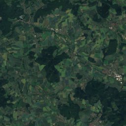
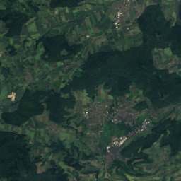
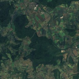
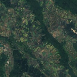
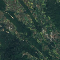
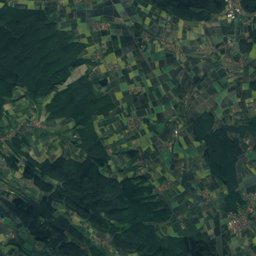
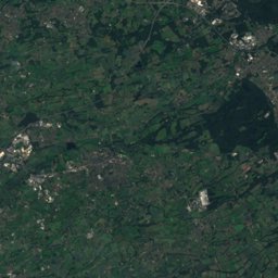
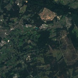
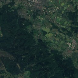
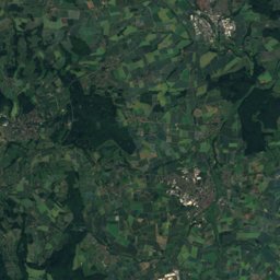
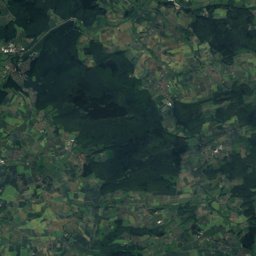
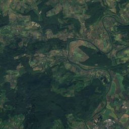
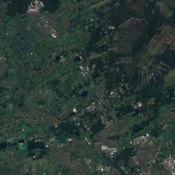
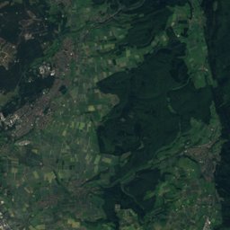
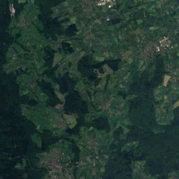
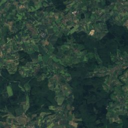
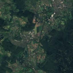
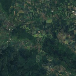
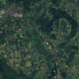
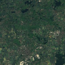
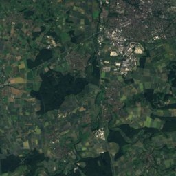
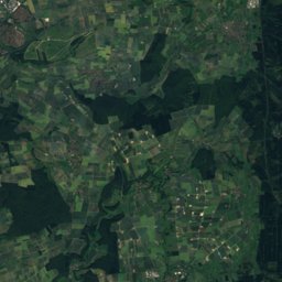
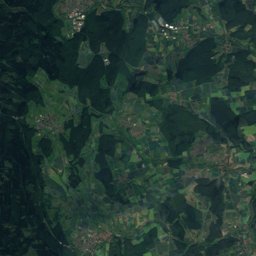
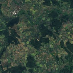
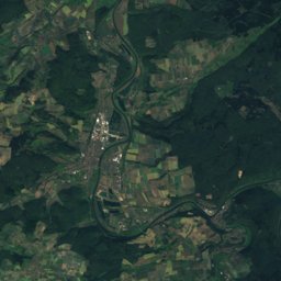
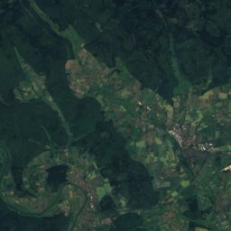
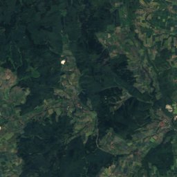
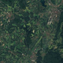
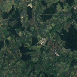
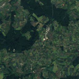
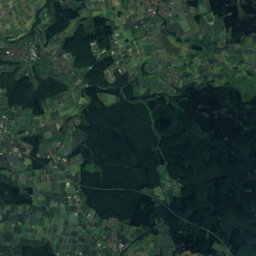
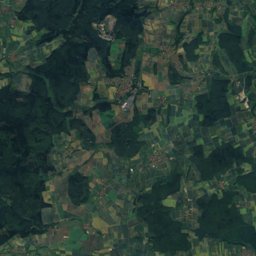
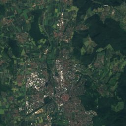
Satellite: Sentinel-2 cloudless 2016 by EOX IT Services GmbH · CC BY 4.0 · Contains modified Copernicus Sentinel data 2016
Outdoor activitiesFürstenberg, Lower Saxony
Outdoors near Fürstenberg
within 15 km48places
Viewpoints22
Camp sites19
51.73° N, 9.40° EElevation 181 mUTC+2 · Central European Summer Time
When to goFürstenberg · weather score
Best timeMay–Jun · Sep
October: high / low14° / 6°
Viewpoints
| Name | Nearby | Details |
|---|---|---|
| Hugenottenturm | 10.7 km | |
| Bismarckturm Höxter | 5.1 km | |
| Hochsollingturm | 10.2 km | |
| Rodeneckturm | 3.7 km | |
| Kaiser-Wilhelm-Turm | 9.2 km | |
| Modexer Turm [Modexer Warte] | 12.5 km | |
| Sohnrey-Höhe | 9.6 km | 250 m |
| Rabenklippe | 3.7 km | |
| Weser-Skywalk Hannoversche Klippen | 9.6 km | |
| Lug ins Land | 9.9 km | |
| Sängertempel | 10.5 km | |
| Bismarckhöhe | 10.7 km |
Camp sites
| Name | Nearby | Details |
|---|---|---|
| Freizeitgelände Axelsee | 9.8 km | Website |
| Yachthafen Dreiländereck | 9.4 km | Website |
| Campingplatz Bad Karlshafen | 10.4 km | Website |
| Campingplatz am Freizeitsee | 11.1 km | Website |
| Mobilcamping Holzmindencaravans & motorhomes | 10.6 km | Website |
| Campingplatz Silberborn | 11 km | Website |
| Wesercamping Höxter | 3.8 km | Website |
| Freizeitgelände Ahlemeyer | 2.4 km | Website |
| Am Bootshaus | 9.3 km | Website |
| Floßplatzcaravans & motorhomes | 4.6 km | Website |
| Campingverein Bodenfelde | 14.7 km | Website |
| Freizeitanlage Godelheimcaravans & motorhomes | 3.3 km | Website |
Climbing
| Name | Nearby | Details |
|---|---|---|
| DAV Kletterzentrum OWLclimbing gym | 14.2 km | Website |
| Brakel Rockcrag | 14.2 km | |
| Kletterturm / Hochseilgartenclimbing gym | 8.3 km |
Hot springs & thermal baths
Zoos
Places come from an open map made by volunteers: well-known sites are there, small or new ones may be missing. Opening times and prices change, so check before you go.