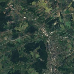
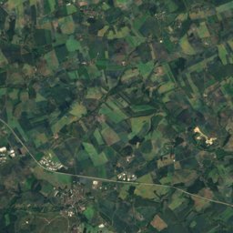
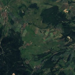
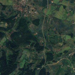
Satellite: Sentinel-2 cloudless 2016 by EOX IT Services GmbH · CC BY 4.0 · Contains modified Copernicus Sentinel data 2016
Outdoor activitiesDöbritz
Outdoors near Döbritz
within 15 km72places
Viewpoints38
Camp sites21
50.69° N, 11.64° EElevation 263 mUTC+1 · Central European Standard Time
When to goDöbritz · weather score
Best timeJun · Aug–Sep
October: high / low14° / 6°
Viewpoints
| Name | Nearby | Details |
|---|---|---|
| Bismarckturm Neustadt an der Orla | 11.2 km | Website |
| Bielerturm | 13.7 km | 409 m |
| Schöne Aussicht | 14.8 km | 400 m |
| Dohlenstein | 12.8 km | 370 m |
| Aussicht Pößneck Ost | 2.4 km | |
| Totenstein | 5.1 km | |
| Aussicht Richtung Meilitz | 7.3 km | |
| Amtsberg | 8.4 km | |
| Schwedenschanze | 8.7 km | |
| Teufelskanzel | 9 km | |
| Fernsicht | 9 km | |
| Ilsenblick | 9.1 km |
Camp sites
| Name | Nearby | Details |
|---|---|---|
| Camping Thüringer Wald | 12.1 km | Website |
| Campingplatz Linkenmühle | 9.9 km | Website |
| Camping Plothener Teiche | 10.3 km | Website |
| Campingplatz Neumannshof | 11 km | Website |
| Camping & Freizeitanlage Droschkau e.V. | 11.1 km | Website |
| Campingplatz Saalthal Alter | 12.6 km | Website |
| Campingplatz Hopfenmühle Drognitz | 11.4 km | Website |
| Campingplatz Portenschmiede | 10.4 km | Website |
| Naturcamping Plothental | 9.3 km | Website |
| Zeltplatz Sport- und Freizeitzentrum Uhlstädt | 13.3 km | Website |
| Reisemobilstellplatz Heinrichsruhecaravans & motorhomes | 10.6 km | Website |
| naturnaher Übernachtungsplatz Geopfad Pinsenberg Krölpabackcountry | 7 km | Website |
Climbing
| Name | Nearby | Details |
|---|---|---|
| Terrassenwandcrag | 0.3 km | |
| Drachenzahncrag | 0.3 km | |
| Kirchwandcrag | 0.3 km | |
| Neues Riffcrag | 0.3 km | |
| Obeliskcrag | 0.3 km | |
| Wacholderwandcrag | 0.3 km | |
| Braune Wandcrag | 0.3 km | |
| Birkenwandcrag | 0.5 km | |
| Knieriff (Grottenfelsen)crag | 0.5 km | |
| Schräger Felscrag | 0.6 km | |
| Turmriffcrag | 0.6 km | |
| Eckfelsencrag | 0.7 km |
Theme parks
| Name | Nearby | Details |
|---|---|---|
| Kinderland Dittersdorf | 13.8 km | Website |
Diving
- Conrod-Kraftwerk9.2 km
- Hohenwarte-Stausee - Linkenmühle alte und neue Brücke10.2 km
- Hohenwarte-Stausee - Schwarze Wand10.8 km
- Hohenwarte-Stausee - Drachenschwanz11.2 km
Places come from an open map made by volunteers: well-known sites are there, small or new ones may be missing. Opening times and prices change, so check before you go.