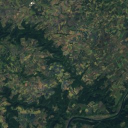
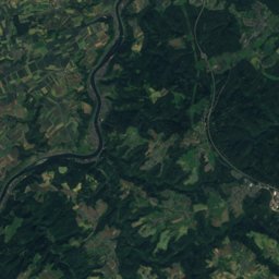
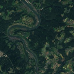
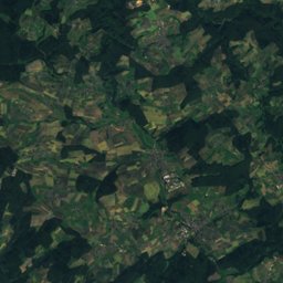
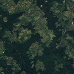
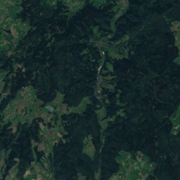
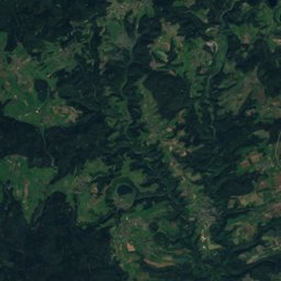
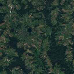
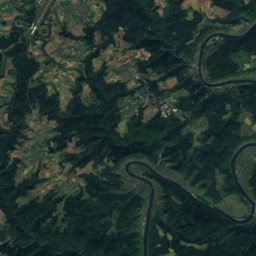
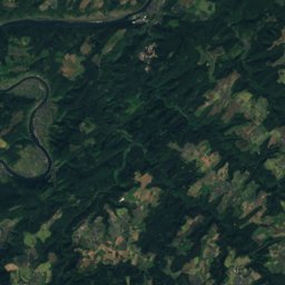
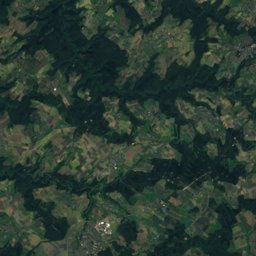
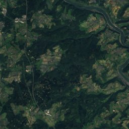
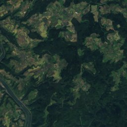
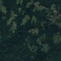
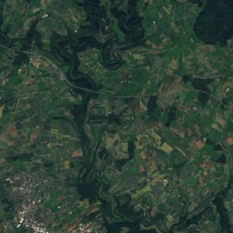
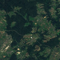
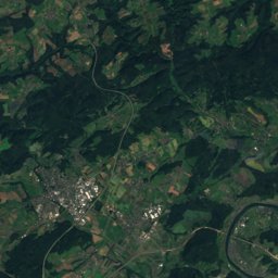
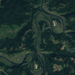
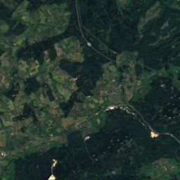
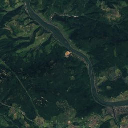
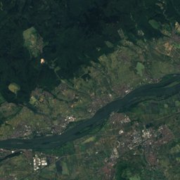
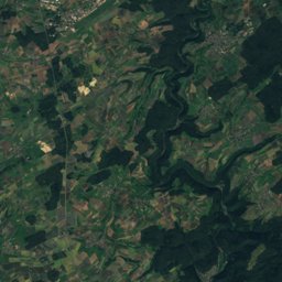
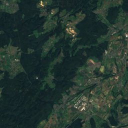
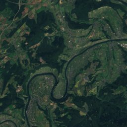
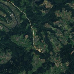
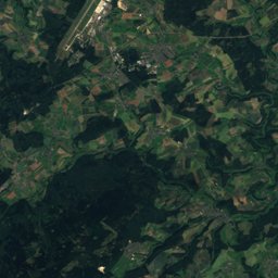
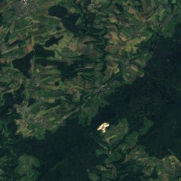
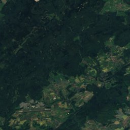
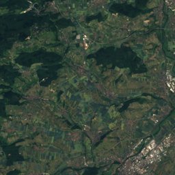
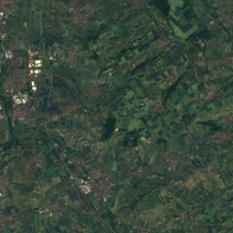
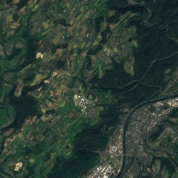
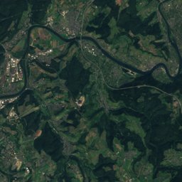
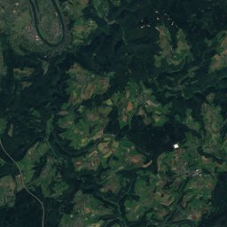
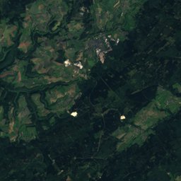
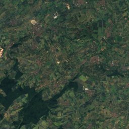
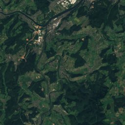
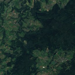
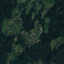
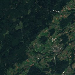
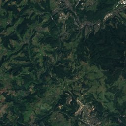
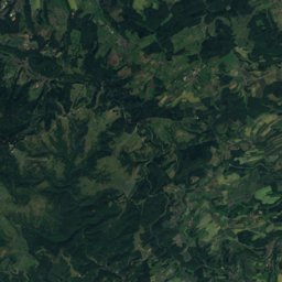
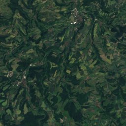
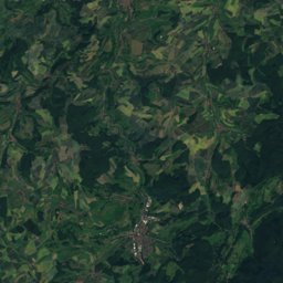
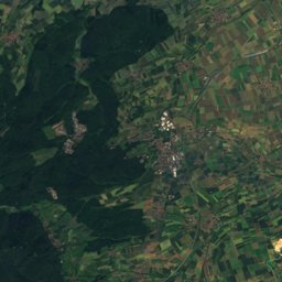
Satellite: Sentinel-2 cloudless 2016 by EOX IT Services GmbH · CC BY 4.0 · Contains modified Copernicus Sentinel data 2016
Outdoor activitiesDill
Outdoors near Dill
within 15 km39places
Viewpoints18
Camp sites15
49.92° N, 7.35° EElevation 367 mUTC+2 · Central European Summer Time
When to goDill · weather score
Best timeJul–Sep
October: high / low13° / 6°
Viewpoints
| Name | Nearby | Details |
|---|---|---|
| Bismarckturm | 12.4 km | Website |
| Bergfried Koppenstein | 10.9 km | |
| Alteburgturm | 14.7 km | |
| Aussichtsturm | 9.9 km | |
| Zur schönen Aussicht | 3.8 km | |
| Galgenhügel | 5.5 km | |
| Wartenberg | 5.9 km | |
| Schutzhütte Wartenberg | 5.9 km | |
| Besucherterasse | 6.7 km | |
| Spotters Viewpoint Threshold RWY 03 | 7.2 km | |
| Idarkopfturm | 8.4 km | |
| Domblick | 9.1 km |
Camp sites
| Name | Nearby | Details |
|---|---|---|
| Campingplatz Harfenmühle | 13.8 km | Website |
| Edelsteincamp | 14.1 km | Website |
| Trekkingcamp Alteburgbackcountry | 14.3 km | Website |
| Naturcamp Schmidtburgbackcountry | 8.4 km | Website |
| Wohnmobilstellplatz AMB Reisemobilecaravans & motorhomes | 5.9 km | Website |
| Reisemobilstellplatz Freibad Gemündencaravans & motorhomes | 10.2 km | Website |
| Reisemobilstellplatz Hennweilercaravans & motorhomes | 11.8 km | Website |
| Reisemobilstellplatz Schneppenbachcaravans & motorhomes | 8.8 km | Website |
| Trekkingcamp Schmidtburgbackcountry | 8.4 km | Website |
| Höhenhof | 13.5 km | Website |
| Jugendzeltplatz Ravengiersburg | 8.4 km | |
| Bergschlößchencaravans & motorhomes | 13.5 km |
Climbing
| Name | Nearby | Details |
|---|---|---|
| Schwarze Wandcrag | 14.8 km | Website |
| Jungfraucrag | 14.9 km | |
| Oberhäuser Grat Rechtscrag | 14.9 km | |
| Oberhäuser Grat Südcrag | 14.9 km | |
| Oberhäuser Grat Linkscrag | 14.9 km |
Golf courses
| Name | Nearby | Details |
|---|---|---|
| Golfclub Hahn | 5.9 km |
Places come from an open map made by volunteers: well-known sites are there, small or new ones may be missing. Opening times and prices change, so check before you go.