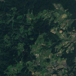
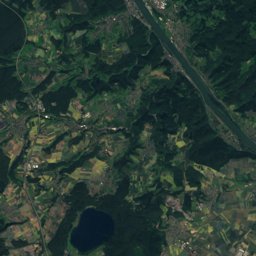
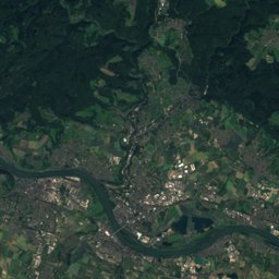
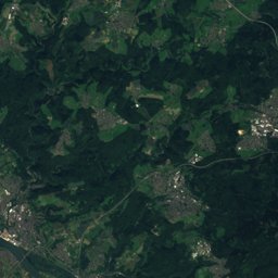
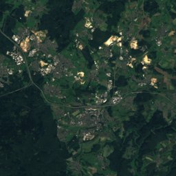
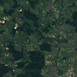
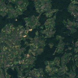
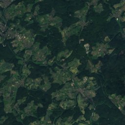
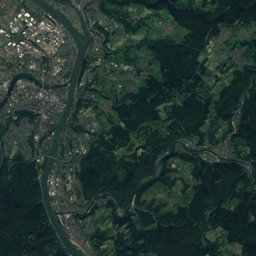
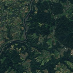
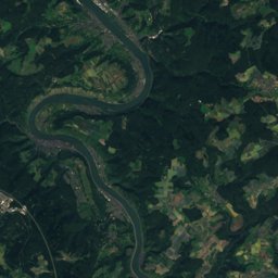
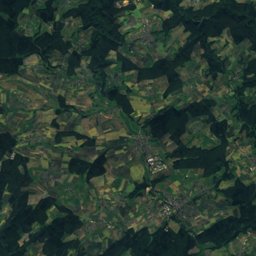
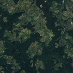
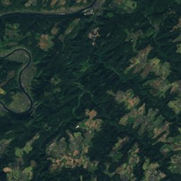
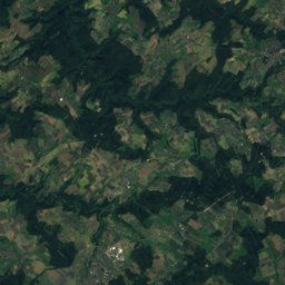
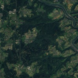
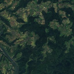
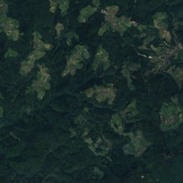
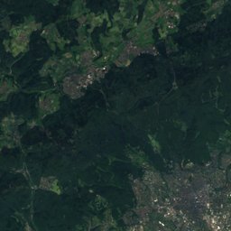
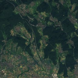
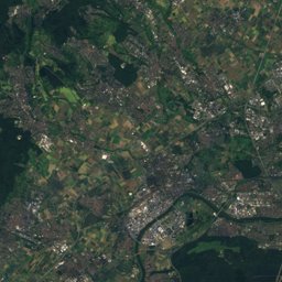
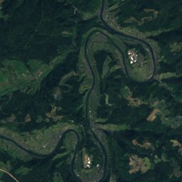
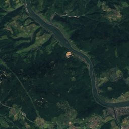
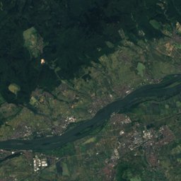
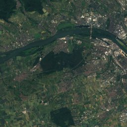
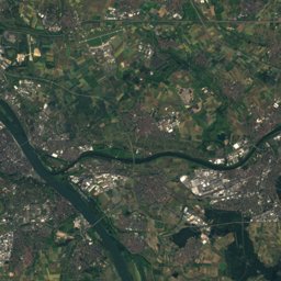
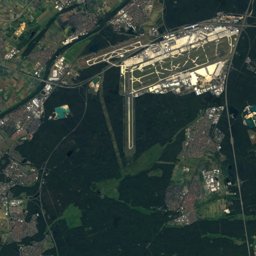
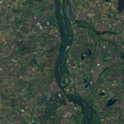
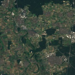
Satellite: Sentinel-2 cloudless 2016 by EOX IT Services GmbH · CC BY 4.0 · Contains modified Copernicus Sentinel data 2016
Outdoor activitiesDiethardt
Outdoors near Diethardt
within 15 km100places
Viewpoints78
Camp sites18
50.17° N, 7.87° EElevation 306 mUTC+1 · Central European Standard Time
When to goDiethardt · weather score
Best timeJun · Aug–Sep
October: high / low14° / 6°
Viewpoints
| Name | Nearby | Details |
|---|---|---|
| Aussichtspunkt Köbelerhof | 14.8 km | Website |
| Schwalbacher Höhe | 13.4 km | 494 m |
| Aachener Schanze | 9.1 km | 331 m |
| Postenturm | 13.8 km | |
| lorchhausen viewpoint | 13.8 km | |
| Heinrich-Heine-Blick | 13.7 km | 208 m |
| Rabenack | 11 km | 117 m |
| Eishecke | 4.3 km | |
| Saurier-Fels | 6.2 km | |
| Oma's Ruh | 6.9 km | |
| Mehrholzblick | 8.5 km | |
| Geroldsteiner Fenster | 8.6 km |
Camp sites
| Name | Nearby | Details |
|---|---|---|
| Camping Loreleyblick | 10.6 km | Website |
| Campingplatz Wisperpark | 10.9 km | Website |
| Campingplatz Holzhausen an der Haide | 7.7 km | Website |
| Camping Sonnenstrand | 14.3 km | Website |
| Campingplatz am Hauserbach Stausee | 8.2 km | Website |
| Loreleystadt | 11.3 km | Website |
| Campingplatz Schönburg-Blick | 11.7 km | Website |
| Häppy Life - Rhein Camping Loreley | 12.5 km | Website |
| Reisemobil Sonnenstrand Bacharachcaravans & motorhomes | 14.1 km | Website |
| Wohnmobilstellplatz Bad Schwalbachcaravans & motorhomes | 14.3 km | Website |
| Bioferienhof Loreley WoMo Platzcaravans & motorhomes | 11.6 km | Website |
| Wohnmobilstellplatz Katzenelnbogencaravans & motorhomes | 13.3 km | Website |
Mountain huts
| Name | Nearby | Details |
|---|---|---|
| Äppelbachhütteunstaffed shelter | 12.8 km | Website |
| Wander-Treff Dachsenhausen-Dessighofenunstaffed shelter | 13.6 km | 394 m |
| Schutzhütte Dahlheimunstaffed shelter | 12.7 km | 332 m |
Mountain huts in Rheinland-Pfalz
Theme parks
| Name | Nearby | Details |
|---|---|---|
| Sommerrodelbahn Loreley-Bob | 9.7 km |
Places come from an open map made by volunteers: well-known sites are there, small or new ones may be missing. Opening times and prices change, so check before you go.