
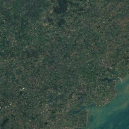
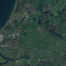
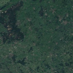
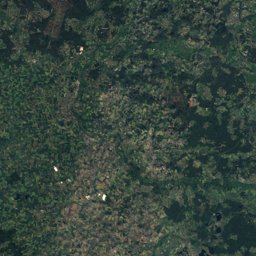
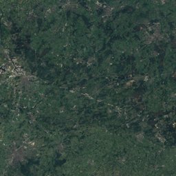
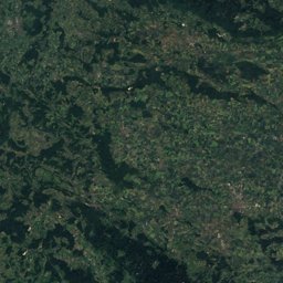
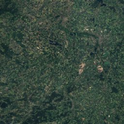
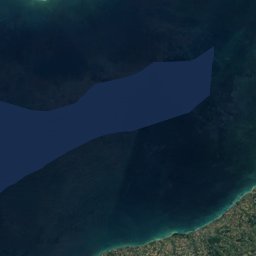
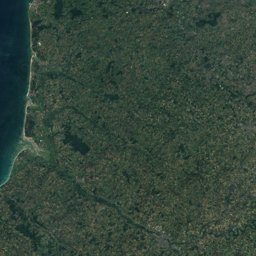
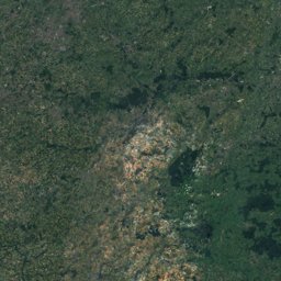

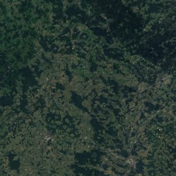
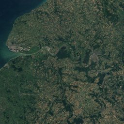
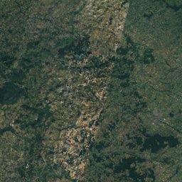
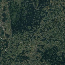
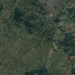
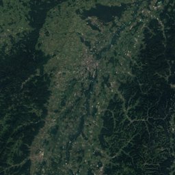
Satellite: Sentinel-2 cloudless 2016 by EOX IT Services GmbH · CC BY 4.0 · Contains modified Copernicus Sentinel data 2016
EarthquakesDatzeroth
Earthquakes near Datzeroth
M5+ · Since 19504≤ 150 km
Last 30 days0≤ 300 km
StrongestM5.51951
50.52° N, 7.42° EElevation 195 mUTC+1 · Central European Standard Time
When to goDatzeroth · weather score
Best timeJul–Sep
October: high / low15° / 7°
Since 1950, 4 earthquakes of magnitude 5 or more have struck within 150 km of Datzeroth; the strongest was M5.5, 14 March 1951. In the last 30 days 0 earthquakes were recorded within 300 km. 12 significant earthquakes on record hit the area.
Last 30 days · ≤ 300 km
None in this period.
M5+ · Since 1950 · ≤ 150 km
| 5.5 | 54 km | 14 March 1951 |
| 5.4 | 134 km | 13 April 1992 |
| 5.2 | 36 km | 28 June 1982 |
| 5.0 | 147 km | 8 November 1983 |
Significant earthquakes on record · ≤ 300 km
| 2014 | 118 km | M3.6 | |
| 2004 | 271 km | M4.8 | |
| 2003 | 281 km | M4.7 | |
| 2003 | 249 km | M5 | |
| 2002 | 101 km | M4.8 | |
| 1992 | 134 km | M5.2 | 1 deaths |
| 1983 | 147 km | M5 | 2 deaths |
| 1978 | 273 km | M5.3 | |
| 1682 | 288 km | – | |
| 1640 | 125 km | – | Tsunami |
| 1510 | 293 km | – | 2,000 deaths |
| 1289 | 215 km | – |