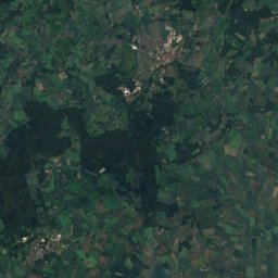
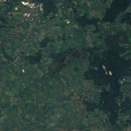
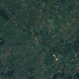
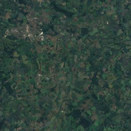
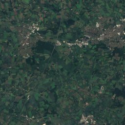
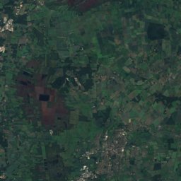
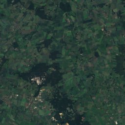
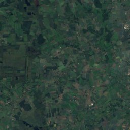
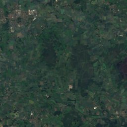
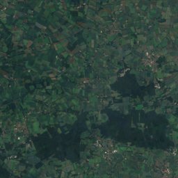
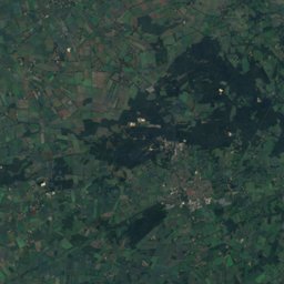
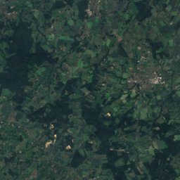
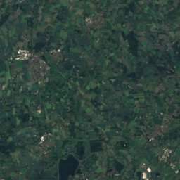
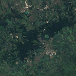
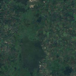
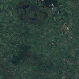
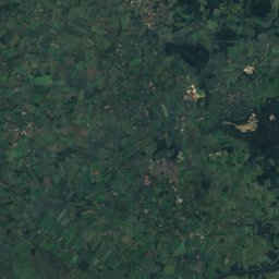
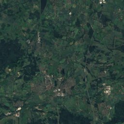
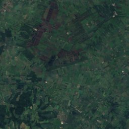
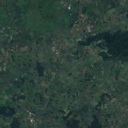
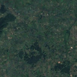
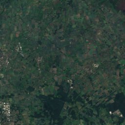
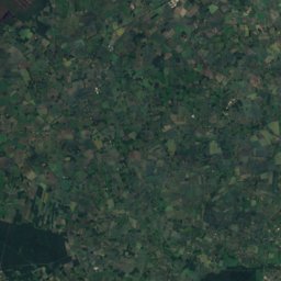
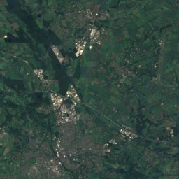
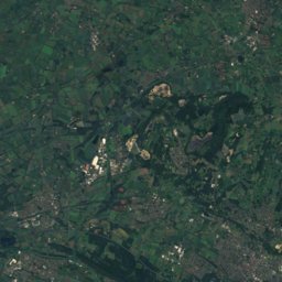
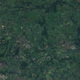
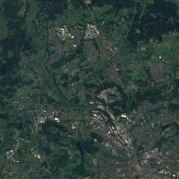
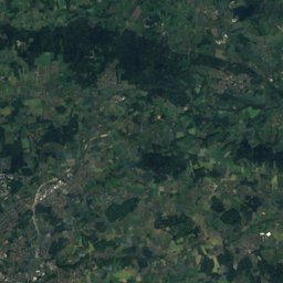
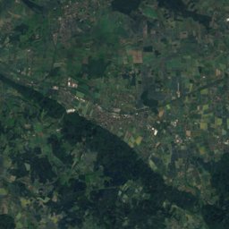
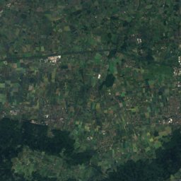
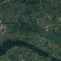
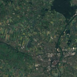
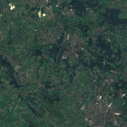
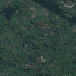
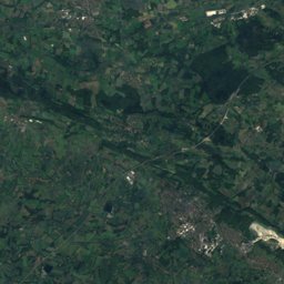
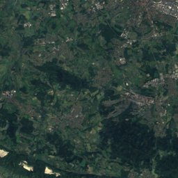
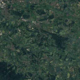
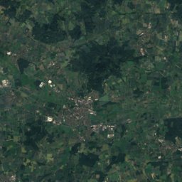
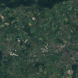
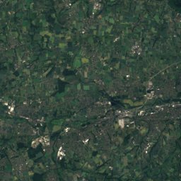
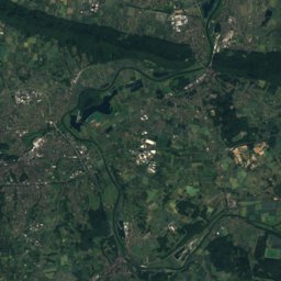
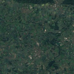
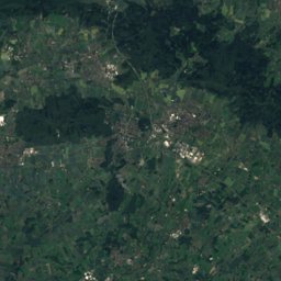
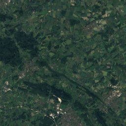
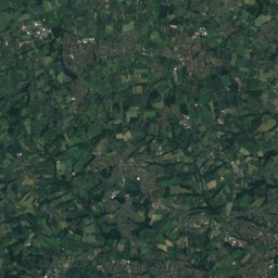
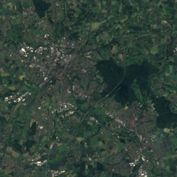
Satellite: Sentinel-2 cloudless 2016 by EOX IT Services GmbH · CC BY 4.0 · Contains modified Copernicus Sentinel data 2016
Outdoor activitiesBohmte
Outdoors near Bohmte
within 15 km27places
Camp sites12
Viewpoints11
52.37° N, 8.32° EElevation 66 mUTC+2 · Central European Summer Time
When to goBohmte · weather score
Best timeMay–Jun · Sep
October: high / low14° / 7°
Camp sites
| Name | Nearby | Details |
|---|---|---|
| Campingplatz Kronensee | 5.9 km | Website |
| Campingplatz Waldwinkel | 14.8 km | Website |
| Campingplatz Duemmer See C10 | 14.6 km | Website |
| Jugendzeltplatz Melle-Meesdorf | 11.8 km | Website |
| Reisemobilstellplatz Hollenmühlecaravans & motorhomes | 8.3 km | Website |
| Varus-Deele Wohnmobilparkplatzcaravans & motorhomes | 14.2 km | Website |
| Leckermeyer-Hannker | 14.8 km | Website |
| Rennegarbe-Keßmann | 14.5 km | |
| Wohnmobilstellplatz Falkenburgcaravans & motorhomes | 5.7 km | |
| Campingplatz & Bootshafen Dümmer Seebackcountry | 14.8 km | |
| Aussichtsturm Börninghausencaravans & motorhomes | 13.1 km | |
| Wohnmobilstellplatz Am Freudeneckcaravans & motorhomes | 11.1 km |
Viewpoints
| Name | Nearby | Details |
|---|---|---|
| Wiehenturm | 13.2 km | 203 m |
| Aspelohhütte | 4.5 km | |
| Himmelsterrasse | 5.8 km | |
| Familie Niehaus | 6 km | |
| Hallaubusch | 6.7 km | |
| Weg - Schwarz | 10.2 km | |
| Venner Turm | 12.8 km | |
| Turm Ochsenmoor | 12.9 km | |
| Aussichtsturm | 13.4 km | |
| Aussichtsturm Südseite | 13.5 km | |
| Aussichstpunkt "Osterfeuer" | 14.7 km |
Golf courses
| Name | Nearby | Details |
|---|---|---|
| Golfclub Varus | 11.5 km | Website |
| Osnabrücker Golf Club | 11.7 km |
Hot springs & thermal baths
| Name | Nearby | Details |
|---|---|---|
| Thermalsole-Freibad Bad Essenthermal baths | 5.7 km |
Theme parks
| Name | Nearby | Details |
|---|---|---|
| Naturpark Kreimerhof | 14.4 km |
Places come from an open map made by volunteers: well-known sites are there, small or new ones may be missing. Opening times and prices change, so check before you go.