




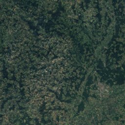
Satellite: Sentinel-2 cloudless 2016 by EOX IT Services GmbH · CC BY 4.0 · Contains modified Copernicus Sentinel data 2016
EarthquakesBehringen, Ilm-Kreis, Thuringia
Earthquakes near Behringen
M5+ · Since 19504≤ 150 km
Last 30 days0≤ 300 km
StrongestM5.41953
50.77° N, 11.01° EElevation 366 mUTC+1 · Central European Standard Time
When to goBehringen · weather score
Best timeJun · Aug–Sep
October: high / low13° / 5°
Since 1950, 4 earthquakes of magnitude 5 or more have struck within 150 km of Behringen; the strongest was M5.4, 22 February 1953. In the last 30 days 0 earthquakes were recorded within 300 km. 2 significant earthquakes on record hit the area.
Last 30 days · ≤ 300 km
None in this period.
M5+ · Since 1950 · ≤ 150 km
| 5.4 | 69 km | 22 February 1953 |
| 5.3 | 84 km | 23 June 1975 |
| 5.3 | 51 km | 8 July 1958 |
| 5.1 | 105 km | 21 December 1985 |
Significant earthquakes on record · ≤ 300 km
| 2014 | 201 km | M3.6 | |
| 1510 | 222 km | – | 2,000 deaths |