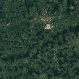
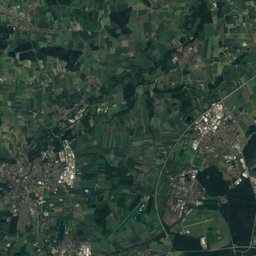
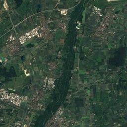
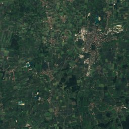
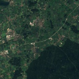
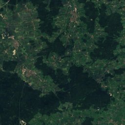
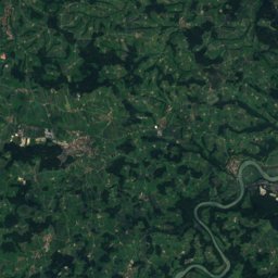
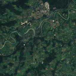
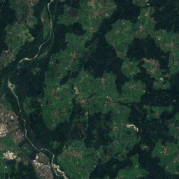
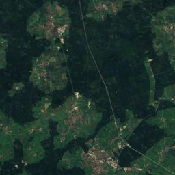
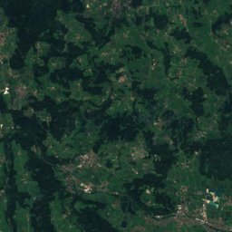
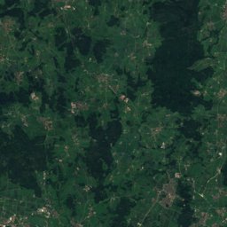
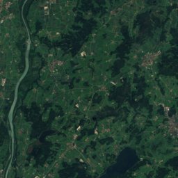
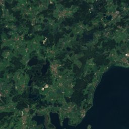
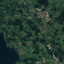
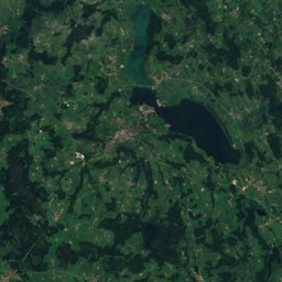
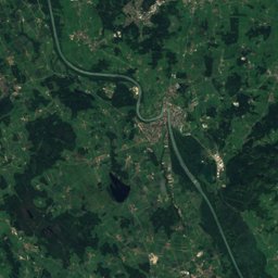
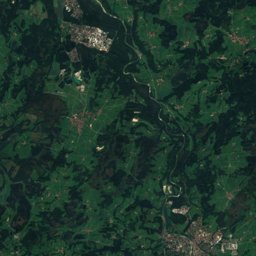
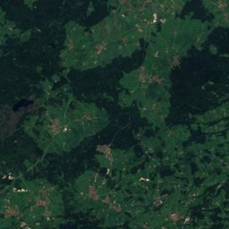
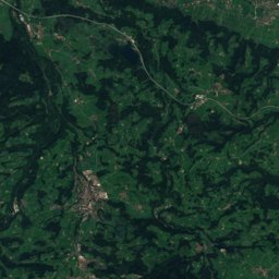
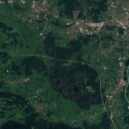
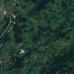
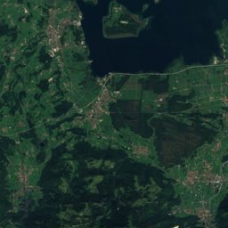
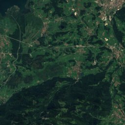
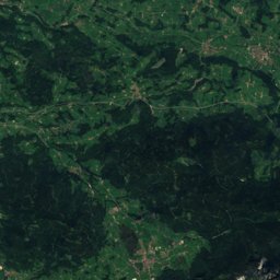
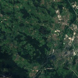
Satellite: Sentinel-2 cloudless 2016 by EOX IT Services GmbH · CC BY 4.0 · Contains modified Copernicus Sentinel data 2016
Outdoor activitiesAmerang
Outdoors near Amerang
within 15 km37places
Viewpoints21
Camp sites10
47.99° N, 12.31° EElevation 538 mUTC+1 · Central European Standard Time
When to goAmerang · weather score
Best timeJun–Aug
October: high / low14° / 5°
Viewpoints
| Name | Nearby | Details |
|---|---|---|
| Beobachtungsturm Ganszipfel | 14.9 km | Website |
| Ratzinger Höhe | 12.8 km | 691 m |
| Ludwigshöhe | 12.3 km | 606 m |
| Alpenpanorama - vom Chiemgau bis Garmisch | 6.3 km | 585 m |
| Aussichtspodest Verlandungszone | 1.9 km | |
| Aussichtsplattform Hochmoor | 3.3 km | |
| Aussichtspunkt Alpenpanorama | 5.4 km | |
| Haiming | 5.8 km | |
| Aussichtsturm | 8.9 km | |
| Schöne Aussicht | 9.2 km | |
| Auf der Burg | 9.7 km | |
| Schanze | 10.1 km |
Camp sites
| Name | Nearby | Details |
|---|---|---|
| Campingplatz Soyensee | 14.5 km | Website |
| Camping Stein | 12.2 km | Website |
| Campingplatz Erlensee | 14.7 km | Website |
| Chiemgau Camping Lambach | 12.8 km | Website |
| Wohnmobilstellplatz Sport- und Freizeitzentrum Badriacaravans & motorhomes | 9 km | Website |
| Wohnmobilparkplatz Unter der Rampecaravans & motorhomes | 10 km | Website |
| Schmiedhof Wolfsberg | 2.4 km | Website |
| Camping Sebastian Huber | 11.7 km | |
| Wohnmobilstellplatz Am Badriacaravans & motorhomes | 9 km | |
| Wohnmobilparkplätze am Griescaravans & motorhomes | 9.4 km |
Golf courses
Theme parks
Hot springs & thermal baths
| Name | Nearby | Details |
|---|---|---|
| Chiemgau Thermenthermal baths | 10.1 km | Website |
Surf spots
| Name | Nearby | Details |
|---|---|---|
| Kiteboarding Chiemsee e.V.kitesurf | 14.3 km | Website |
Diving
- Chiemsee16.8 km
Places come from an open map made by volunteers: well-known sites are there, small or new ones may be missing. Opening times and prices change, so check before you go.