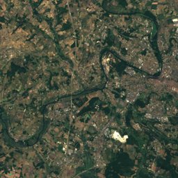
Satellite: Sentinel-2 cloudless 2016 by EOX IT Services GmbH · CC BY 4.0 · Contains modified Copernicus Sentinel data 2016
Outdoor activitiesSorges
Outdoors near Sorges
within 15 km18places
Camp sites15
Viewpoints2
45.31° N, 0.87° EElevation 181 mUTC+1 · Central European Standard Time
When to goSorges · weather score
Best timeJun–Jul · Sep
October: high / low19° / 9°
Camp sites
| Name | Nearby | Details |
|---|---|---|
| Le Repaire | 12.6 km | ★★★ · Website |
| Camping Au Fil de l'Eau | 10.8 km | Website |
| Camping de l'îlot | 10.9 km | Website |
| Huttopia Lanmary | 8.2 km | |
| Aire de camping-car de Sorges-et-Ligueux-en-Périgordcaravans & motorhomes | 0.4 km | Website |
| Ferme d'Andreviascaravans & motorhomes | 1 km | Website |
| Aire communale de Sarliac-sur-l'Islecaravans & motorhomes | 8 km | Website |
| La Chapelle d'Auberoche | 11.1 km | |
| Camping Le Pont Rougebackcountry | 14.9 km | |
| Camping de Corgnac sur l'Isle | 9.8 km | |
| O Bois Dormant | 6 km | |
| Camping de St Pierre de Côle | 9.6 km |
Viewpoints
| Name | Nearby | Details |
|---|---|---|
| Vue sur le prieuré | 13.1 km | |
| table d'orientation | 14.1 km |
Climbing
| Name | Nearby | Details |
|---|---|---|
| Antipodeclimbing gym | 14.9 km | Website |
Places come from an open map made by volunteers: well-known sites are there, small or new ones may be missing. Opening times and prices change, so check before you go.