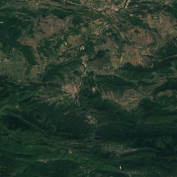
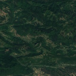
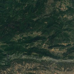
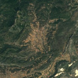
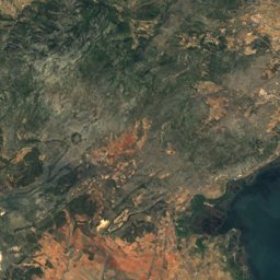
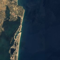



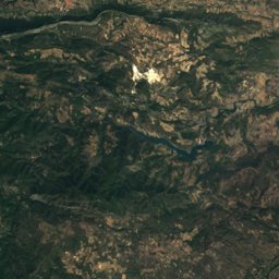
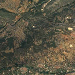
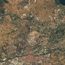
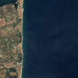



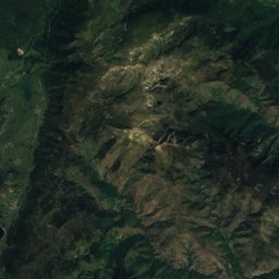
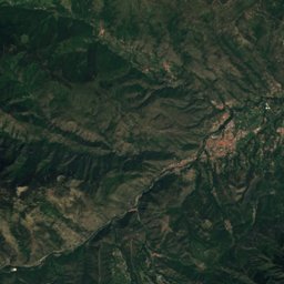
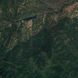
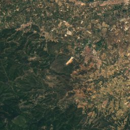
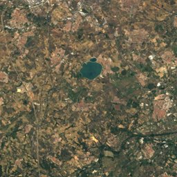
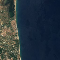



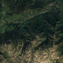
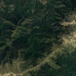



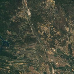
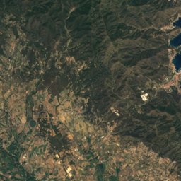
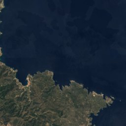


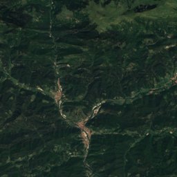
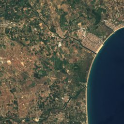


Satellite: Sentinel-2 cloudless 2016 by EOX IT Services GmbH · CC BY 4.0 · Contains modified Copernicus Sentinel data 2016
Outdoor activitiesSaint-André, Occitanie
Outdoors near Saint-André
within 15 km126places
Camp sites92
Viewpoints10
42.55° N, 2.97° EElevation 37 mUTC+1 · Central European Standard Time
When to goSaint-André · weather score
Best timeMay · Sep–Oct
October: high / low22° / 13°
Camp sites
| Name | Nearby | Details |
|---|---|---|
| Le Soleil | 6.4 km | ★★★★★ · Website |
| Camping La Sirène | 5.1 km | ★★★★★ · Website |
| Camping Club le Littoral | 6.1 km | ★★★★★ · Website |
| Camping Le Dauphin | 4.6 km | ★★★★★ · Website |
| Les Criques de Porteils | 8.4 km | ★★★★★ · Website |
| Le Florida | 6.1 km | ★★★★★ · Website |
| Le Méditerranée | 4.9 km | ★★★★★ · Website |
| Camping Taxo Les Pins | 3.6 km | ★★★★ · Website |
| Camping Les Marsouins - Ciela Village | 5.2 km | ★★★★ · Website |
| Camping L'Hippocampe | 5.4 km | ★★★★★ · Website |
| Le Bois de Valmarie | 6.8 km | ★★★★★ · Website |
| Le Front de Mer | 6 km | ★★★★ · Website |
Viewpoints
| Name | Nearby | Details |
|---|---|---|
| Belvedere - Puig Nalt (561 m) | 4.3 km | |
| le belvédère de Laroque des Albères | 4.7 km | |
| Terrasse du Clôître | 5.3 km | |
| El Mirador | 7.6 km | |
| Coll dels Tres Faigs | 8.5 km | |
| Point de vue n°7 - Sur le clocher de Collioure | 9.9 km | |
| Collioure | 9.9 km | |
| Chapelle Saint-Vincent | 9.9 km | |
| Poste d'Observation Ornithologique | 12.6 km | |
| Coll de Banyuls. | 13.2 km |
Theme parks
Mountain huts
Climbing
Hot springs & thermal baths
| Name | Nearby | Details |
|---|---|---|
| Thermes du Boulouthermal baths | 12.7 km | Website |
| Source Clementinenatural spring | 12.7 km |
Golf courses
| Name | Nearby | Details |
|---|---|---|
| Golf de Saint-Cyprien | 10.5 km | |
| Golf de Montescot | 8.6 km |
Zoos
Water parks
| Name | Nearby | Details |
|---|---|---|
| Aqualand | 7.3 km | Website |
| Parc Aquatique | 5.5 km |
Diving
- Archipel Plongée6.4 km
- CIP Collioure9.9 km
- AIRHP2411.9 km
- Pythéas12.9 km
Places come from an open map made by volunteers: well-known sites are there, small or new ones may be missing. Opening times and prices change, so check before you go.