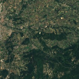
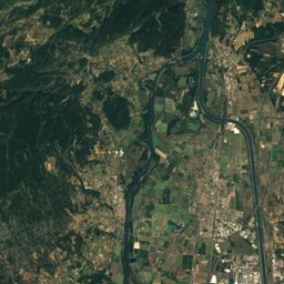
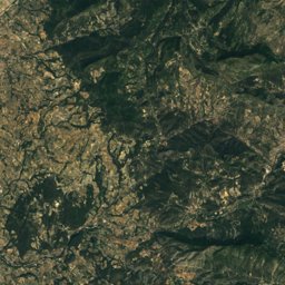
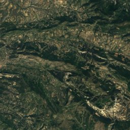
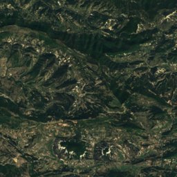
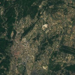
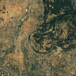
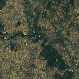
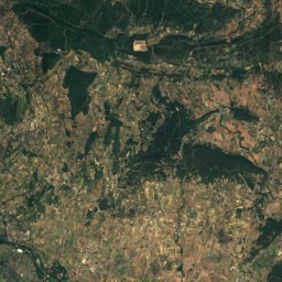
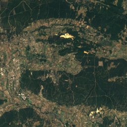
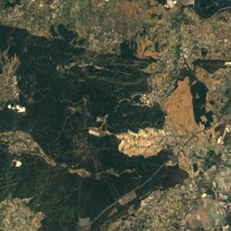
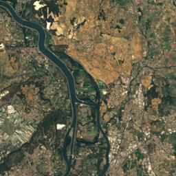
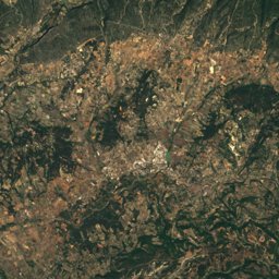
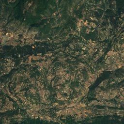
Satellite: Sentinel-2 cloudless 2016 by EOX IT Services GmbH · CC BY 4.0 · Contains modified Copernicus Sentinel data 2016
Outdoor activitiesSablet
Outdoors near Sablet
within 15 km54places
Camp sites34
Climbing10
44.19° N, 5.01° EElevation 176 mUTC+1 · Central European Standard Time
When to goSablet · weather score
Best timeApr · Sep–Oct
October: high / low20° / 10°
Camp sites
| Name | Nearby | Details |
|---|---|---|
| Camping des Favards | 6.6 km | ★★★★ · Website |
| Camping du Théâtre Romain | 8.3 km | ★★★★ · Website |
| Les 3 Rivières | 12.6 km | ★★ · Website |
| Camping Le Bosquet | 9.6 km | ★★ · Website |
| Camping municipal - Parc des Peupliers | 12.1 km | ★★ · Website |
| Camping municipal Roquefiguier | 8.2 km | ★★ · Website |
| Carpe Diem | 8.2 km | Website |
| Camping Municipal de Tulette | 12 km | ★★ · Website |
| Les Rives de l'Aygues | 9.9 km | Website |
| Le Soleil de Provence | 11.7 km | Website |
| Camping Le Brégoux | 10.8 km | Website |
| Camping de l'Hérein | 14.3 km | Website |
Camp sites in Provence-Alpes-Côte d'Azur
Climbing
| Name | Nearby | Details |
|---|---|---|
| Ventoux Blocclimbing gym | 13.6 km | Website |
| Aussiestcrag | 13.8 km | 65 m · Website |
| Sensablocclimbing gym | 14.1 km | Website |
| Le Cayroncrag | 3.6 km | |
| Rocher du Grand Traverscrag | 3.8 km | |
| Dentelles Sarrasinescrag | 4.4 km | 1,135 m |
| Rocher Saint-Christophecrag | 5.2 km | |
| Le Clapiscrag | 5.3 km | |
| Structure Artificielle d'Escaladeclimbing gym | 8.5 km | |
| Combe obscurecrag | 12.6 km |
Climbing in Provence-Alpes-Côte d'Azur
Viewpoints
| Name | Nearby | Details |
|---|---|---|
| Col de la Chaine | 7.4 km | 472 m |
| Table d'orientation | 0 km | |
| Les Hauts de Montmirail - Domaine Brusset | 5.7 km | |
| Table d'Orientation | 5.7 km | |
| Village du Crestet | 6.8 km | |
| Castellas de Durban | 7.5 km | |
| table d'orientation | 10.3 km | |
| théâtre de verdure | 10.7 km | |
| Mairie de Crillon le Brave | 13.8 km |
Viewpoints in Provence-Alpes-Côte d'Azur
Golf courses
| Name | Nearby | Details |
|---|---|---|
| Golf du Ventoux-Orange | 14.1 km | Website |
Ski areas
Places come from an open map made by volunteers: well-known sites are there, small or new ones may be missing. Opening times and prices change, so check before you go.