






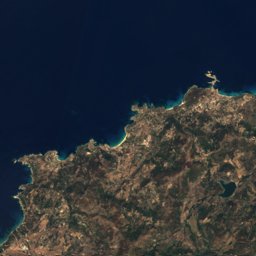
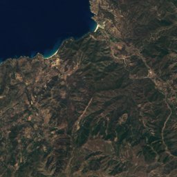
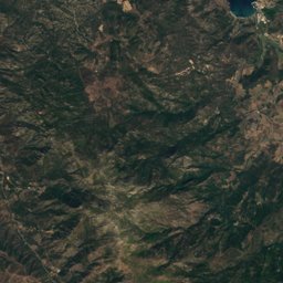
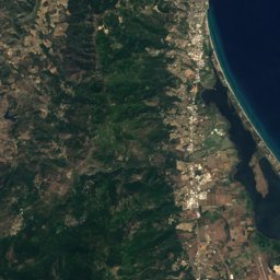
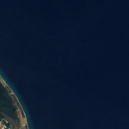



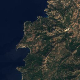
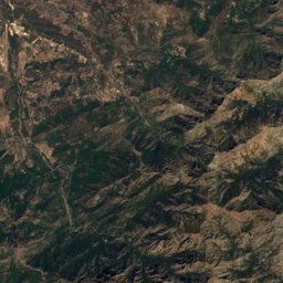
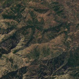


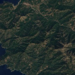
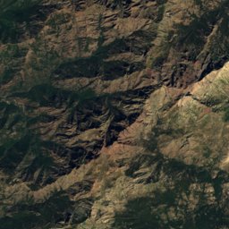
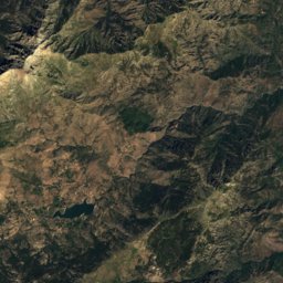
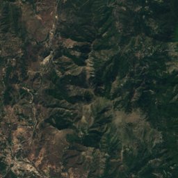
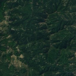
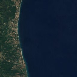


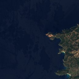
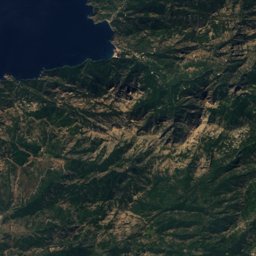
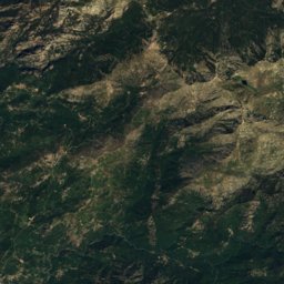
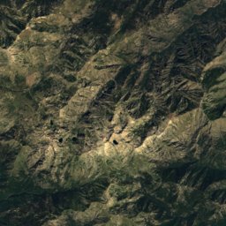
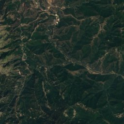
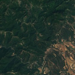
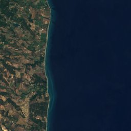


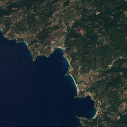
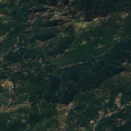
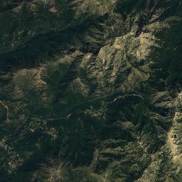
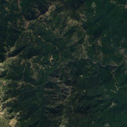
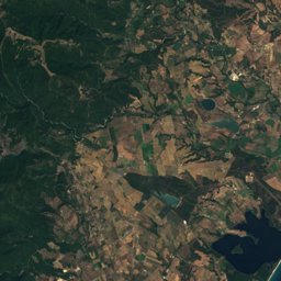
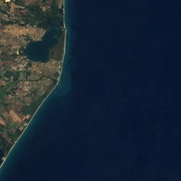


Satellite: Sentinel-2 cloudless 2016 by EOX IT Services GmbH · CC BY 4.0 · Contains modified Copernicus Sentinel data 2016
Outdoor activitiesPolveroso
Outdoors near Polveroso
within 15 km24places
Climbing10
Camp sites8
42.40° N, 9.36° EElevation 580 mUTC+1 · Central European Standard Time
When to goPolveroso · weather score
Best timeMay–Jul
October: high / low19° / 10°
Climbing
| Name | Nearby | Details |
|---|---|---|
| Caporalinu - Boulinu Centrecrag | 14.3 km | Website |
| Caporalinu - A Torracrag | 14.4 km | Website |
| Caporalinu - Boulinu Droitecrag | 14.4 km | Website |
| Caporalinu - Senteurs brulées (ex Névralgie)crag | 14.7 km | Website |
| Site d'escalade de Castel Vecchiocrag | 8.7 km | |
| Aïticrag | 13.6 km | |
| Guy Caucrag | 13.8 km | |
| La Barettecrag | 14 km | 53 m |
| Le Grottecrag | 14 km | |
| Falaise de Soupietracrag | 14.8 km |
Camp sites
Viewpoints
| Name | Nearby | Details |
|---|---|---|
| Valley view | 6.8 km | |
| Sorbellu | 0.8 km | |
| Vista Rotondo, Paghlia Orba, Cinto | 5.7 km | |
| Le Pont de l'Enfer | 9.2 km | |
| Rocher de Tripicciali | 10.9 km | |
| Rocher de Canaja | 11.2 km |
Ski areas
Diving
- Costa Verde Loisirs16 km
Places come from an open map made by volunteers: well-known sites are there, small or new ones may be missing. Opening times and prices change, so check before you go.