





















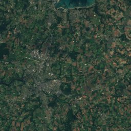
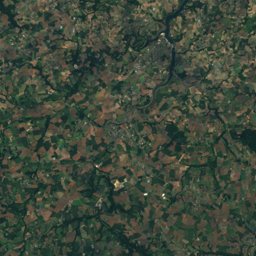
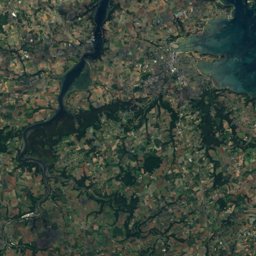
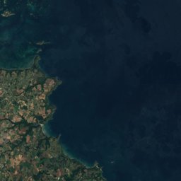


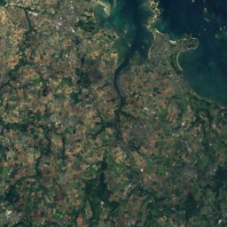
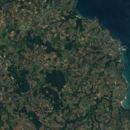
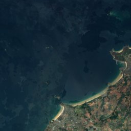
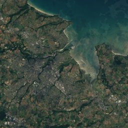
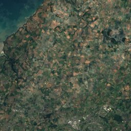
Satellite: Sentinel-2 cloudless 2016 by EOX IT Services GmbH · CC BY 4.0 · Contains modified Copernicus Sentinel data 2016
Outdoor activitiesPleudaniel
Outdoors near Pleudaniel
within 15 km57places
Camp sites42
Viewpoints12
48.77° N, 3.14° WElevation 42 mUTC+1 · Central European Standard Time
When to goPleudaniel · weather score
Best timeJun–Jul · Sep
October: high / low17° / 10°
Camp sites
| Name | Nearby | Details |
|---|---|---|
| Camping Cap de Bréhat | 13 km | ★★★★ · Website |
| Le Neptune | 14.2 km | ★★★★ · Website |
| Camping Le Varlen | 11.6 km | ★★★ · Website |
| Camping du Cruckin | 8.9 km | ★★ · Website |
| Camping municipal de Beg ar Vilin | 10 km | ★★ · Website |
| Camping de Kerbignious | 9.3 km | ★★ · Website |
| Camping du domaine du Launay | 10.8 km | Website |
| Flower camping Port la Chaîne | 9.9 km | Website |
| Les Hauts de Port Blanc | 12.9 km | Website |
| Camping Traou Mélédern | 8.2 km | Website |
| Le Varquez | 14.7 km | Website |
| Le Coq Hardi | 5.3 km | Website |
Viewpoints
| Name | Nearby | Details |
|---|---|---|
| Le Gouffre | 13 km | |
| Rocher argenté | 3.7 km | |
| Vue sur le Trieux | 4 km | |
| Pointe Coatmer | 5.3 km | |
| La Roche aux Oiseaux | 7.6 km | |
| Pointe de Gouern | 8.8 km | |
| Rocher du Corbeau | 9.2 km | |
| Pointe de Guilben, Paimpol | 9.7 km | |
| Panorama du Rohou | 10.8 km | |
| Pointe de la Trinité | 10.9 km | |
| Pointe du Château | 12.8 km | |
| Voleur | 14.6 km |
Climbing
| Name | Nearby | Details |
|---|---|---|
| Roc'h n Blocclimbing gym | 7.8 km | Website |
| Structure Artificielle d'Escaladeclimbing gym | 7.3 km |
Golf courses
| Name | Nearby | Details |
|---|---|---|
| Golf Gilles de Boisgelin | 12.9 km | Website |
Diving
- Force86.3 km
Places come from an open map made by volunteers: well-known sites are there, small or new ones may be missing. Opening times and prices change, so check before you go.