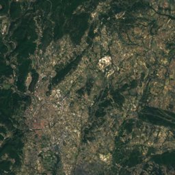
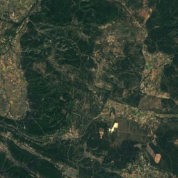
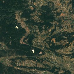
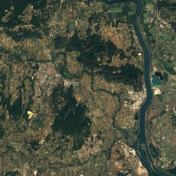
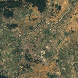
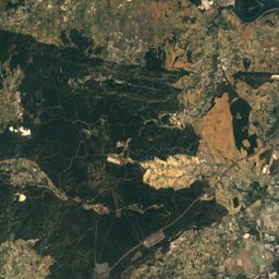
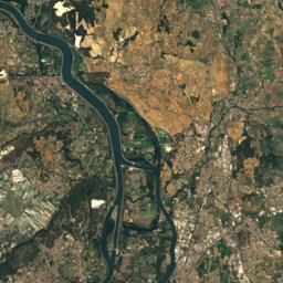
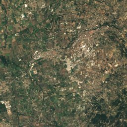
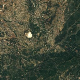
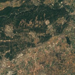
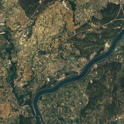
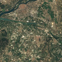
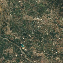
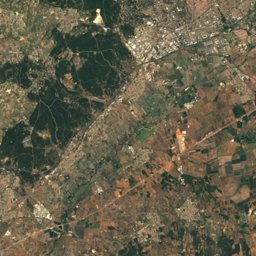
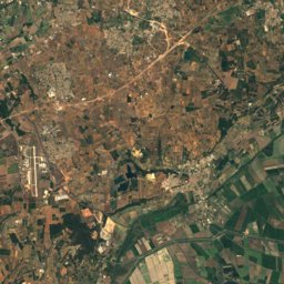
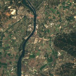
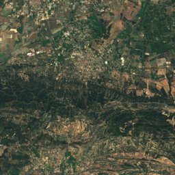
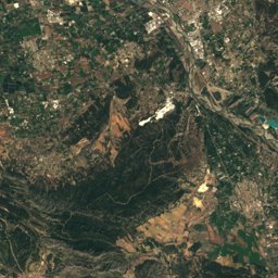
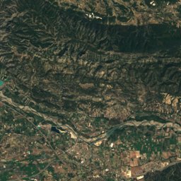
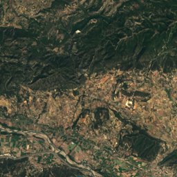
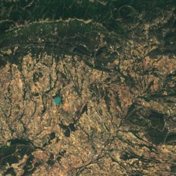
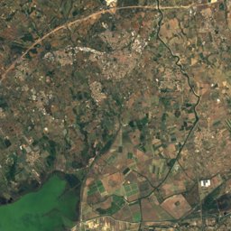
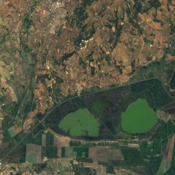
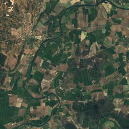
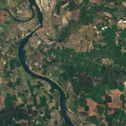
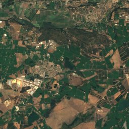
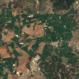
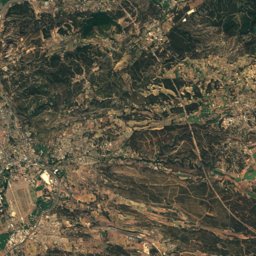
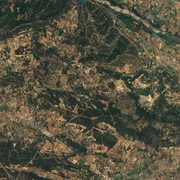
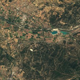
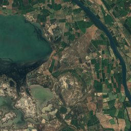
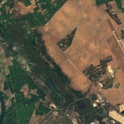
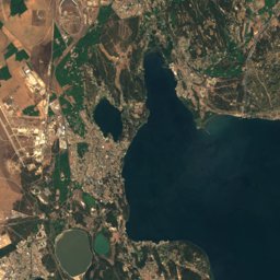
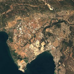
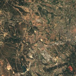
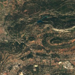
Satellite: Sentinel-2 cloudless 2016 by EOX IT Services GmbH · CC BY 4.0 · Contains modified Copernicus Sentinel data 2016
Outdoor activitiesPlan-d'Orgon
Outdoors near Plan-d'Orgon
within 15 km52places
Climbing23
Camp sites22
43.81° N, 5.00° EElevation 70 mUTC+1 · Central European Standard Time
When to goPlan-d'Orgon · weather score
Best timeApr–May · Sep
October: high / low21° / 10°
Climbing
| Name | Nearby | Details |
|---|---|---|
| Vallée heureusecrag | 4.7 km | |
| La Patinoirecrag | 4 km | 44 m |
| Secteur du B.B.crag | 4 km | 45 m |
| Fleurs du Malcrag | 4 km | 23 m |
| Guardian Angelcrag | 4 km | 31 m |
| Amarcordcrag | 4 km | 102 m |
| Cavaillon Accès ouestcrag | 4 km | |
| Rapeusecrag | 4 km | 59 m |
| Miroircrag | 4 km | 12 m |
| Secteur Hcrag | 4.1 km | 68 m |
| Tendres Passionscrag | 4.1 km | 22 m |
| Cavaillon Accès sudcrag | 4.3 km |
Climbing in Provence-Alpes-Côte d'Azur
Camp sites
| Name | Nearby | Details |
|---|---|---|
| La Vallée Heureuse | 4.6 km | ★★★★ · Website |
| Camping Les Rives du Luberon | 7.9 km | ★★★★ · Website |
| Camping Monplaisir | 13.8 km | ★★★★ · Website |
| Camping La Coutelière | 14.4 km | ★★★★ · Website |
| Mas de Nicolas | 12.6 km | ★★★★ · Website |
| Le Parc de la Bastide | 12.2 km | ★★★ · Website |
| Le Pilon d'Agel | 7.7 km | ★★★ · Website |
| La Sorguette | 13.5 km | ★★★ · Website |
| La Durance | 3.8 km | ★★★ · Website |
| Camping Pégomas | 12.5 km | ★★★ · Website |
| Camping les Royères du Prieuréalt | 11.5 km | ★★ · Website |
| Les Oliviers | 6.3 km | ★★ · Website |
Camp sites in Provence-Alpes-Côte d'Azur
Viewpoints
| Name | Nearby | Details |
|---|---|---|
| Arboretum du Badon | 7.5 km | |
| Belvédère Pierre de Brun | 13.6 km | |
| Pieï | 13.6 km |
Viewpoints in Provence-Alpes-Côte d'Azur
Golf courses
| Name | Nearby | Details |
|---|---|---|
| Golf de Servanes | 14.8 km | |
| Golf d'Avignon Chateaublanc | 14.5 km |
Mountain huts
| Name | Nearby | Details |
|---|---|---|
| Bastidon du Pradonunstaffed shelter | 13.9 km | 706 m |
Zoos
| Name | Nearby | Details |
|---|---|---|
| L'Arche de Méo | 4.1 km | Website |
Places come from an open map made by volunteers: well-known sites are there, small or new ones may be missing. Opening times and prices change, so check before you go.