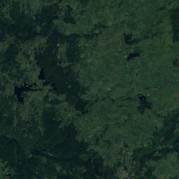
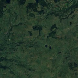
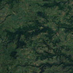
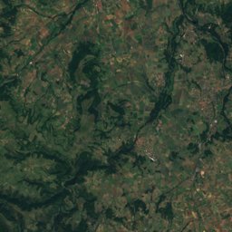
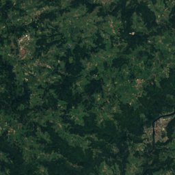
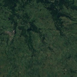
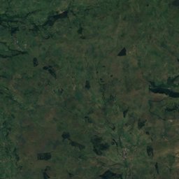
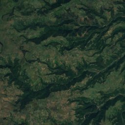
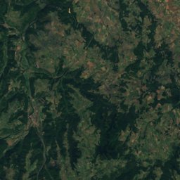
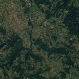
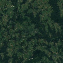
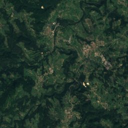
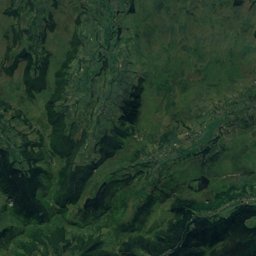
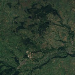
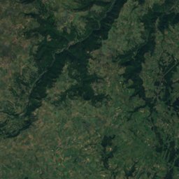
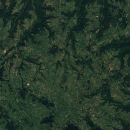
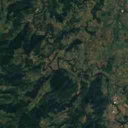
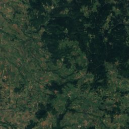
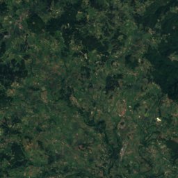
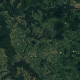
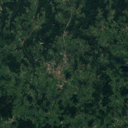
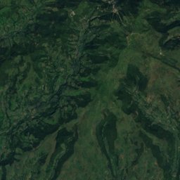
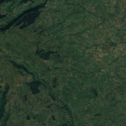
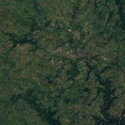
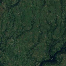
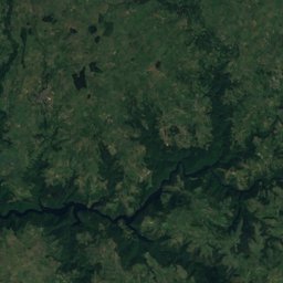
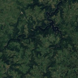
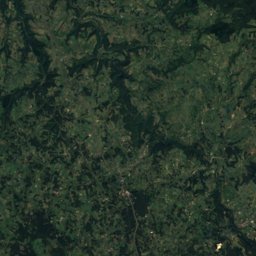
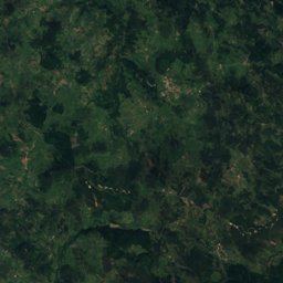
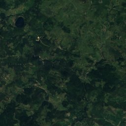
Satellite: Sentinel-2 cloudless 2016 by EOX IT Services GmbH · CC BY 4.0 · Contains modified Copernicus Sentinel data 2016
Outdoor activitiesPébrac
Outdoors near Pébrac
within 15 km16places
Camp sites14
Viewpoints2
45.03° N, 3.51° EElevation 673 mUTC+2 · Central European Summer Time
When to goPébrac · weather score
Best timeJul–Sep
October: high / low16° / 6°
Camp sites
| Name | Nearby | Details |
|---|---|---|
| Camping des Gorges de l'Allier | 8.3 km | ★★★ · Website |
| Le Vivier | 13.2 km | ★★★ · Website |
| Les Sources | 14 km | ★★★ |
| La Seuge | 8.3 km | Website |
| Camping municipal Au Fil de l’Eau | 14.4 km | Website |
| Camping municipal de Siaugues Sainte-Marie | 11.6 km | ★★★ |
| L’accueil des Camping-cars Chanteugescaravans & motorhomes | 4.9 km | Website |
| Aire naturelle de camping La Gravière | 5.3 km | Website |
| Bivouac Kulupu | 12.4 km | Website |
| Aire camping-cars Le Vernetcaravans & motorhomes | 12.7 km | Website |
| Camping à la ferme Les Baies Sauvages | 13.8 km | Website |
| Municipal Le Marchat | 14 km | ★★ |
Camp sites in Auvergne-Rhône-Alpes
Viewpoints
| Name | Nearby | Details |
|---|---|---|
| La Durande | 11.3 km | 1,299 m |
| Point de vue sur ND D'Estours | 6.8 km |
Places come from an open map made by volunteers: well-known sites are there, small or new ones may be missing. Opening times and prices change, so check before you go.