Skip to content
Destinations
Weather & climate
Nature
Outdoors
Culture
Events
Sky & live
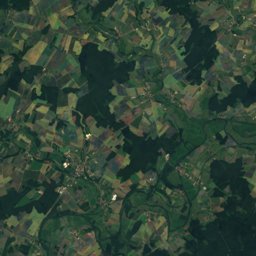
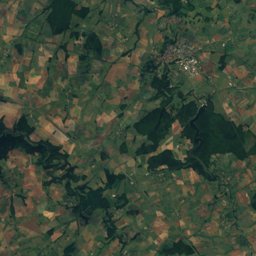
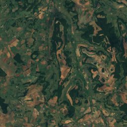
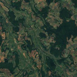
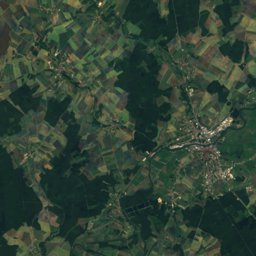
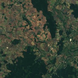
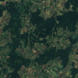
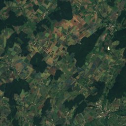
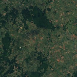
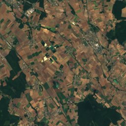
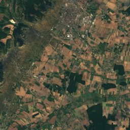
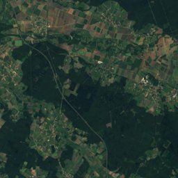
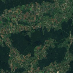
Satellite: Sentinel-2 cloudless 2016 by EOX IT Services GmbH · CC BY 4.0 · Contains modified Copernicus Sentinel data 2016
Weather forecastOuges, France · Model run 2026-10-22 12:00 UTC

Ouges 5-day weather

High12–16°5 days
Low5–8°vs usual ±0°
Rain30 mmdays with rain: 4
47.26° N, 5.07° EElevation 218 mUTC+2 · Central European Summer Time
When to goOuges · weather score
JanFebMarAprMayJunJulAugSepOctNovDec56October
Best timeJun–Jul · Sep
October: high / low16° / 8°

Over the next 5 days in Ouges the afternoons reach 12° to 16° and the nights 5° to 8°. About 30 mm of rain is expected on 4 days; the wettest day is Sunday 25 October. The warmest day looks like Friday 23 October. On average the period is close to the usual for the season.

Day by day

Today

22 October
15° 8°
Cloudy
  • Rain 0 mm · 0%
  • Wind 18 km/h
  • Cloud cover 77%
  • vs usual ±0°
  • Sunrise · sunset 08:08 · 18:41
Night–
Morning–
Afternoon15°–
Evening10°–

Tomorrow

23 October
16° 7°
Showers
  • Rain 5 mm · 36%
  • Wind 33 km/h
  • Cloud cover 67%
  • vs usual +1°
  • Sunrise · sunset 08:10 · 18:40
Night8°–
Morning11°3 mm
Afternoon14°2 mm
Evening9°0 mm

Saturday

24 October
12° 5°
Rain
  • Rain 7 mm · 36%
  • Wind 22 km/h
  • Cloud cover 86%
  • vs usual −3°
  • Sunrise · sunset 08:11 · 18:38
Night6°1 mm
Morning8°–
Afternoon12°0 mm
Evening9°5 mm

Sunday

25 October
14° 8°
Rain
  • Rain 17 mm · 72%
  • Wind 27 km/h
  • Cloud cover 71%
  • vs usual ±0°
  • Sunrise · sunset 07:13 · 17:36
Night8°4 mm
Morning11°3 mm
Afternoon14°9 mm
Evening9°–

Monday

26 October
15° 5°
Rain
  • Rain 2 mm · 12%
  • Wind 16 km/h
  • Cloud cover 87%
  • vs usual +1°
  • Sunrise · sunset 07:14 · 17:34
Night6°–
Morning8°–
Afternoon14°0 mm
Evening12°2 mm

The next 48 hours

Fri 23Sat 249°Now7°028°0.1059°10812°11116°0.41413°11710°0.4209°236°0.2026°1056°0810°1112°0.21412°179°220

Rain in mm per 3 hours; times are local.

Weather in nearby places

About this forecast

Days 1–10: a high-resolution global weather model (0.25° grid), adjusted to this place's own climate so that a hill village is not given the valley's warmth. New model runs arrive twice a day.