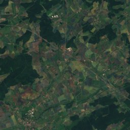
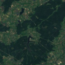
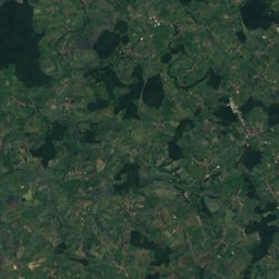
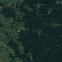
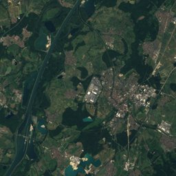
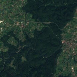
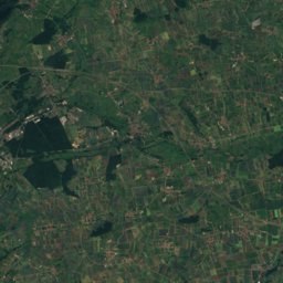
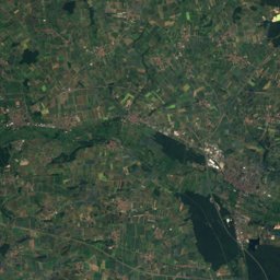
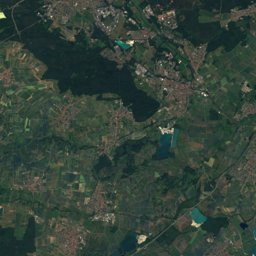
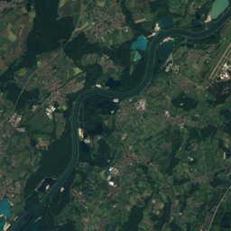
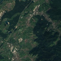
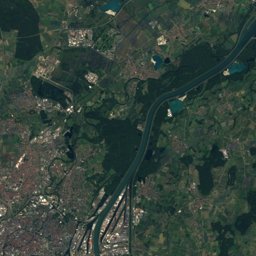
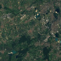
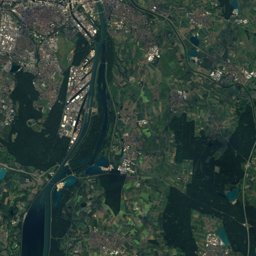
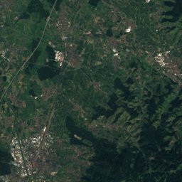
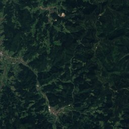
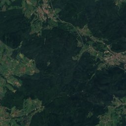
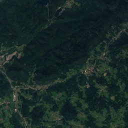
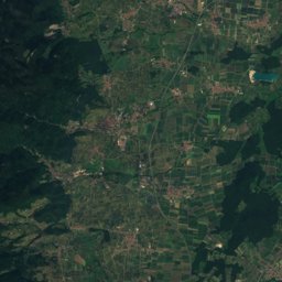
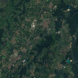
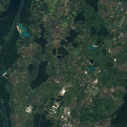
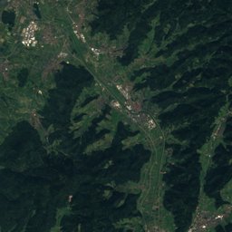
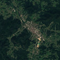
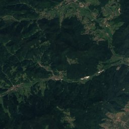
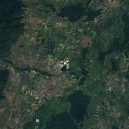
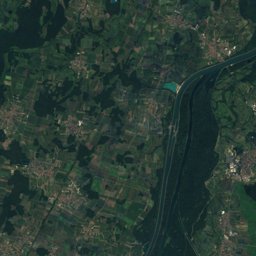
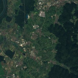
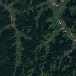
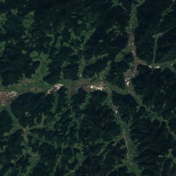
Satellite: Sentinel-2 cloudless 2016 by EOX IT Services GmbH · CC BY 4.0 · Contains modified Copernicus Sentinel data 2016
Outdoor activitiesMolsheim
Outdoors near Molsheim
within 15 km46places
Camp sites23
Viewpoints13
48.54° N, 7.49° EElevation 182 mUTC+1 · Central European Standard Time
When to goMolsheim · weather score
Best timeApr · Jun · Sep
October: high / low16° / 7°
Camp sites
| Name | Nearby | Details |
|---|---|---|
| Le Vallon de l'Ehn | 8.5 km | ★★★ · Website |
| Camping Municipal de Molsheim | 0.6 km | ★★ · Website |
| Camping GCU de Blaesheim | 9 km | ★★ · Website |
| Camping La Forêt | 9.4 km | Website |
| Camping Aire Still | 8.1 km | ★★ |
| Alsace Camping | 8.1 km | Website |
| Le Luttenbach - Oberhaslach | 14.6 km | ★★ |
| Le Parking des Rempartscaravans & motorhomes | 9 km | Website |
| Aire de Domaine Xavier Muller - Marlenheimcaravans & motorhomes | 8.8 km | Website |
| Aire camping-cars Rosheimcaravans & motorhomes | 5 km | Website |
| Place de la Gare 6 Avolsheimcaravans & motorhomes | 2.4 km | Website |
| Aire de Stationement Molsheim (Domaine Kaes)caravans & motorhomes | 0.4 km | Website |
Viewpoints
| Name | Nearby | Details |
|---|---|---|
| Hohenbourg | 12.1 km | 720 m |
| Rocher du Grauschlag | 9.4 km | 453 m |
| Immerschenberg | 7.1 km | 250 m |
| Rocher du Geissfels | 4 km | 240 m |
| Table d'orientation | 9 km | |
| Rocher du Corbeau | 9.5 km | |
| Heidenkopf | 11.9 km | |
| Rocher du Breitberg | 12.1 km | |
| Rocher du Pfaffenlapp | 12.8 km | |
| Rocher du Panorama | 13.9 km | |
| Table d'orientation | 14.1 km | |
| Moenkalb | 14.1 km |
Climbing
| Name | Nearby | Details |
|---|---|---|
| Instant Grimpeclimbing gym | 2.1 km | |
| Petit Kobuscrag | 9.4 km | 43 m |
| Kobuscrag | 9.4 km | 54 m |
| Carrière du Kronthalcrag | 10.1 km | 238 m |
| Carrière de Klingenthal (Rocher d'escalade)crag | 10.4 km | 91 m |
| Rocher du Lioncrag | 10.5 km | 82 m |
Mountain huts
| Name | Nearby | Details |
|---|---|---|
| Cabane des Trois Forestiersunstaffed shelter | 13.9 km | 420 m |
| Abri du Birkenfelsunstaffed shelter | 14.7 km |
Zoos
| Name | Nearby | Details |
|---|---|---|
| Basse Cour du Fort Kléber | 13.8 km | |
| Ancien enclos à cigognes | 11.7 km |
Ski areas
Diving
- Aquadif15.3 km
Places come from an open map made by volunteers: well-known sites are there, small or new ones may be missing. Opening times and prices change, so check before you go.