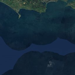

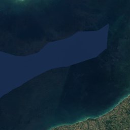
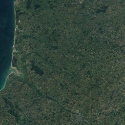
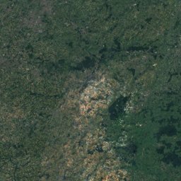
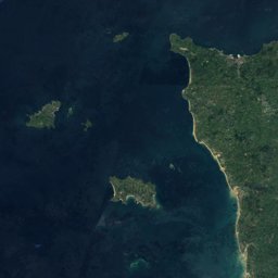
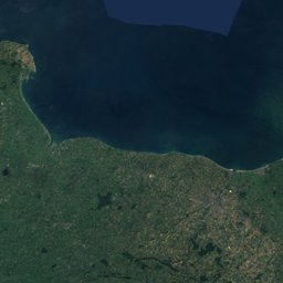
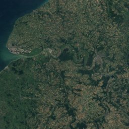
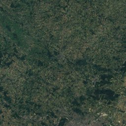
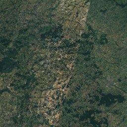
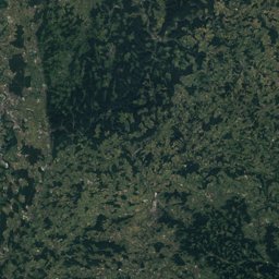
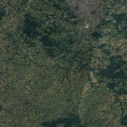
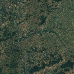
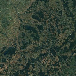
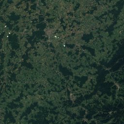
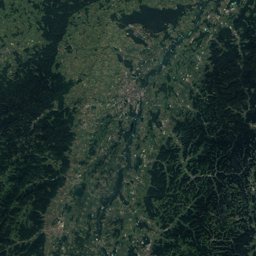
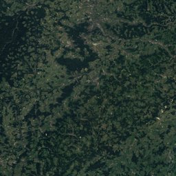
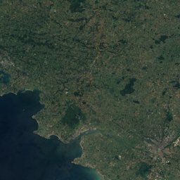
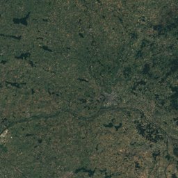
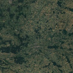
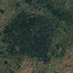
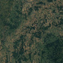
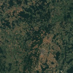
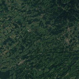
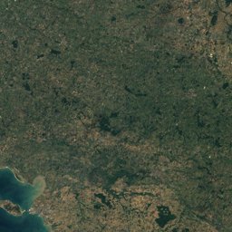
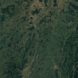
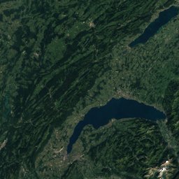
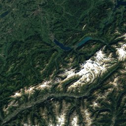
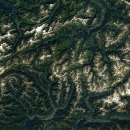

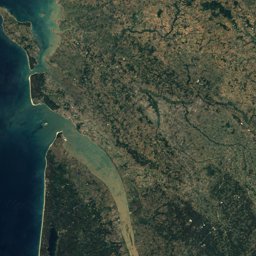
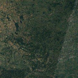
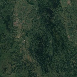
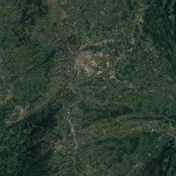
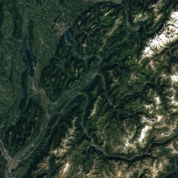
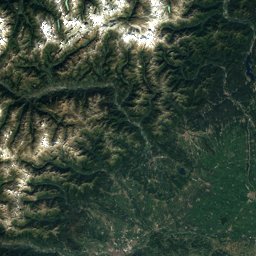
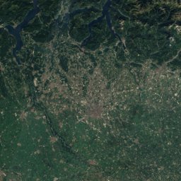
Satellite: Sentinel-2 cloudless 2016 by EOX IT Services GmbH · CC BY 4.0 · Contains modified Copernicus Sentinel data 2016
EarthquakesMesmont, Bourgogne-Franche-Comté
Earthquakes near Mesmont
M5+ · Since 19501≤ 150 km
Last 30 days0≤ 300 km
StrongestM5.11971
47.31° N, 4.74° EElevation 473 mUTC+1 · Central European Standard Time
When to goMesmont · weather score
Best timeJul–Sep
October: high / low15° / 7°
Since 1950, 1 earthquakes of magnitude 5 or more have struck within 150 km of Mesmont; the strongest was M5.1, 21 June 1971. In the last 30 days 0 earthquakes were recorded within 300 km. 29 significant earthquakes on record hit the area.
Last 30 days · ≤ 300 km
None in this period.
M5+ · Since 1950 · ≤ 150 km
| 5.1 | 127 km | 21 June 1971 |
Significant earthquakes on record · ≤ 300 km
| 2006 | 217 km | M3.9 | |
| 2004 | 265 km | M4.8 | |
| 2003 | 178 km | M5 | |
| 1962 | 265 km | M5.3 | |
| 1855 | 265 km | – | 1 deaths |
| 1851 | 272 km | – | |
| 1839 | 188 km | – | |
| 1835 | 242 km | – | |
| 1817 | 222 km | M8 | 4 deaths |
| 1801 | 295 km | – | |
| 1755 | 272 km | – | |
| 1682 | 152 km | – | |
| 1616 | 283 km | – | |
| 1610 | 208 km | – | |
| 1601 | 290 km | M6.2 | 9 deathsTsunami |
| 1584 | 212 km | – | |
| 1584 | 205 km | M5.4 | |
| 1584 | 202 km | M5.9 | 100 deathsTsunami |
| 1574 | 166 km | – | |
| 1454 | 216 km | – | |
| 1454 | 216 km | – | |
| 1391 | 185 km | – | |
| 1375 | 280 km | – | |
| 1356 | 215 km | – | 300 deaths |
| 1346 | 216 km | – | |
| 1289 | 269 km | – | |
| 1286 | 169 km | – | |
| 1021 | 216 km | – | |
| 1003 | 101 km | – |