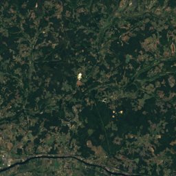
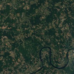
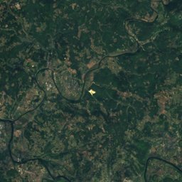
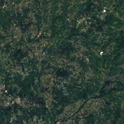
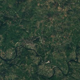
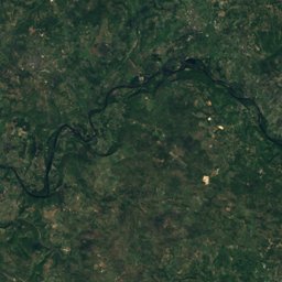
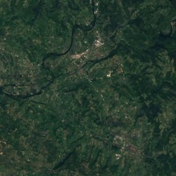
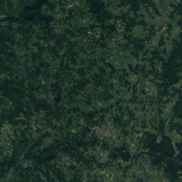
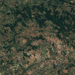
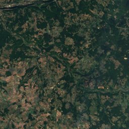
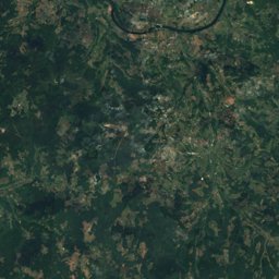
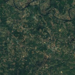
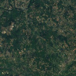
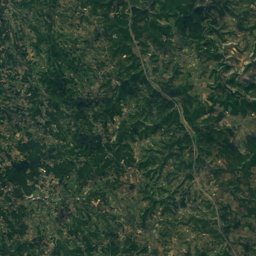
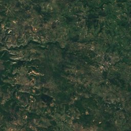
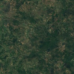
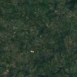
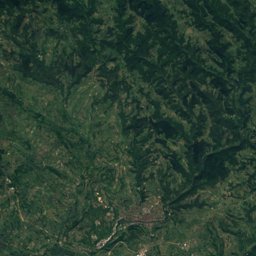
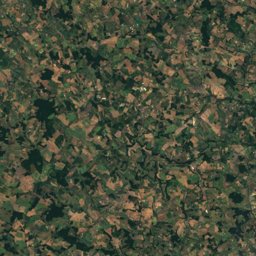
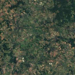
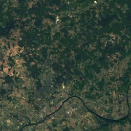
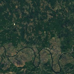
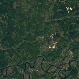
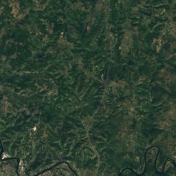
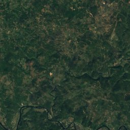
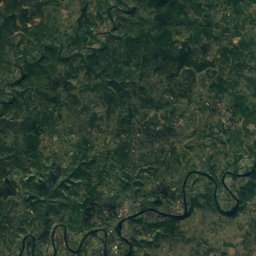
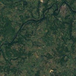
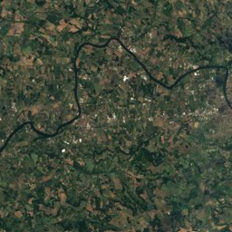
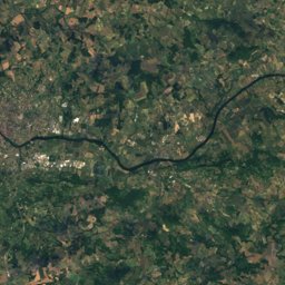
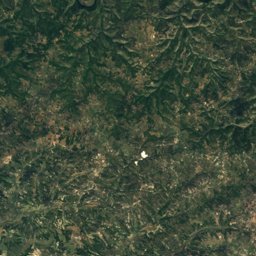
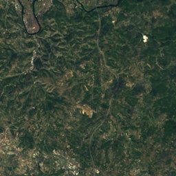
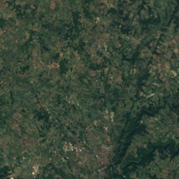
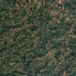
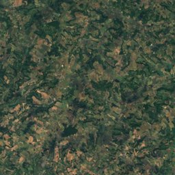
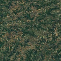
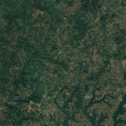
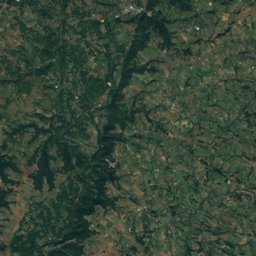
Satellite: Sentinel-2 cloudless 2016 by EOX IT Services GmbH · CC BY 4.0 · Contains modified Copernicus Sentinel data 2016
Outdoor activitiesMaxou
Outdoors near Maxou
within 15 km37places
Camp sites25
Climbing7
44.54° N, 1.44° EElevation 213 mUTC+1 · Central European Standard Time
When to goMaxou · weather score
Best timeApr · Sep–Oct
October: high / low19° / 9°
Camp sites
| Name | Nearby | Details |
|---|---|---|
| Camping Les Reflets du Quercy - Lot | 10.2 km | ★★★★ · Website |
| Camping la Chêneraie | 10.9 km | ★★★★ · Website |
| Camping Quercy Vacances | 1.3 km | ★★★★ · Website |
| Rivière de Cabessut | 8 km | ★★★ · Website |
| Le Moulin du Bel Air | 12.6 km | ★★★ · Website |
| Le Moulin des Donnesbackcountry | 14.4 km | ★★★ · Website |
| Camping GCU de Lamagdelaine | 8.5 km | ★★ · Website |
| Camping municipal de l'Arquette | 10.6 km | Website |
| Camping Les Graves | 1.7 km | Website |
| Les Berges de Caïx | 12.9 km | Website |
| Camping Lagoudalie | 14.9 km | Website |
| Camping de l'Écluse | 9.1 km | Website |
Climbing
| Name | Nearby | Details |
|---|---|---|
| Versclimbing gym | 9.3 km | |
| Cuzoulsclimbing gym | 11.3 km | |
| Saint-Géryclimbing gym | 12.4 km | |
| Casse Noisettecrag | 13.9 km | 13 m |
| Arcambal - Casse noisetteclimbing gym | 13.9 km | |
| Arcambal - La Banquetteclimbing gym | 14.4 km | |
| La Banquettecrag | 14.4 km | 238 m |
Viewpoints
| Name | Nearby | Details |
|---|---|---|
| Base de départ parapentes | 9.9 km | |
| Point de vue du Mont Saint-Cyr sur Cahors | 10.3 km | |
| Croix de Magne | 10.9 km | |
| Igues d'Aujols | 12.3 km | |
| L'Impernal | 13.9 km |
Diving
- Goule de Marcenac17.3 km
- Émergence de la Pescalerie18 km
Places come from an open map made by volunteers: well-known sites are there, small or new ones may be missing. Opening times and prices change, so check before you go.