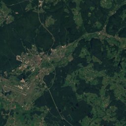
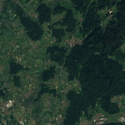
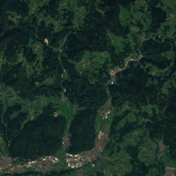
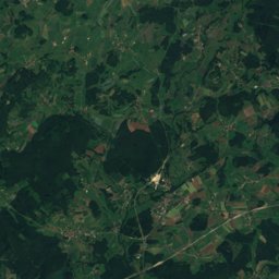
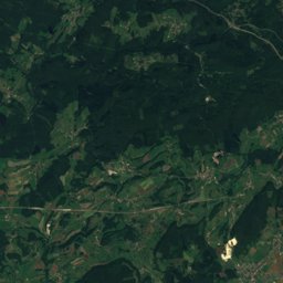
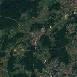
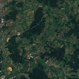
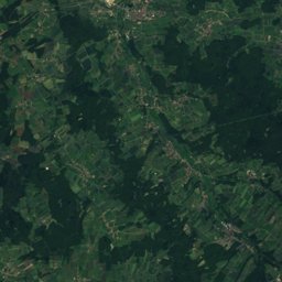
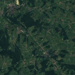
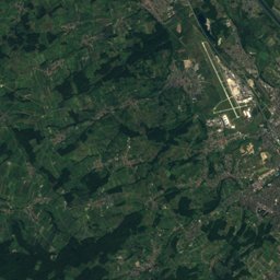
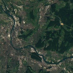
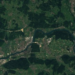
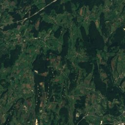
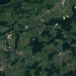
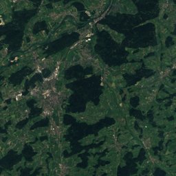
Satellite: Sentinel-2 cloudless 2016 by EOX IT Services GmbH · CC BY 4.0 · Contains modified Copernicus Sentinel data 2016
Outdoor activitiesLucelle
Outdoors near Lucelle
within 15 km39places
Camp sites14
Viewpoints12
47.42° N, 7.25° EElevation 611 mUTC+1 · Central European Standard Time
When to goLucelle · weather score
Best timeJul–Sep
October: high / low14° / 6°
Camp sites
| Name | Nearby | Details |
|---|---|---|
| Les Lupins | 13.8 km | ★★★ · Website |
| Camping des Hêtres | 7.5 km | ★★ |
| Intercommunal Du Plan D'eau De Courtavon | 5.9 km | Website |
| Tariche | 12.7 km | Website |
| La Grande Écluse | 9.9 km | Website |
| Le Chandelier | 8.7 km | Website |
| Moulin des Lavoirscaravans & motorhomes | 10.1 km | Website |
| Aire d'Accueil de Camping-Cars Ferrettecaravans & motorhomes | 8.8 km | Website |
| Camping du Moulin du Doubs | 14.4 km | |
| Camping Pontoye | 13.6 km | |
| CCP Kohler | 11.3 km | |
| Quai de l'Allainecaravans & motorhomes | 13 km |
Viewpoints
| Name | Nearby | Details |
|---|---|---|
| Plateau des Nains | 10.4 km | 606 m |
| Tour panoramique | 3.8 km | |
| Béridier | 8.8 km | |
| Foto-Spot Saint-Ursanne | 9.6 km | |
| Loechlefelsen | 9.7 km | |
| Drapeau Jurassien | 10.4 km | |
| Roc de Courroux | 11.6 km | |
| Fluefels | 11.6 km | |
| Flüematte | 14.2 km | |
| Aire de repos de Porrentruy | 14.3 km | |
| Sur la Falaise | 14.7 km | |
| Löffelberg | 14.8 km |
Climbing
| Name | Nearby | Details |
|---|---|---|
| Lame de la sotcrag | 7.3 km | |
| climbing Soyhièrescrag | 9.4 km | |
| Soyhièrescrag | 9.4 km | 417 m |
| Rämmelsbergcrag | 12.5 km | 164 m |
| Rämelsbergcrag | 12.6 km | |
| Vaferdeau 4c-7acrag | 14.7 km | |
| Rochers du Midicrag | 14.7 km |
Golf courses
| Name | Nearby | Details |
|---|---|---|
| Golf de La Largue | 10.6 km | Website |
| Golf de la Caquerelle | 5.9 km | |
| Practice Golf | 10.4 km |
Mountain huts
| Name | Nearby | Details |
|---|---|---|
| Cabane des Ordonsstaffed | 4.5 km | 917 m |
| La Birgmattstaffed | 6.1 km |
Theme parks
| Name | Nearby | Details |
|---|---|---|
| Didocentre | 9.9 km |
Diving
- Creugenat16.8 km
Hiking routes
Places come from an open map made by volunteers: well-known sites are there, small or new ones may be missing. Opening times and prices change, so check before you go.