


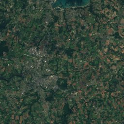
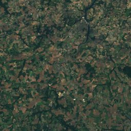
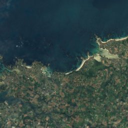
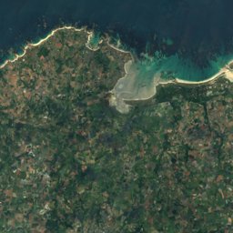
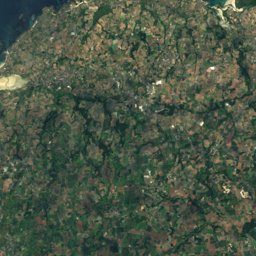
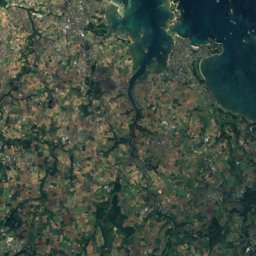
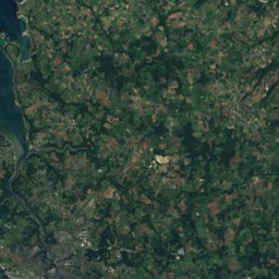
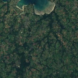
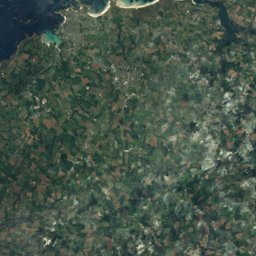
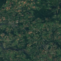
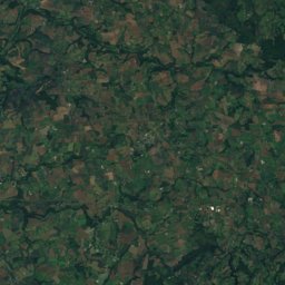
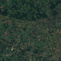
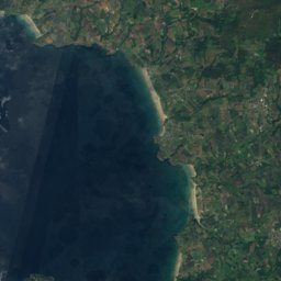
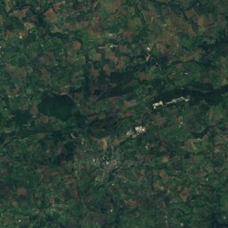
Satellite: Sentinel-2 cloudless 2016 by EOX IT Services GmbH · CC BY 4.0 · Contains modified Copernicus Sentinel data 2016
Outdoor activitiesLa Feuillée
Outdoors near La Feuillée
within 15 km25places
Camp sites14
Viewpoints10
48.39° N, 3.86° WElevation 267 mUTC+2 · Central European Summer Time
When to goLa Feuillée · weather score
Best timeJun–Jul · Sep
October: high / low16° / 8°
Camp sites
| Name | Nearby | Details |
|---|---|---|
| La Rivière d'Argent | 10.7 km | ★★★ · Website |
| Camping des Bruyères | 11.2 km | Website |
| Camping de Tuchennoù | 13.1 km | Website |
| Camping municipal du lac | 8 km | Website |
| Parking Camping Cars Huelgoatcaravans & motorhomes | 8.1 km | Website |
| Aire du Huelgoat - Lac Le Faocaravans & motorhomes | 8.1 km | Website |
| Berrien Aire Communalecaravans & motorhomes | 8.3 km | Website |
| Camping le Drennec | 10.7 km | ★★ |
| Camping de La Feuillée | 0.7 km | |
| Saint Rivoal Aire pour camping-carscaravans & motorhomes | 11.6 km | |
| Guimiliau Aire de Camping-carcaravans & motorhomes | 14.9 km | |
| Camping municipal de Nestavel | 4 km |
Viewpoints
| Name | Nearby | Details |
|---|---|---|
| Col de Trédudon | 3 km | 361 m |
| Le Champignon | 8.3 km | |
| La Roche Tremblante | 8.6 km | |
| Montagne Saint-Michel | 8.1 km | 381 m |
| Roc'h Trevezel 384 m | 4.4 km | |
| Monts d'Arrée | 4 km | |
| Roc'h Ar Bic | 4.4 km | |
| Chaos du Ménage de la Vierge | 8.6 km | |
| Torgenn ar Poulloù Foenn | 13.7 km | |
| Motte féodale | 14 km |
Mountain huts
| Name | Nearby | Details |
|---|---|---|
| Gîte d'étape Communalstaffed | 11.4 km | Website |
Places come from an open map made by volunteers: well-known sites are there, small or new ones may be missing. Opening times and prices change, so check before you go.