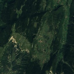
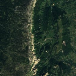
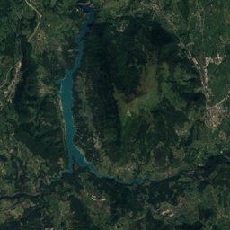
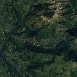
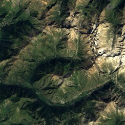
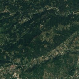
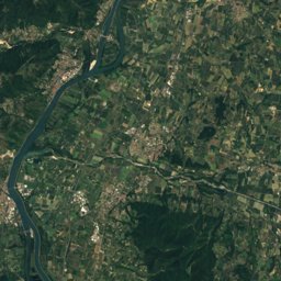
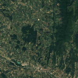
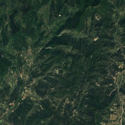
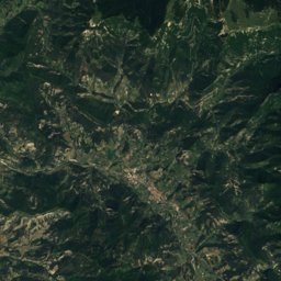
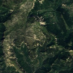
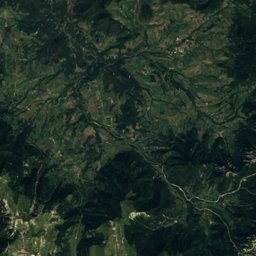
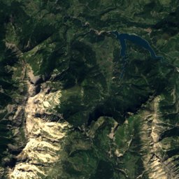
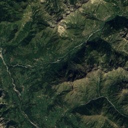
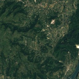
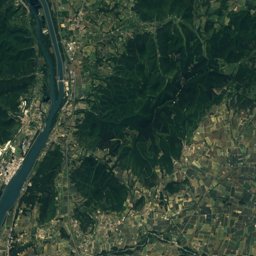
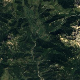
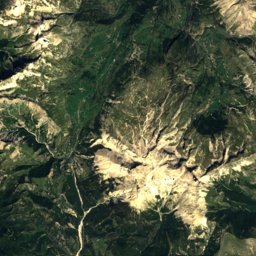
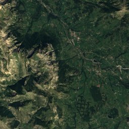
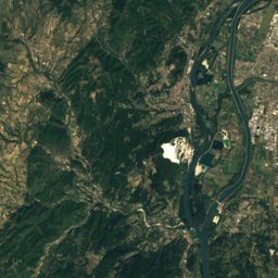
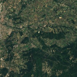
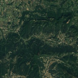
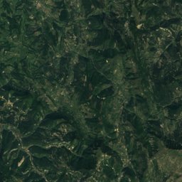
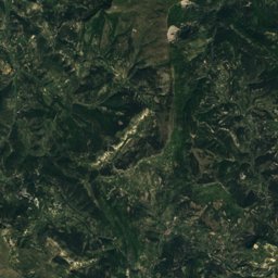
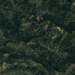
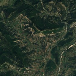
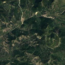
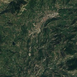
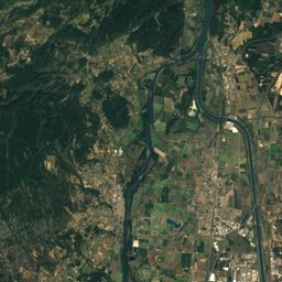
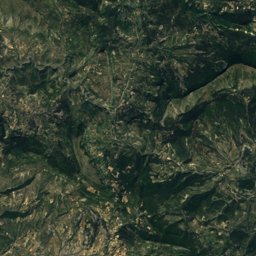
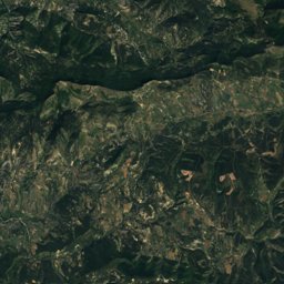
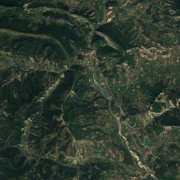
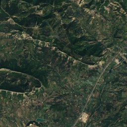
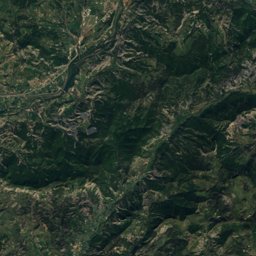
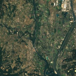
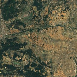
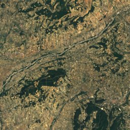
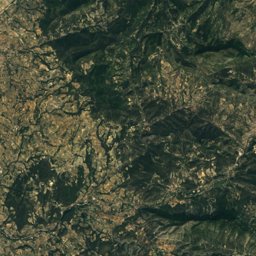
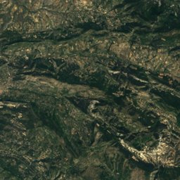
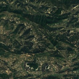
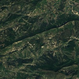
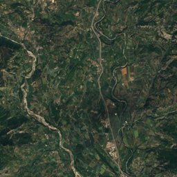
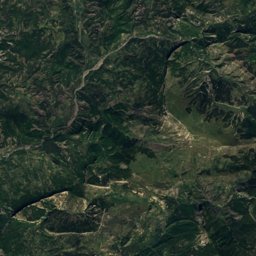
Satellite: Sentinel-2 cloudless 2016 by EOX IT Services GmbH · CC BY 4.0 · Contains modified Copernicus Sentinel data 2016
Outdoor activitiesEstablet
Outdoors near Establet
within 15 km42places
Camp sites26
Climbing13
44.51° N, 5.44° EElevation 769 mUTC+1 · Central European Standard Time
When to goEstablet · weather score
Best timeJun · Aug–Sep
October: high / low17° / 6°
Camp sites
| Name | Nearby | Details |
|---|---|---|
| Camping des Rosières | 13.9 km | ★★★ · Website |
| La Ferme de Clareau | 4.4 km | Website |
| L'ondine de provence | 6.3 km | Website |
| Les Foulons | 12.2 km | Website |
| Le village | 5.3 km | Website |
| Camping municipal de Saint-Nazaire-le-Désert | 14.6 km | Website |
| Le Présent Simple | 6.4 km | Website |
| Camping La Ferme du Villard | 13.5 km | Website |
| Camping municipal les Aires | 12.5 km | Website |
| Camping municipal Saint-Martin | 7.3 km | Website |
| Camping municipal le Moulin | 11.6 km | Website |
| Camping Les Thibauds | 15 km | Website |
Camp sites in Auvergne-Rhône-Alpes
Climbing
| Name | Nearby | Details |
|---|---|---|
| Via Ferrata Pas de L'Échelle: La Tête de Chienvia ferrata | 6.9 km | 4 · 101 m |
| Via Ferrata Pas de L'Échelle: L'Écaillevia ferrata | 7 km | 4 · 119 m |
| Via Ferrata Pas de L'Échelle: La Traversée du Cielvia ferrata | 7.1 km | 4 · 121 m |
| Via Ferrata Pas de L'Échelle: Échappatoirevia ferrata | 7.1 km | 2 · 25 m |
| Via Ferrata Pas de L'Échelle: Le Dérochoirvia ferrata | 7.3 km | 4 · 17 m |
| Via Ferrata Pas de L'Échelle: Échelle 2via ferrata | 7.3 km | 3 · 4 m |
| Via Ferrata Pas de L'Échellevia ferrata | 7.3 km | 3 · 10 m |
| Via Ferrata Pas de L'Échelle: Petite Échellevia ferrata | 7.3 km | 3 · 3 m |
| Via Ferrata du Claps: Mur de 35mvia ferrata | 10.7 km | 3 · 17 m |
| Via Ferrata du Claps: La Vire du Pinvia ferrata | 10.7 km | 3 · 88 m |
| Via Ferrata du Claps: La Vire du Tunnelvia ferrata | 10.8 km | 3 · 105 m |
| Via Ferrata du Claps: Les Dalles Grisesvia ferrata | 10.8 km | 3 · 231 m |
Climbing in Auvergne-Rhône-Alpes
Viewpoints
| Name | Nearby | Details |
|---|---|---|
| Pas de la Pousterle | 9.2 km | |
| Observatoire des vautours | 11.9 km | |
| Rocher du Caire | 12.2 km |
Viewpoints in Auvergne-Rhône-Alpes
Places come from an open map made by volunteers: well-known sites are there, small or new ones may be missing. Opening times and prices change, so check before you go.