








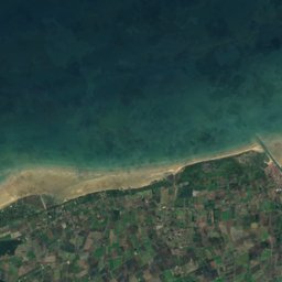
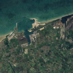
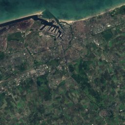




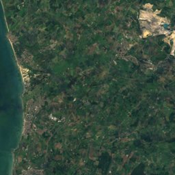

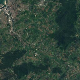
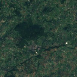
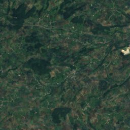
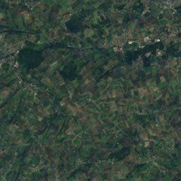
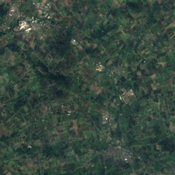
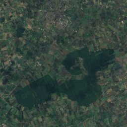
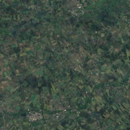

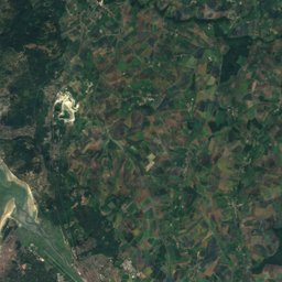
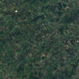
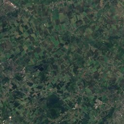
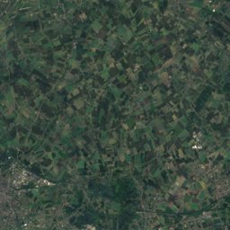
Satellite: Sentinel-2 cloudless 2016 by EOX IT Services GmbH · CC BY 4.0 · Contains modified Copernicus Sentinel data 2016
Outdoor activitiesÉperlecques
Outdoors near Éperlecques
within 15 km56places
Camp sites49
Viewpoints4
50.81° N, 2.15° EElevation 16 mUTC+1 · Central European Standard Time
When to goÉperlecques · weather score
Best timeMay–Jun · Sep
October: high / low16° / 8°
Camp sites
| Name | Nearby | Details |
|---|---|---|
| Château du Gandspette | 2.3 km | ★★★★ · Website |
| Camping Municipal Beauséjour | 12.6 km | ★★★★ · Website |
| Camping Pommiers des Trois Pays **** | 14.5 km | ★★★★ · Website |
| Camping Bal | 6.7 km | ★★★ · Website |
| Camping des Pyramides | 9.7 km | ★★★ · Website |
| Camping La Chaumière | 13.2 km | ★★★ · Website |
| Camping Saint-Louis | 12.9 km | ★★★ · Website |
| Camping de l'Hermitage | 13.5 km | ★★★ · Website |
| Camping Les Etangs du Plateau des Landes | 14 km | ★★ · Website |
| Caravaning Canotage La Frégate | 14 km | ★★★ · Website |
| Camping Les Charmilles | 3.3 km | ★★ · Website |
| Domaine La Grise Pierre | 7.4 km | ★★ · Website |
Viewpoints
| Name | Nearby | Details |
|---|---|---|
| Site de la Montagne de Watten | 5.3 km | |
| Belvédère du Tir à l'Arc | 5.3 km | |
| La Montagne de Saint-Momelin | 7.4 km | |
| table d'orientation | 11.9 km |
Theme parks
Golf courses
| Name | Nearby | Details |
|---|---|---|
| Golf de Saint-Omer | 11.6 km |
Places come from an open map made by volunteers: well-known sites are there, small or new ones may be missing. Opening times and prices change, so check before you go.