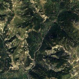
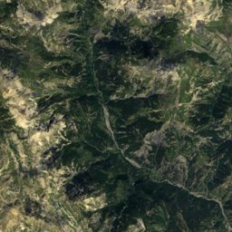
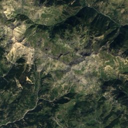
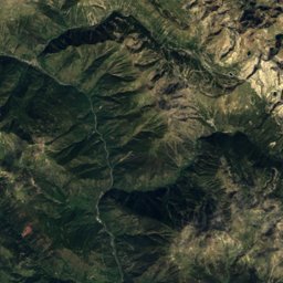
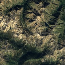
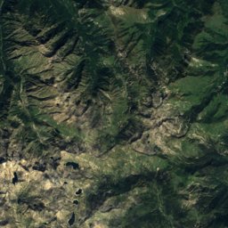
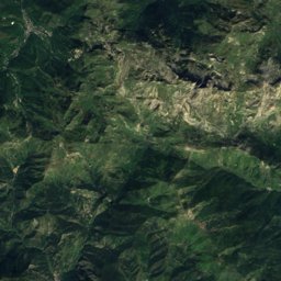
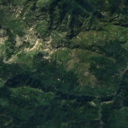
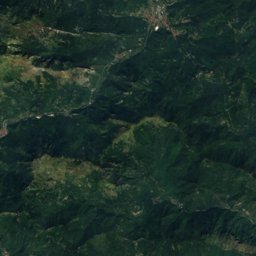
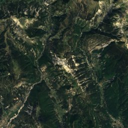
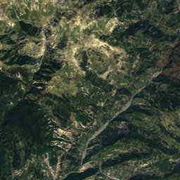
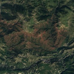
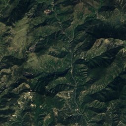
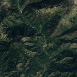
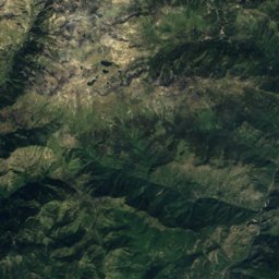
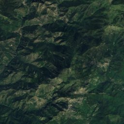
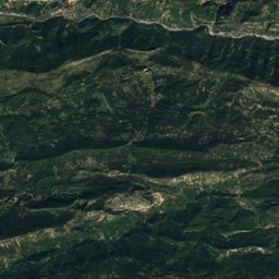
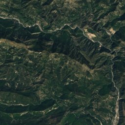
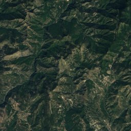
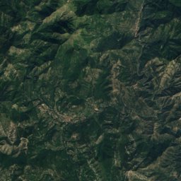
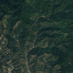
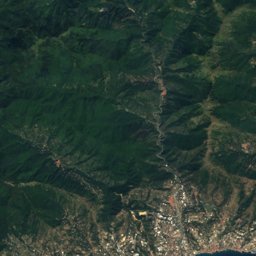
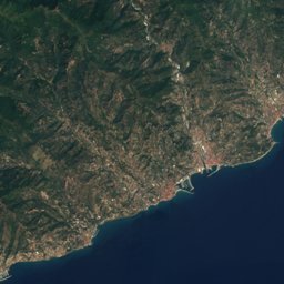
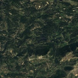
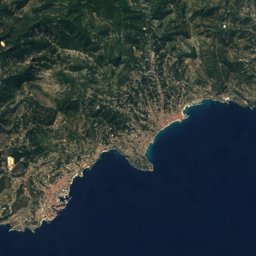
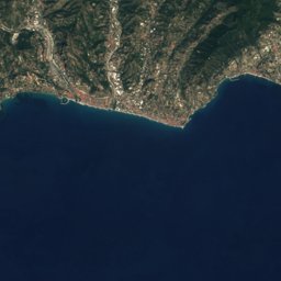

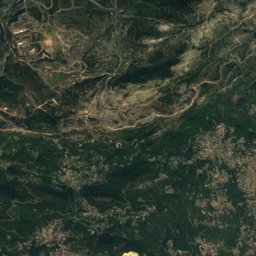
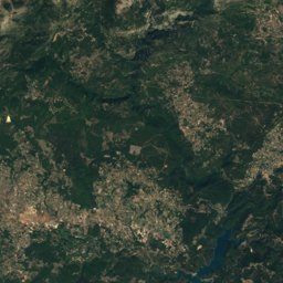
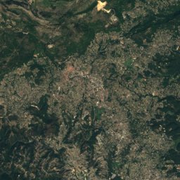
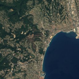
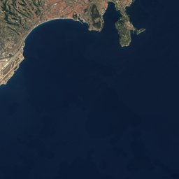




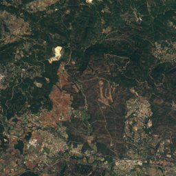
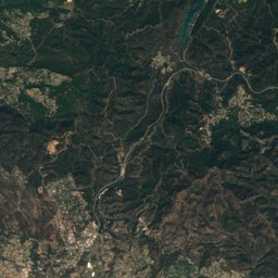
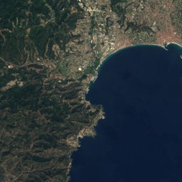
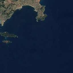





Satellite: Sentinel-2 cloudless 2016 by EOX IT Services GmbH · CC BY 4.0 · Contains modified Copernicus Sentinel data 2016
Outdoor activitiesDrap
Outdoors near Drap
within 15 km87places
Climbing32
Viewpoints29
43.76° N, 7.32° EElevation 100 mUTC+2 · Central European Summer Time
When to goDrap · weather score
Best timeJun · Sep–Oct
October: high / low21° / 13°
Climbing
| Name | Nearby | Details |
|---|---|---|
| Art Blocclimbing gym | 11.4 km | Website |
| Arkose Niceclimbing gym | 11.6 km | Website |
| La Trinitécrag | 1.7 km | |
| Chez Pierrotcrag | 6.2 km | |
| La Grottecrag | 6.4 km | 72 m |
| Baus Rouxcrag | 6.5 km | |
| Chez Petit Bernardcrag | 6.5 km | 17 m |
| Paul Arènecrag | 6.5 km | 75 m |
| La roche à rochecrag | 6.6 km | |
| La Loubièrecrag | 6.6 km | |
| Les Surplombscrag | 6.7 km | |
| La dalle à l'oiseaucrag | 6.8 km |
Climbing in Provence-Alpes-Côte d'Azur
Viewpoints
| Name | Nearby | Details |
|---|---|---|
| Mont Bastide | 3.6 km | 568 m |
| Raubà capeu | 7.6 km | |
| Pointe Siricocca | 13 km | 1,053 m |
| Col de Verroux | 13.2 km | 935 m |
| Mont Chauve d'Aspremont | 5.7 km | 850 m |
| Panorama Baie des Anges de la Tour Bellanda | 7.6 km | |
| Place Bellevue Viewpoint | 3.4 km | |
| Chemin du Col de Caire | 5.1 km | |
| Bd de la Corne d'Or | 5.1 km | |
| Quai de l'Amiral Ponchardier | 5.7 km | |
| Nuit à la turbie | 6.6 km | |
| Route Forestière du Mont Boron | 6.8 km |
Viewpoints in Provence-Alpes-Côte d'Azur
Camp sites
| Name | Nearby | Details |
|---|---|---|
| Camping Green Park | 15 km | ★★★★ · Website |
| La Ferme Riola | 7.1 km | ★★★ · Website |
| Camping Saint-Michel - Côte d'Azur | 14.4 km | ★★★ · Website |
| Al Boucle d'or | 13.7 km | ★★ · Website |
| Aire de camping-car de Saint-Laurent-du-Varcaravans & motorhomes | 12.3 km | Website |
| La Giandola | 10.4 km | Website |
| Camping de la Laune | 4.6 km | Website |
| Camping Ararates | 7.3 km | Website |
| Domaine des Hautes Collines de la Côte d'Azur | 12.8 km | Website |
| Les Cent Chênes | 13.1 km | Website |
| Centre EEDF Les Restanques | 5.8 km | |
| Wild campbackcountry | 6.5 km |
Camp sites in Provence-Alpes-Côte d'Azur
Zoos
Zoos in Provence-Alpes-Côte d'Azur
Golf courses
| Name | Nearby | Details |
|---|---|---|
| Monte-Carlo Golf Club | 7.2 km | |
| Golf Country Club de Nice | 11.1 km | |
| Golf Club de Menton | 12.7 km |
Golf courses in Provence-Alpes-Côte d'Azur
Surf spots
| Name | Nearby | Details |
|---|---|---|
| Quai 34surf | 7.1 km | Website |
| Spot de Kitesurf de Saint-Laurent Du Varkitesurf | 14.9 km |
Waves, next days
| Sat 24 | Sun 25 | Mon 26 | Tue 27 | Wed 28 | |
|---|---|---|---|---|---|
| Quai 34, Spot de Kitesurf de Saint-Laurent Du Var | 4.5 m13 s · north-west | 4.2 m13 s · west | 2.9 m11 s · west | 2.3 m9 s · east | 2.5 m9 s · west |
Highest wave of each day in open water near the spot (significant height and period), from a global wave model; the break itself can differ.
Mountain huts
| Name | Nearby | Details |
|---|---|---|
| Cabane des Grausunstaffed shelter | 5.1 km |
Hot springs & thermal baths
| Name | Nearby | Details |
|---|---|---|
| Thermes Marins Monte-Carlothermal baths | 8.7 km | Website |
Theme parks
| Name | Nearby | Details |
|---|---|---|
| Koaland | 13.6 km | Website |
Diving
- Aqua Pro Dive International5.7 km
- Sub-Marine6.5 km
- Nice Diving7.1 km
- PLANET PLONGEE7.1 km
Places come from an open map made by volunteers: well-known sites are there, small or new ones may be missing. Opening times and prices change, so check before you go.