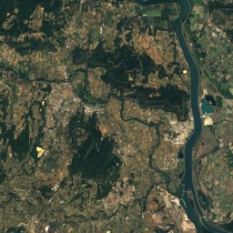
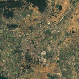
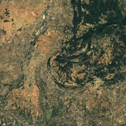
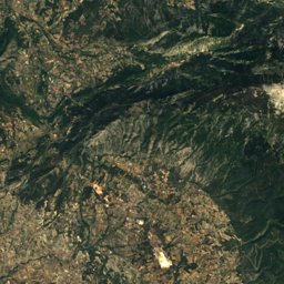
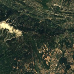
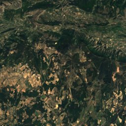
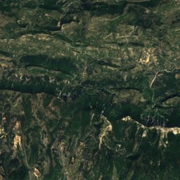
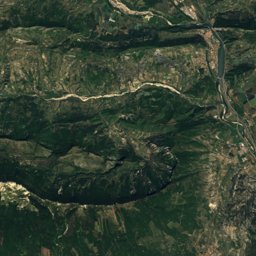
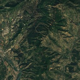
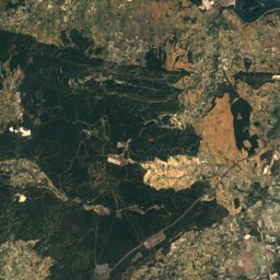
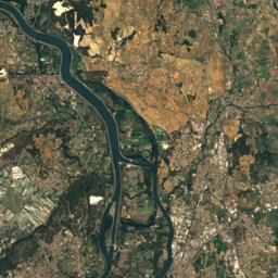
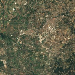
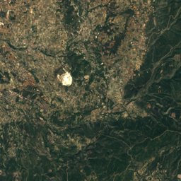
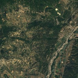
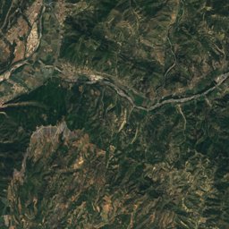
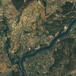
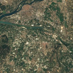
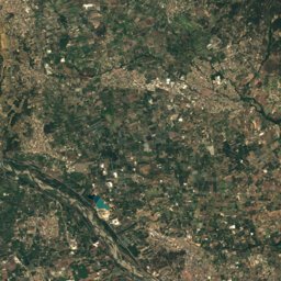
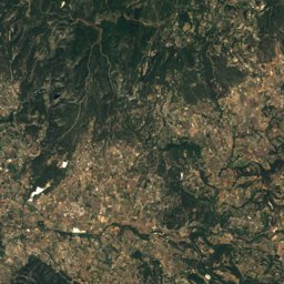
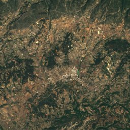
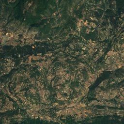
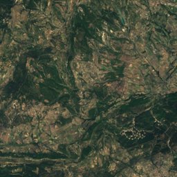
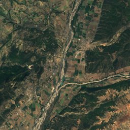
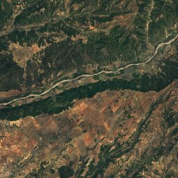
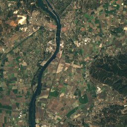
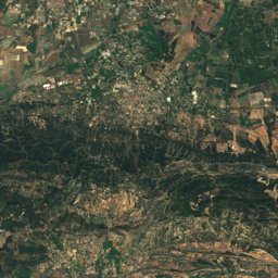
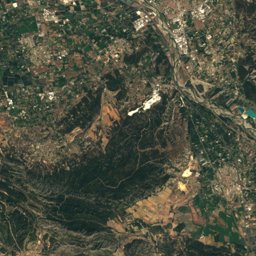
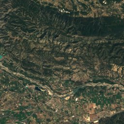
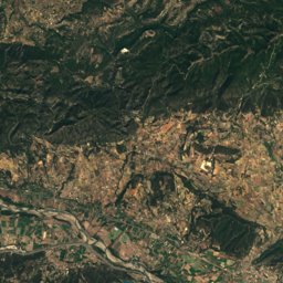
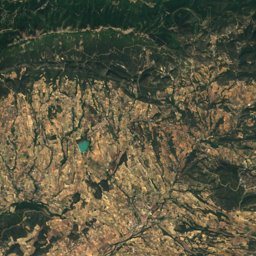
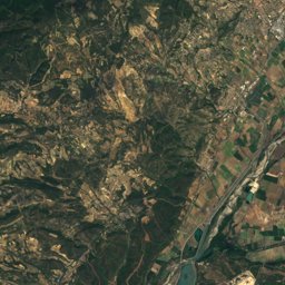
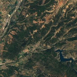
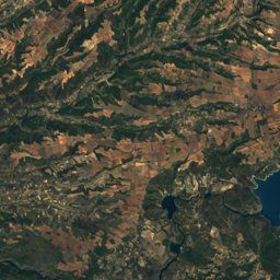
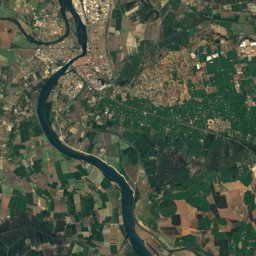
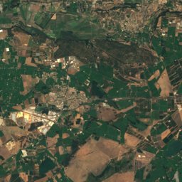
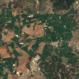
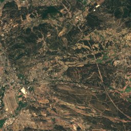
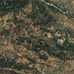
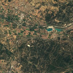
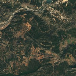
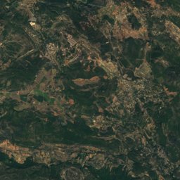
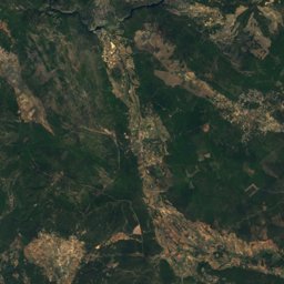
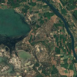
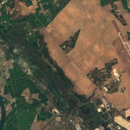
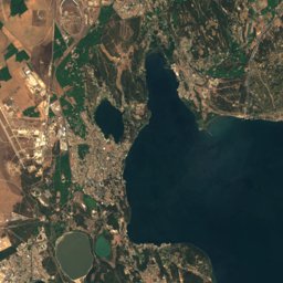
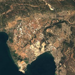
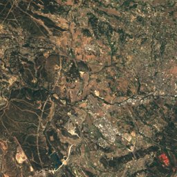
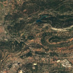
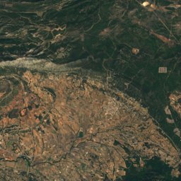
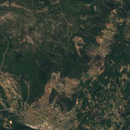
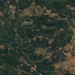
Satellite: Sentinel-2 cloudless 2016 by EOX IT Services GmbH · CC BY 4.0 · Contains modified Copernicus Sentinel data 2016
Outdoor activitiesCucuron
Outdoors near Cucuron
within 15 km39places
Camp sites22
Viewpoints8
43.77° N, 5.44° EElevation 354 mUTC+2 · Central European Summer Time
When to goCucuron · weather score
Best timeApr · Sep–Oct
October: high / low20° / 9°
Camp sites
| Name | Nearby | Details |
|---|---|---|
| Camping le Luberon | 10.5 km | ★★★★ · Website |
| Camping Les Hautes Prairies | 5.2 km | ★★★★ · Website |
| Messidor | 14.4 km | ★★★ · Website |
| Le Moulin à Vent | 2 km | ★★ · Website |
| Camping Lubea | 13.7 km | ★★ · Website |
| Les Pinèdes du Luberon | 11.6 km | Website |
| Lou Badareu | 1 km | ★★ · Website |
| Camping de L'Étang de La Bonde | 5.3 km | Website |
| Le Vallon | 11.4 km | Website |
| Les Bardons | 8 km | Website |
| L'Air du Temps | 5.8 km | Website |
| Les Chaines Verts | 5.3 km | ★★ |
Camp sites in Provence-Alpes-Côte d'Azur
Viewpoints
| Name | Nearby | Details |
|---|---|---|
| Lavender fields | 14.9 km | |
| Rocher de l’aigle | 9.1 km | |
| Col du pointu | 9.8 km | |
| La tour Philippe | 11.9 km | |
| Peyrafio | 12.5 km | |
| Mur a escalader sur 3m | 12.8 km | |
| Table d'orientation | 13.9 km | |
| Le Val de Durance | 14 km |
Viewpoints in Provence-Alpes-Côte d'Azur
Climbing
Climbing in Provence-Alpes-Côte d'Azur
Mountain huts
| Name | Nearby | Details |
|---|---|---|
| Jasse du Gros Colletunstaffed shelter | 7.6 km | 1,030 m |
| grotunstaffed shelter | 11.2 km |
Theme parks
| Name | Nearby | Details |
|---|---|---|
| Dinopedia Parc Provence | 13.3 km | Website |
Places come from an open map made by volunteers: well-known sites are there, small or new ones may be missing. Opening times and prices change, so check before you go.