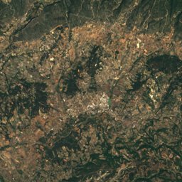
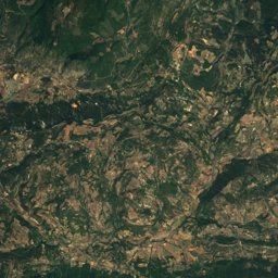
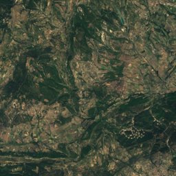
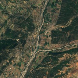
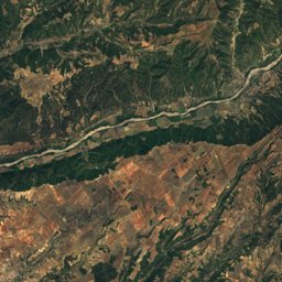
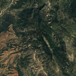
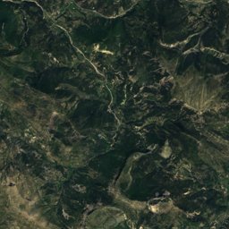
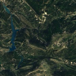
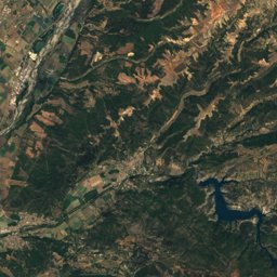
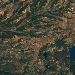
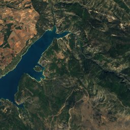
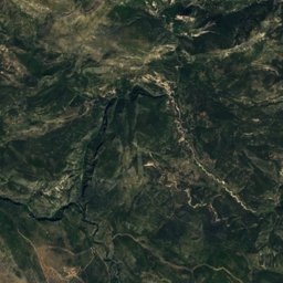
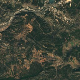
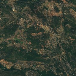
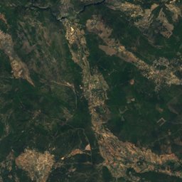
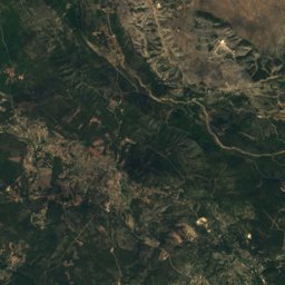
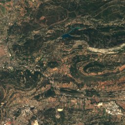
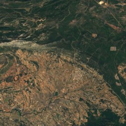
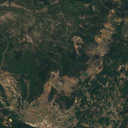
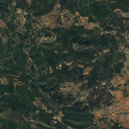
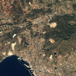
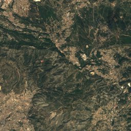
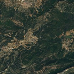
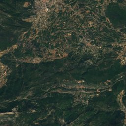
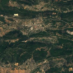
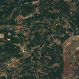
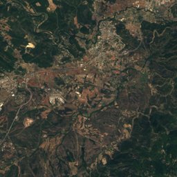
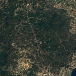
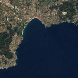
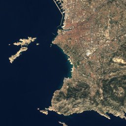
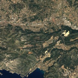
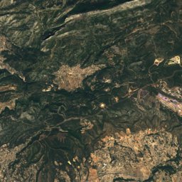
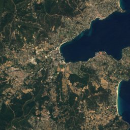
Satellite: Sentinel-2 cloudless 2016 by EOX IT Services GmbH · CC BY 4.0 · Contains modified Copernicus Sentinel data 2016
Outdoor activitiesCotignac
Outdoors near Cotignac
within 15 km37places
Camp sites18
Viewpoints11
43.53° N, 6.15° EElevation 250 mUTC+2 · Central European Summer Time
When to goCotignac · weather score
Best timeMar–Apr · Oct
October: high / low21° / 9°
Camp sites
| Name | Nearby | Details |
|---|---|---|
| Les Lacs du Verdon | 14.6 km | ★★★★ · Website |
| Camping International | 11.8 km | ★★★★ · Website |
| Camping L'Emeraude du Verdon (anciennement Saint-Lazare) | 12.9 km | ★★★ · Website |
| L'Oasis du Verdon | 12.4 km | ★★★ · Website |
| Ancien camping Les Arnauds | 7.4 km | ★★★★ |
| Camping Club Les Cadenières | 11.4 km | Website |
| Le Relais de la Bresque | 5.9 km | Website |
| Camping Le Grand Jardin | 7.5 km | Website |
| Aire Cabasse, L'Abbayecaravans & motorhomes | 12.3 km | Website |
| Camping-Car Park Le Valcaravans & motorhomes | 11.5 km | Website |
| Aire CAMPING-CAR PARK du Thoronet, L'Abbayecaravans & motorhomes | 14.9 km | Website |
| Les Pouverels | 0.9 km | Website |
Camp sites in Provence-Alpes-Côte d'Azur
Viewpoints
| Name | Nearby | Details |
|---|---|---|
| Saint-Barthélémy | 8.9 km | |
| Chapelle St-Laurent | 4.7 km | 449 m |
| Roque Bérard | 4.5 km | |
| Cascade | 4.7 km | |
| Belvédère de la Cascade | 4.8 km | |
| Gros Bessillon | 5.6 km | |
| Table Orientation Sud | 8.5 km | |
| Table Orientation Nord | 8.5 km | |
| Panorama Villecroze | 11.8 km | |
| Les Trois Croix | 12.4 km | |
| Croix de Bellevue | 14.4 km |
Viewpoints in Provence-Alpes-Côte d'Azur
Climbing
| Name | Nearby | Details |
|---|---|---|
| La Roquetteclimbing gym | 7.3 km | |
| Site d'Escalade du Vallon Sourncrag | 8.3 km | |
| L'Haciendacrag | 8.4 km | |
| La Grande Fassecrag | 9.2 km | |
| Falaise de Brauchclimbing gym | 9.2 km | |
| Site d'escalade Vallon Sourn et Val Obscurclimbing gym | 9.4 km | |
| 1er Ressautcrag | 12.8 km |
Climbing in Provence-Alpes-Côte d'Azur
Golf courses
| Name | Nearby | Details |
|---|---|---|
| Golf de Barbaroux | 13.7 km |
Places come from an open map made by volunteers: well-known sites are there, small or new ones may be missing. Opening times and prices change, so check before you go.