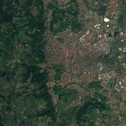
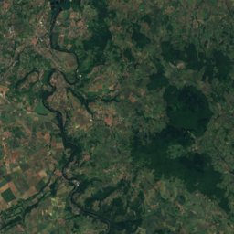
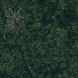
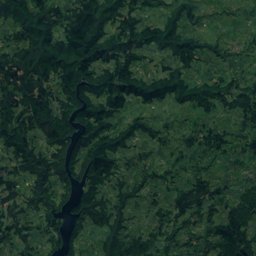
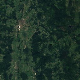
Satellite: Sentinel-2 cloudless 2016 by EOX IT Services GmbH · CC BY 4.0 · Contains modified Copernicus Sentinel data 2016
Outdoor activitiesCorent
Outdoors near Corent
within 15 km39places
Camp sites18
Viewpoints13
45.67° N, 3.19° EElevation 499 mUTC+1 · Central European Standard Time
When to goCorent · weather score
Best timeJun · Aug–Sep
October: high / low17° / 7°
Camp sites
| Name | Nearby | Details |
|---|---|---|
| Camping Municipal du Mas | 14.4 km | ★★★ · Website |
| Camping Le Chanset | 13 km | ★★★ · Website |
| La Serre de Portelas | 10.6 km | ★ · Website |
| Camping des Grottes | 13.6 km | ★★ · Website |
| Camping municipal Le Pré des Laveuses | 8.6 km | ★★★ |
| Huttopia Royat | 15 km | Website |
| Les Ombrages | 12.7 km | Website |
| Camping Le Pré | 12 km | Website |
| Camping Le Clos Auroy | 4.2 km | Website |
| Camping la Font de Bleix | 1.6 km | Website |
| Aire municipale Pérignat-lès-Sarlièvecaravans & motorhomes | 8.9 km | Website |
| Aire de camping-cars Montpeyrouxcaravans & motorhomes | 4.7 km | Website |
Camp sites in Auvergne-Rhône-Alpes
Viewpoints
| Name | Nearby | Details |
|---|---|---|
| Plateau de Gergovie | 8 km | 732 m |
| Vue de la Vallée de la Monne | 7.1 km | |
| Vue de la Vallée de la Monne 2 | 7.2 km | |
| Le Cornonet | 7.6 km | |
| Lassias | 8 km | |
| Table d'orientation | 8.6 km | |
| Montagne de la Serre | 8.6 km | |
| Table orientation | 9.9 km | |
| Vue Panoramique du Plateau de Notre-Dame de Roche | 9.9 km | |
| Puy Giroux | 10.1 km | |
| Table d'orientation | 10.1 km | |
| Table d'orientation nord | 13.8 km |
Viewpoints in Auvergne-Rhône-Alpes
Climbing
| Name | Nearby | Details |
|---|---|---|
| B'Upclimbing gym | 14.4 km | |
| La Roche de Gourniercrag | 4 km | |
| Les Rochettes (Montpeyroux)crag | 5.4 km | |
| Ceyratcrag | 12.2 km | |
| salle d'escalade club alpin Issoireclimbing gym | 13.6 km | |
| Champeauxcrag | 14 km |
Climbing in Auvergne-Rhône-Alpes
Golf courses
| Name | Nearby | Details |
|---|---|---|
| Golf du Domaine du Val d'Auzon | 4.6 km |
Theme parks
| Name | Nearby | Details |
|---|---|---|
| Anatolia Parc | 5 km | Website |
Ski areas
Places come from an open map made by volunteers: well-known sites are there, small or new ones may be missing. Opening times and prices change, so check before you go.