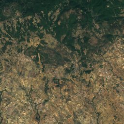
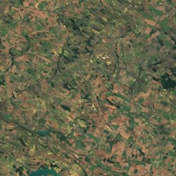
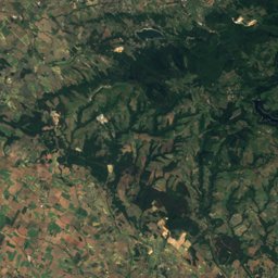
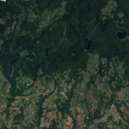
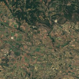
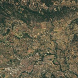
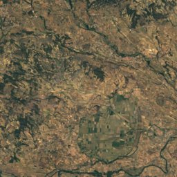
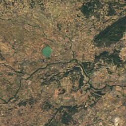
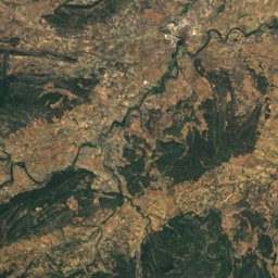
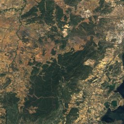
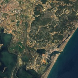
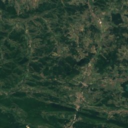
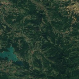
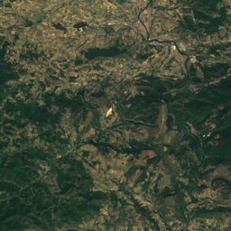
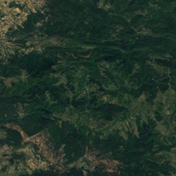


Satellite: Sentinel-2 cloudless 2016 by EOX IT Services GmbH · CC BY 4.0 · Contains modified Copernicus Sentinel data 2016
Outdoor activitiesComigne
Outdoors near Comigne
within 15 km28places
Camp sites21
Viewpoints7
43.17° N, 2.58° EElevation 135 mUTC+2 · Central European Summer Time
When to goComigne · weather score
Best timeMay–Jun · Sep
October: high / low20° / 11°
Camp sites
| Name | Nearby | Details |
|---|---|---|
| La Commanderie | 10.4 km | ★★★ · Website |
| Camping le Pinada | 14 km | ★★★ · Website |
| Camping Boucocers | 8.8 km | ★★ · Website |
| La pinéde | 14.3 km | ★★ |
| Camping municipal | 11.9 km | ★★ |
| Aire Fabrezan, la porte des Corbièrescaravans & motorhomes | 10.5 km | Website |
| Las Clauzes | 5.3 km | Website |
| Lagrasse Aire Camping Carscaravans & motorhomes | 9.1 km | Website |
| Domaine des pèrescaravans & motorhomes | 11.7 km | Website |
| Aire Camping-car Douzenscaravans & motorhomes | 1.8 km | Website |
| Parking du magazin le Terroir - Capenducaravans & motorhomes | 3.3 km | Website |
| Aire Château l'Amiralcaravans & motorhomes | 7.9 km | Website |
Viewpoints
| Name | Nearby | Details |
|---|---|---|
| Roc Gris | 4.4 km | 418 m |
| Esquino dal Ase | 12 km | 188 m |
| Moural de Tourouzelle | 7.9 km | 161 m |
| Vento-Farino | 12.6 km | 142 m |
| Roc dal Mignounet | 10.4 km | |
| Château de Villerouge | 14.5 km | |
| Table d'orientation | 14.8 km |
Places come from an open map made by volunteers: well-known sites are there, small or new ones may be missing. Opening times and prices change, so check before you go.