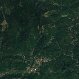
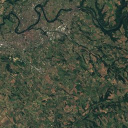
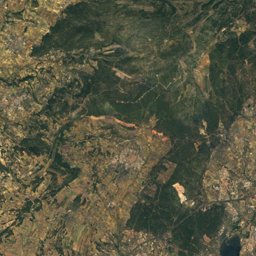
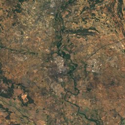
Satellite: Sentinel-2 cloudless 2016 by EOX IT Services GmbH · CC BY 4.0 · Contains modified Copernicus Sentinel data 2016
Outdoor activitiesCombes
Outdoors near Combes
within 15 km78places
Climbing45
Camp sites13
43.60° N, 3.05° EElevation 518 mUTC+1 · Central European Standard Time
When to goCombes · weather score
Best timeJun–Jul · Sep
October: high / low18° / 9°
Climbing
| Name | Nearby | Details |
|---|---|---|
| Via Ferrata les Balcons de l'Orbvia ferrata | 11.5 km | 4 · 20 m · Website |
| Falaise du Landeyranclimbing gym | 13.4 km | |
| Suquetcrag | 1.7 km | |
| Pilier du Bosccrag | 1.7 km | |
| Saucanicrag | 2.4 km | |
| Mur de Jadecrag | 2.7 km | |
| Eperon de Lafagecrag | 3 km | |
| Les Estretscrag | 3 km | |
| Site Ecoled'Escalade la Fage Caroux-Espinousecrag | 3.1 km | |
| Les Seilholscrag | 3.2 km | |
| Site écolecrag | 3.3 km | |
| Grande Chandellecrag | 3.3 km |
Camp sites
| Name | Nearby | Details |
|---|---|---|
| L'Oliveraie | 13.5 km | ★★★★ · Website |
| Le Clocher de Neyran | 6.8 km | ★★ · Website |
| Camping Municipal Le Claps | 7.4 km | Website |
| Domaine de Gatinié | 3.5 km | Website |
| Camping La Sieste | 12.8 km | Website |
| Camping du Caroux | 7.6 km | Website |
| Aire CAMPING-CAR PARK de Lamalou-les-Bainscaravans & motorhomes | 4 km | Website |
| Aire Camping-Car Park Olarguescaravans & motorhomes | 11.5 km | Website |
| Camping CAMPOTEL "Le Nice" | 11.8 km | Website |
| Le Baous | 11.9 km | |
| Camping municipal | 9.2 km | |
| Aire de Camping-Car Municipale Bédarieuxcaravans & motorhomes | 8.6 km |
Viewpoints
| Name | Nearby | Details |
|---|---|---|
| Ruines de l'ancienne abbaye Saint-Pierre de Nayran | 6.3 km | |
| Tour du Pin | 7.3 km | 666 m |
| Pic de Tantajo | 9.6 km | 517 m |
| Wooden shelter | 12.7 km | |
| Montagne de Conil | 1.6 km | |
| Table d’orientation du Caroux | 5.6 km | |
| Ruines de Nayran | 6.4 km | |
| Bau Filliti | 8.2 km | |
| Point Sublime | 8.4 km | |
| Croix de Marcou | 11 km | |
| Tour de Roquebrun | 11.4 km |
Mountain huts
| Name | Nearby | Details |
|---|---|---|
| Gîte d’étape des Bourdilsstaffed | 11.8 km | 1,050 m · Website |
| Gîte d'étape de La Fagestaffed | 3.2 km | Website |
| Nostre Seigneunstaffed shelter | 8.7 km | 1,050 m |
| Refuge de Font Salesseunstaffed shelter | 6 km | 1,048 m |
| Jasse d'Azinunstaffed shelter | 12.5 km | 690 m |
| Refuge de Caïssenols Le Hautunstaffed shelter | 6.3 km | 691 m |
| Refuge Notre-Dame de Saint-Eutropeunstaffed shelter | 8 km | 624 m |
| Ancien moulin de Nougayrolunstaffed shelter | 8.7 km | 402 m |
Golf courses
| Name | Nearby | Details |
|---|---|---|
| Golf de Lamalou-les Bains | 4.7 km |
Places come from an open map made by volunteers: well-known sites are there, small or new ones may be missing. Opening times and prices change, so check before you go.