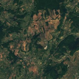
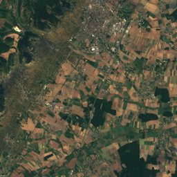
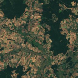
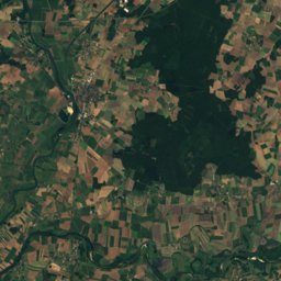
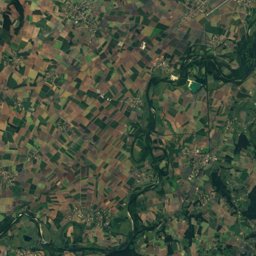
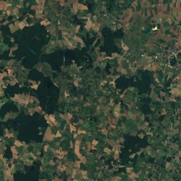
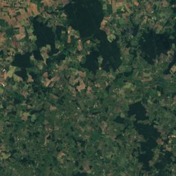
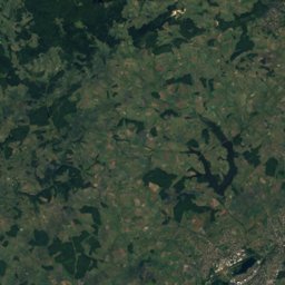
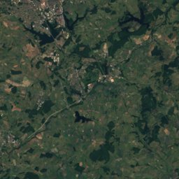
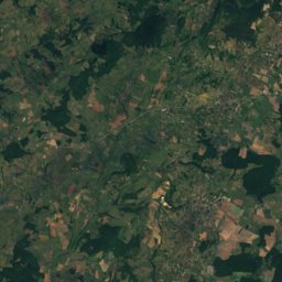
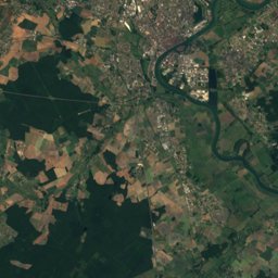
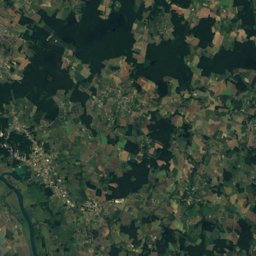
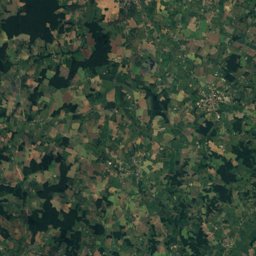
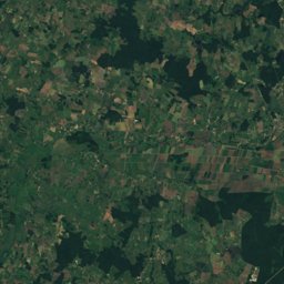
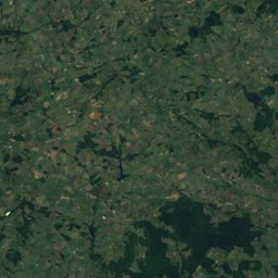
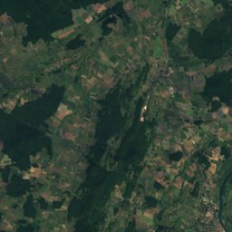
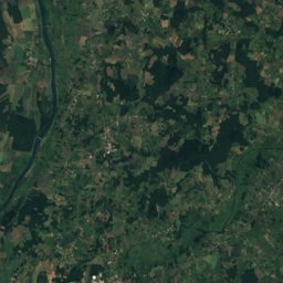
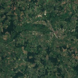
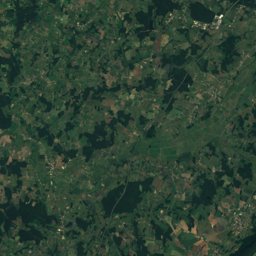
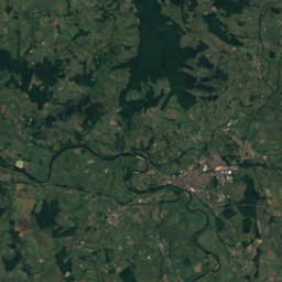
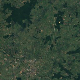
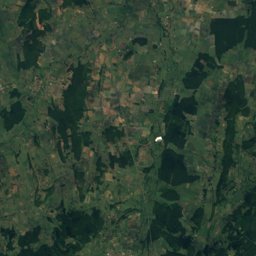
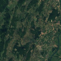
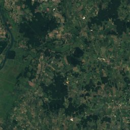
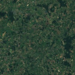
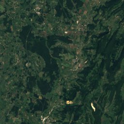
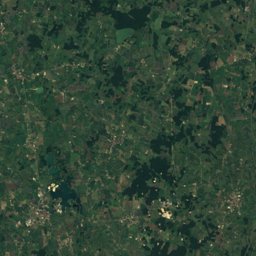
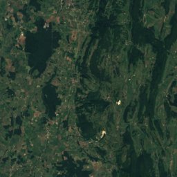
Satellite: Sentinel-2 cloudless 2016 by EOX IT Services GmbH · CC BY 4.0 · Contains modified Copernicus Sentinel data 2016
Outdoor activitiesChenôves
Outdoors near Chenôves
within 15 km12places
Camp sites6
Viewpoints3
46.67° N, 4.67° EElevation 376 mUTC+1 · Central European Standard Time
When to goChenôves · weather score
Best timeJun–Jul · Sep
October: high / low16° / 8°
Camp sites
| Name | Nearby | Details |
|---|---|---|
| Le Moulin de Collonge | 3.2 km | ★★★★ · Website |
| Les Voiles de Laives | 12.8 km | Website |
| Le Hameau des Champs | 13.2 km | Website |
| Aire Camping-cars Saint-Gengoux-le-Nationalcaravans & motorhomes | 6.8 km | Website |
| Aire Municipale Givrycaravans & motorhomes | 14.1 km | Website |
| Comité d'Accueil Camping du Gué | 10.8 km |
Camp sites in Bourgogne-Franche-Comté
Viewpoints
| Name | Nearby | Details |
|---|---|---|
| Mont Goubot | 5.6 km | |
| Mont Saint-Roch | 6.3 km | |
| Mont Avril | 11 km |
Viewpoints in Bourgogne-Franche-Comté
Climbing
| Name | Nearby | Details |
|---|---|---|
| Zone d'escalade d'Etrignycrag | 14.2 km | Website |
| Site d'escaladecrag | 1.5 km | |
| Les Carrières du Bois Derniercrag | 14.9 km |
Climbing in Bourgogne-Franche-Comté
Places come from an open map made by volunteers: well-known sites are there, small or new ones may be missing. Opening times and prices change, so check before you go.