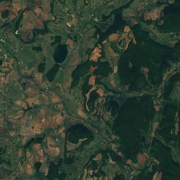
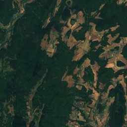
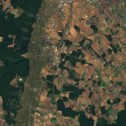
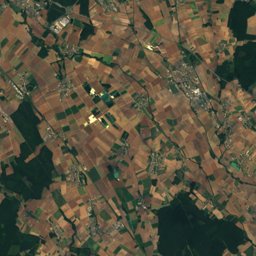
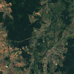
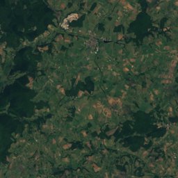
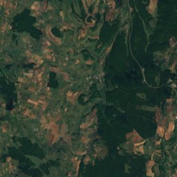
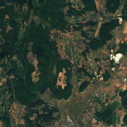
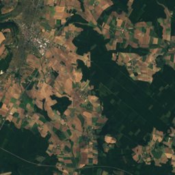
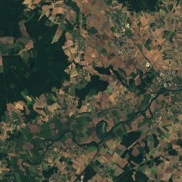
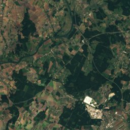
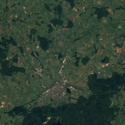
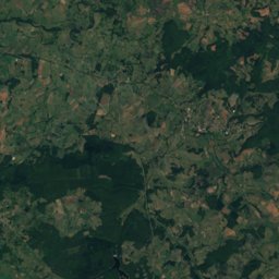
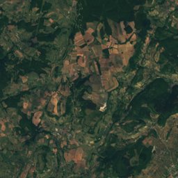
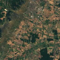
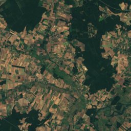
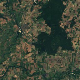
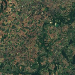
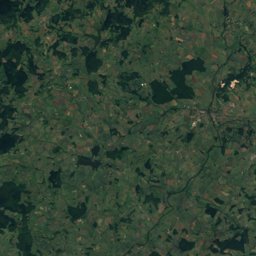
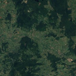
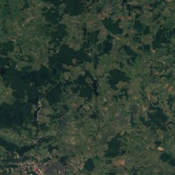
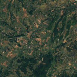
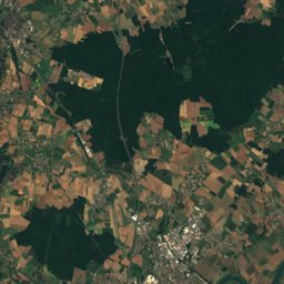
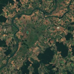
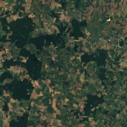
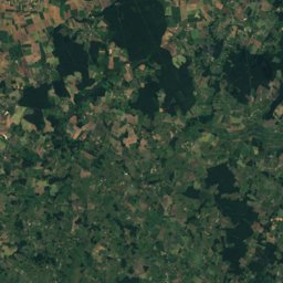
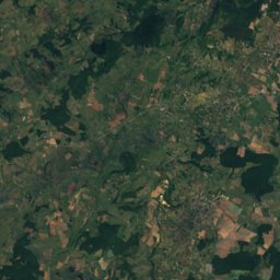
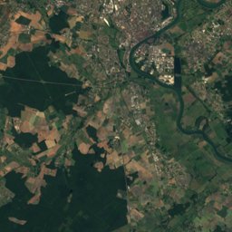
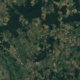
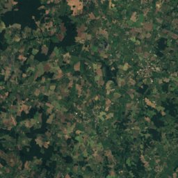
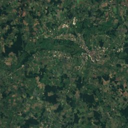
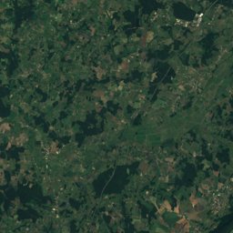
Satellite: Sentinel-2 cloudless 2016 by EOX IT Services GmbH · CC BY 4.0 · Contains modified Copernicus Sentinel data 2016
Outdoor activitiesChamilly
Outdoors near Chamilly
within 15 km28places
Camp sites14
Climbing7
46.87° N, 4.68° EElevation 327 mUTC+2 · Central European Summer Time
When to goChamilly · weather score
Best timeJun–Jul · Sep
October: high / low16° / 7°
Camp sites
| Name | Nearby | Details |
|---|---|---|
| Huttopia | 14.8 km | Website |
| Camping de Santenay | 4.4 km | ★★★ · Website |
| La bonne vie | 6 km | ★★★ · Website |
| Camping naturiste du Bois des Battées | 5.9 km | Website |
| Paquier Fané | 6.8 km | Website |
| Camping municipal | 6.4 km | Website |
| Aire pour camping-cars de Nolaycaravans & motorhomes | 10.2 km | Website |
| Aire de camping-car Saint-Léger-sur-Dheunecaravans & motorhomes | 4.5 km | Website |
| Aire Municipale Givrycaravans & motorhomes | 10.8 km | Website |
| Camping Municipal Les Chaumes du Mont | 9.9 km | |
| Domaine park & grill | 9.6 km | |
| Good for camping | 13.2 km |
Camp sites in Bourgogne-Franche-Comté
Climbing
Climbing in Bourgogne-Franche-Comté
Viewpoints
| Name | Nearby | Details |
|---|---|---|
| Point de vue de la Croix Chaumont | 2.2 km | |
| Montagne des Trois Croix | 6 km | |
| Table d’orientation | 6.6 km | |
| Mont Avril | 11.5 km | |
| Falaises de Baubigny | 15 km |
Viewpoints in Bourgogne-Franche-Comté
Mountain huts
| Name | Nearby | Details |
|---|---|---|
| Chalet de Vauchignonstaffed | 12.6 km | 350 m · Website |
Hot springs & thermal baths
| Name | Nearby | Details |
|---|---|---|
| Spa thermalthermal baths | 4.4 km | Website |
Places come from an open map made by volunteers: well-known sites are there, small or new ones may be missing. Opening times and prices change, so check before you go.