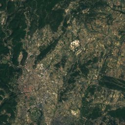
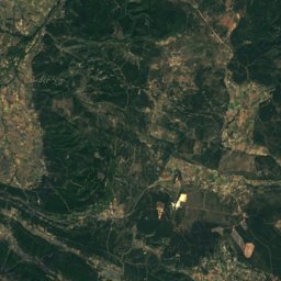
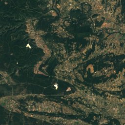
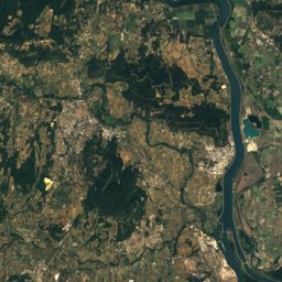
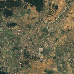
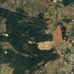
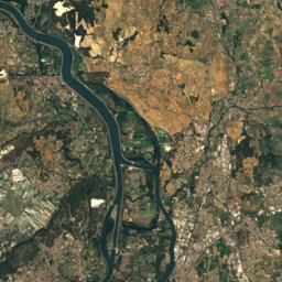
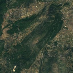
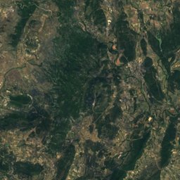
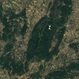
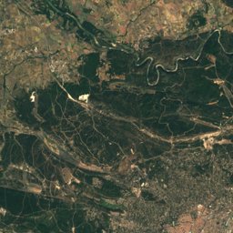
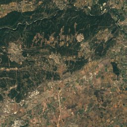
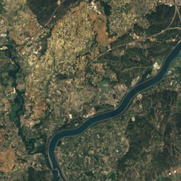
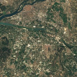
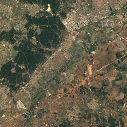
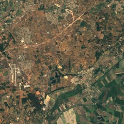
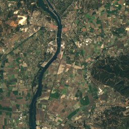
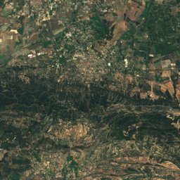
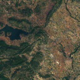
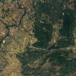
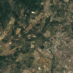
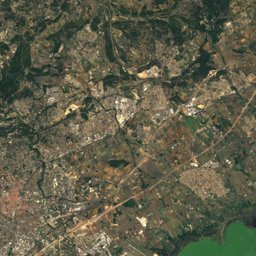
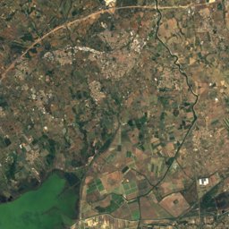
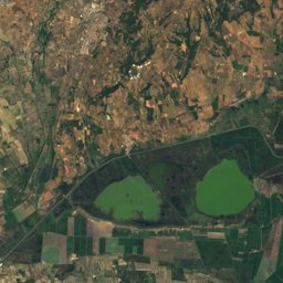
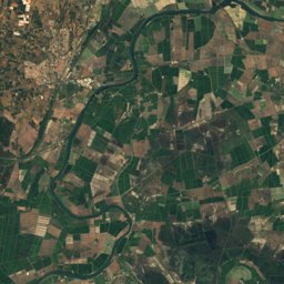
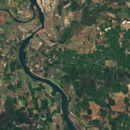
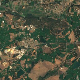
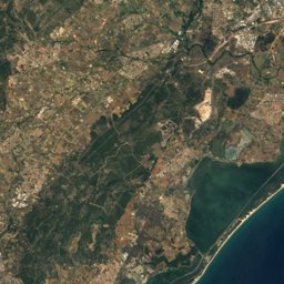
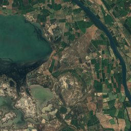
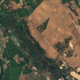
Satellite: Sentinel-2 cloudless 2016 by EOX IT Services GmbH · CC BY 4.0 · Contains modified Copernicus Sentinel data 2016
Outdoor activitiesCalvisson
Outdoors near Calvisson
within 15 km35places
Camp sites19
Climbing7
43.79° N, 4.20° EElevation 53 mUTC+1 · Central European Standard Time
When to goCalvisson · weather score
Best timeApr–May · Sep
October: high / low21° / 10°
Camp sites
| Name | Nearby | Details |
|---|---|---|
| Domaine de Massereau | 8 km | ★★★★★ · Website |
| Domaine de Gajan | 10.1 km | ★★★★ · Website |
| Les Amandiers | 8.3 km | ★★★★ · Website |
| Camping Monte Cristo | 11.3 km | ★★★ · Website |
| Bellevue en Camargue | 11.9 km | ★★★ · Website |
| Mas de l'Isle | 13.6 km | ★★★ · Website |
| Les Chênes | 6.7 km | ★★★ · Website |
| Le Pré Saint-André | 6.6 km | ★★★ · Website |
| Le Garanel | 8.8 km | ★★★ · Website |
| Domaine de la Bastide | 12.5 km | ★★★★ |
| Camping Mer et Camargue | 2.7 km | ★★★★ |
| Pont de Lunel | 11.7 km | ★★ · Website |
Climbing
| Name | Nearby | Details |
|---|---|---|
| La roque de Villetelle (escalade)crag | 8 km | Website |
| Mini Via Ferrata de la Carrière de Boisseronvia ferrata | 9.8 km | 3 · 23 m · Website |
| Climb Up Nîmesclimbing gym | 14.7 km | Website |
| Roque d'Aubaiscrag | 7.8 km | |
| Via Ferrata de la Roquevia ferrata | 8 km | 4+ · 28 m |
| Mini Via Ferrata de la Carrière de Boisseron: Échappatoirevia ferrata | 9.8 km | 1 |
| Bloc Sessionclimbing gym | 12.8 km |
Viewpoints
| Name | Nearby | Details |
|---|---|---|
| Tour Magne | 13.8 km | |
| Pierre de Foulc | 5.3 km | |
| Table d'orientation | 6.9 km | |
| Table orientation | 7.7 km | |
| La Roque de Saint-Sériès | 8 km | |
| ancien moulin | 8.4 km |
Theme parks
| Name | Nearby | Details |
|---|---|---|
| Teraventure | 13.9 km | |
| Le Monde de Marie | 9.1 km |
Golf courses
| Name | Nearby | Details |
|---|---|---|
| Golf de Nîmes Vacquerolles | 10.9 km | Website |
Places come from an open map made by volunteers: well-known sites are there, small or new ones may be missing. Opening times and prices change, so check before you go.