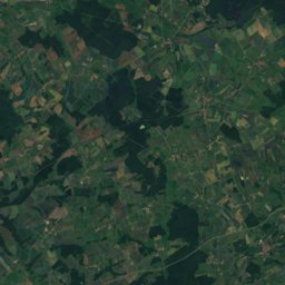
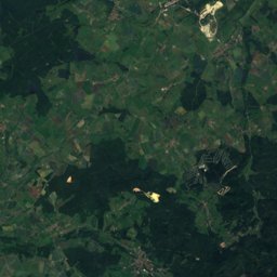
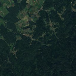
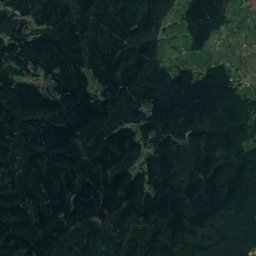
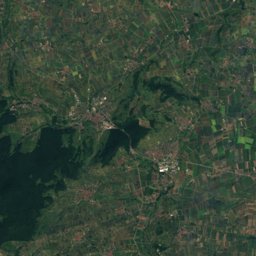
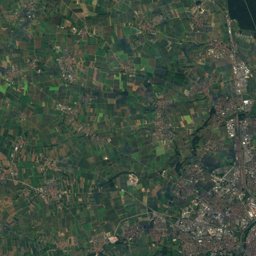
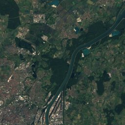
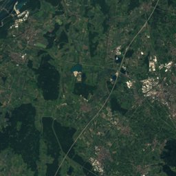
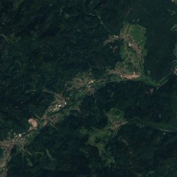
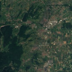
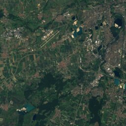
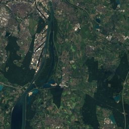
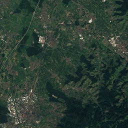
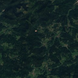
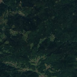
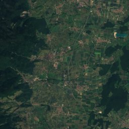
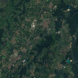
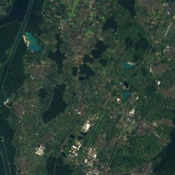
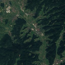
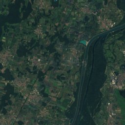
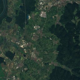
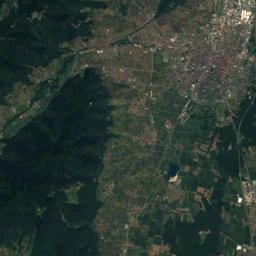
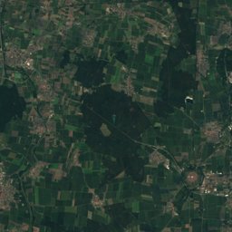
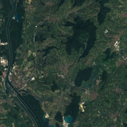
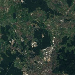
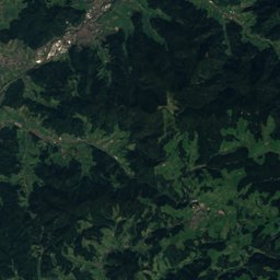
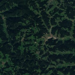
Satellite: Sentinel-2 cloudless 2016 by EOX IT Services GmbH · CC BY 4.0 · Contains modified Copernicus Sentinel data 2016
Outdoor activitiesBindernheim
Outdoors near Bindernheim
within 15 km35places
Camp sites20
Viewpoints9
48.28° N, 7.61° EElevation 162 mUTC+2 · Central European Summer Time
When to goBindernheim · weather score
Best timeApr · Jun · Sep
October: high / low16° / 7°
Camp sites
| Name | Nearby | Details |
|---|---|---|
| Ferme des Tuileries | 7.8 km | ★★★ · Website |
| Camping du Ried | 8.1 km | Website |
| Camping Au Clair Ruisseau | 14.1 km | Website |
| Europa-Park Camping & Caravaningcaravans & motorhomes | 8.1 km | Website |
| Camping municipal Les Cigognes | 12.3 km | Website |
| Camping Association Foyer St- Martin | 8.1 km | Website |
| Wohnmobil & Caravan Stellplatz Ringsheimcaravans & motorhomes | 12.5 km | Website |
| Wohnmobil Stellplatz Team Baumanncaravans & motorhomes | 12.7 km | Website |
| Aire de stationnement Les Vignobles Ruhlmann-Schutzcaravans & motorhomes | 14.1 km | Website |
| Aire de service pour campings cars – Libertium Alsacecaravans & motorhomes | 10.8 km | Website |
| Aire de camping-car de Schœnaucaravans & motorhomes | 7.4 km | Website |
| Ostertag-Hurlimanncaravans & motorhomes | 13 km | Website |
Viewpoints
| Name | Nearby | Details |
|---|---|---|
| Banc de l'impératrice | 13.6 km | |
| Bleichtal - Münstertal | 14.5 km | |
| Ecluse de Markolsheim | 14.8 km | |
| Rheinblick Parkplatz | 12.2 km | |
| Elzpfad | 12.5 km | |
| Schwarzwaldblick | 14.6 km | |
| Rocher des Celtes | 14.6 km | |
| Rheinebene | 14.9 km | |
| Heubergturm | 15 km |
Theme parks
Zoos
| Name | Nearby | Details |
|---|---|---|
| Tierpark Tierfreunde Kahlenberg | 13.9 km | |
| Educational farm | 8.6 km |
Ski areas
Diving
- Apostelsee13.6 km
- Vogelsee13.8 km
Places come from an open map made by volunteers: well-known sites are there, small or new ones may be missing. Opening times and prices change, so check before you go.