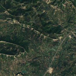
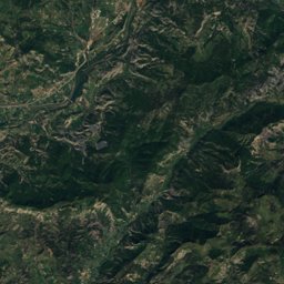
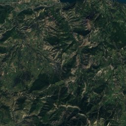
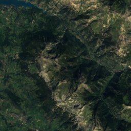
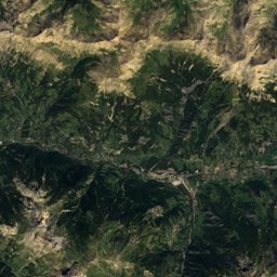
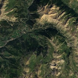
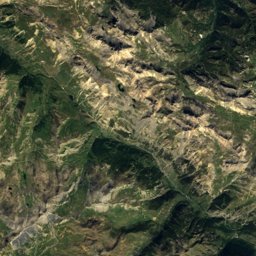
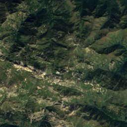
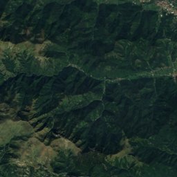
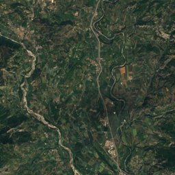
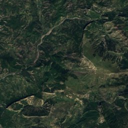
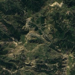
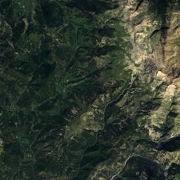
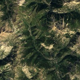
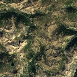
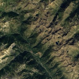
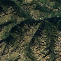
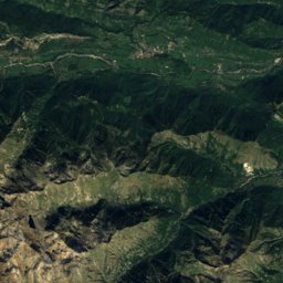
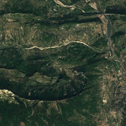
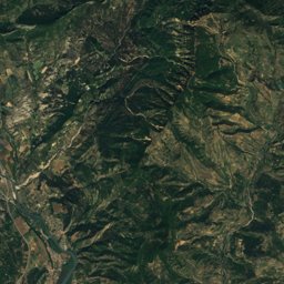
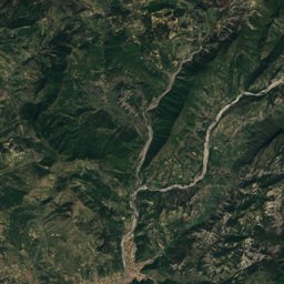
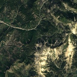
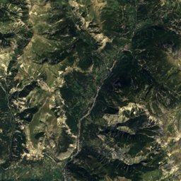
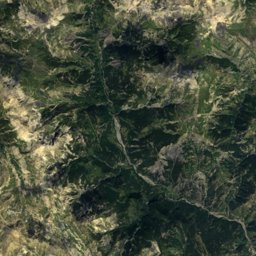
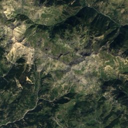
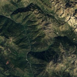
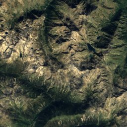
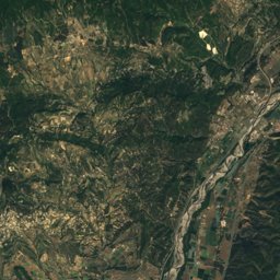
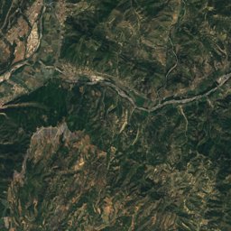
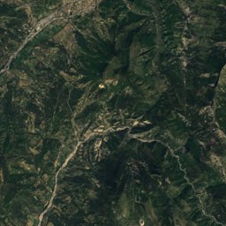
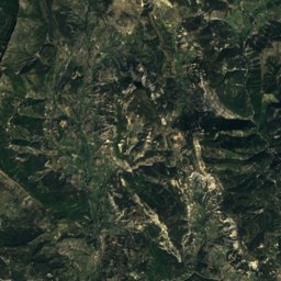
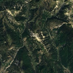
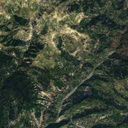
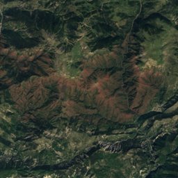
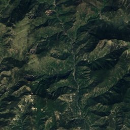
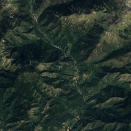
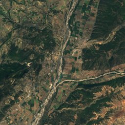
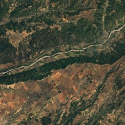
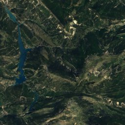
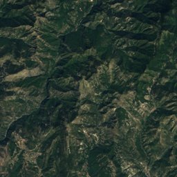
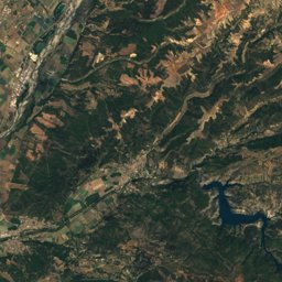
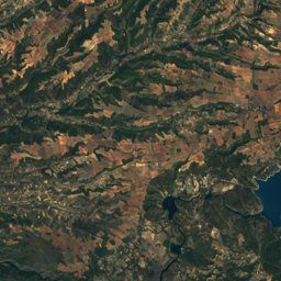
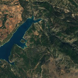
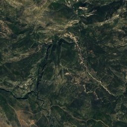
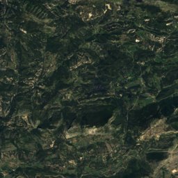
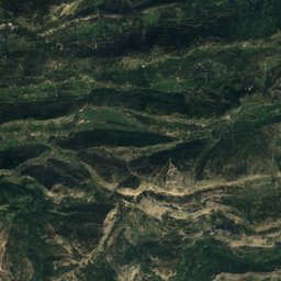
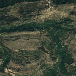
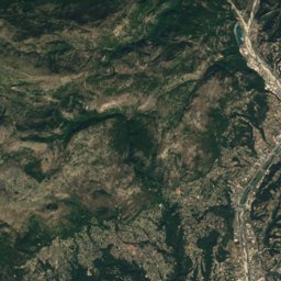
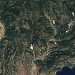
Satellite: Sentinel-2 cloudless 2016 by EOX IT Services GmbH · CC BY 4.0 · Contains modified Copernicus Sentinel data 2016
Outdoor activitiesAllons, Provence-Alpes-Côte d'Azur
Outdoors near Allons
within 15 km37places
Camp sites12
Climbing12
43.98° N, 6.60° EElevation 1,083 mUTC+1 · Central European Standard Time
When to goAllons · weather score
Best timeJun–Aug
October: high / low17° / 4°
Camp sites
| Name | Nearby | Details |
|---|---|---|
| Camping Les Iscles | 7 km | ★★ · Website |
| Clicochic Castillon de Provence | 12.2 km | ★★★ |
| Camping du Villard | 13.7 km | ★ · Website |
| Camping L'Adrech | 4.4 km | ★★ · Website |
| Camping du Lac | 8.1 km | ★★ · Website |
| Camping La Ribière | 5.1 km | ★★ · Website |
| L'Issole | 6.8 km | Website |
| Aire de stationnement Castellanecaravans & motorhomes | 13.5 km | Website |
| Aire Camping Car d'Annotcaravans & motorhomes | 5.8 km | Website |
| Ferme de Cheyroncaravans & motorhomes | 13.1 km | Website |
| Aire camping-cars de Méaillescaravans & motorhomes | 6 km | Website |
| Le Pastaïre | 9.7 km |
Camp sites in Provence-Alpes-Côte d'Azur
Climbing
| Name | Nearby | Details |
|---|---|---|
| Dalle de la Beïtecrag | 6.1 km | |
| Rocher de la Balmecrag | 6.3 km | |
| Offwidth Paradisecrag | 6.5 km | |
| Bestiairecrag | 6.6 km | |
| Paolo Felicicrag | 7.1 km | |
| Vire du bascrag | 7.3 km | |
| Vire intermédiairecrag | 7.4 km | |
| La Cascadecrag | 7.5 km | |
| Les Scaffarels - La Plagecrag | 7.6 km | |
| Secteur Sudcrag | 12.6 km | |
| Secteur Ouestcrag | 12.7 km | |
| Secteur Nord-Ouestcrag | 14.8 km |
Climbing in Provence-Alpes-Côte d'Azur
Mountain huts
| Name | Nearby | Details |
|---|---|---|
| Cabane de Saussesstaffed | 13.2 km | 1,917 m |
| Cabane de La Guinchéeunstaffed shelter | 14.4 km | 1,664 m |
| Maison forestière de l'Auragnierunstaffed shelter | 9.8 km | 1,235 m |
| Le Chastellardunstaffed shelter | 12.2 km | |
| Refuge Stéphane Mayenunstaffed shelter | 12.4 km | |
| Gite de Palluyunstaffed shelter | 5.1 km | |
| Abri de Saint-Jean du Désertunstaffed shelter | 11.7 km |
Mountain huts in Provence-Alpes-Côte d'Azur
Viewpoints
| Name | Nearby | Details |
|---|---|---|
| Le Baou d'Annot | 5.8 km | |
| Les deux saints | 6.9 km | |
| Belvédère du Pidanoux | 7.3 km | |
| Trou de Chalvet | 8 km | |
| La Colle | 10.4 km |
Viewpoints in Provence-Alpes-Côte d'Azur
Water parks
| Name | Nearby | Details |
|---|---|---|
| Aquaventure Park | 7.2 km | Website |
Places come from an open map made by volunteers: well-known sites are there, small or new ones may be missing. Opening times and prices change, so check before you go.