
Music festivalNewport, Rhode Island, United States
Newport Folk Festival
July
MonthsJuly
How oftenEvery year
TypeMusic festival
TownNewportRhode Island
41.48° N, 71.34° WUTC−4 · Eastern Daylight Time
When to goNewport · weather score
Best timeMay · Aug–Sep
October: high / low63° / 48°
Music festival
Newport Folk Festival in brief
Newport Folk Festival takes place every year in July in Newport (Rhode Island, United States).
In July, Newport averages daytime highs of 78° and night-time lows of 64° — warm weather by day. Expect around 3.5 in of precipitation spread over about 11 wet days, with average cloud cover near 32%.
Only the month is given: the exact dates change from year to year.
Weather nearby now
Newport52°
Cloudy now
Today
22 Oct
61°
46°
Fri
23 Oct
54°
41°
Sat
24 Oct
56°
39°
Sun
25 Oct
56°
40°
Mon
26 Oct
61°
44°
Model run 00:00 UTCRefreshed several times a day
Weather in Newport in July
| Month | High / low | Wet days (≥1 mm) | Precipitation | Score |
|---|---|---|---|---|
| July | 78° / 64° | 11 | 3.5 in | 69/100 · good |
Also around this time nearby
- Woods Hole Film FestivalFilm festival · Jul–AugFalmouth
Only the month is given: the exact dates change from year to year.
Newport through the year
- Jan
- Feb
- Mar
- Apr
- May
- Jun
- Jul
- Aug1
- Sep
- Oct
- Nov
- Dec
August
- Newport Jazz FestivalMusic festival
Only the month is given: the exact dates change from year to year.
Around here
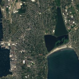
Newport and around

Nature
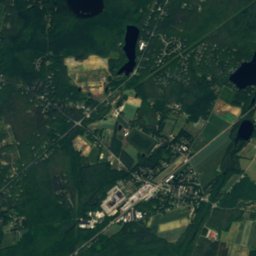

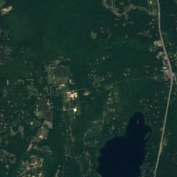


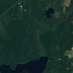
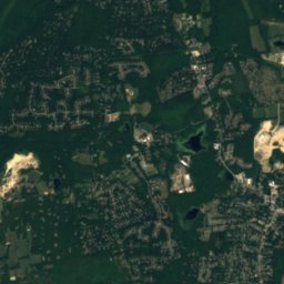
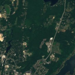
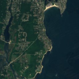
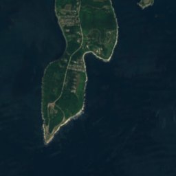
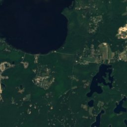
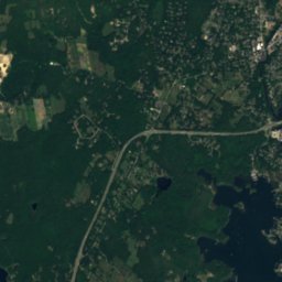
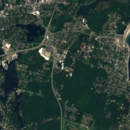


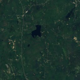
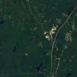
Satellite: Sentinel-2 cloudless 2016 by EOX IT Services GmbH · CC BY 4.0 · Contains modified Copernicus Sentinel data 2016
Pettaquamscutt River
River

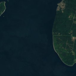
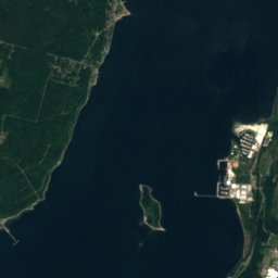
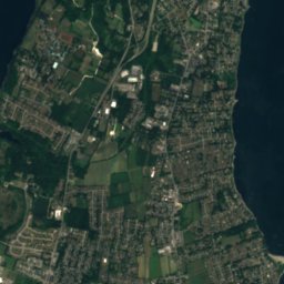
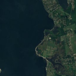
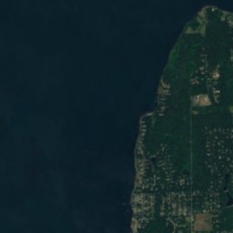

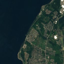
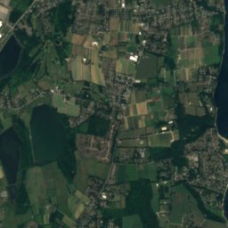

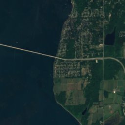


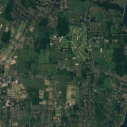
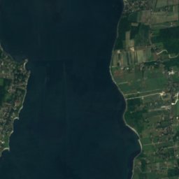
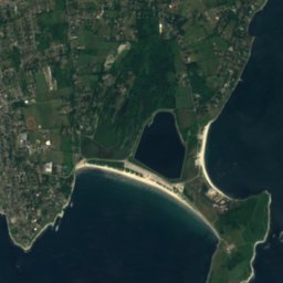
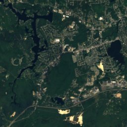
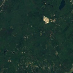
Satellite: Sentinel-2 cloudless 2016 by EOX IT Services GmbH · CC BY 4.0 · Contains modified Copernicus Sentinel data 2016
Maidford River
River


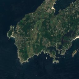



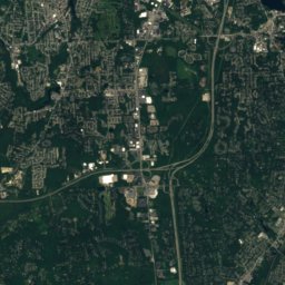
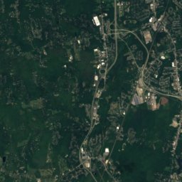
Satellite: Sentinel-2 cloudless 2016 by EOX IT Services GmbH · CC BY 4.0 · Contains modified Copernicus Sentinel data 2016
Maiford River
River
Mountains
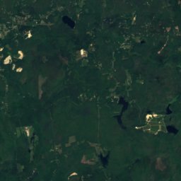

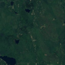
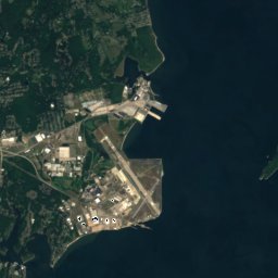
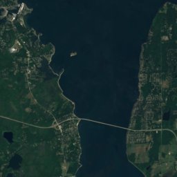
Satellite: Sentinel-2 cloudless 2016 by EOX IT Services GmbH · CC BY 4.0 · Contains modified Copernicus Sentinel data 2016
Huckleberry Hill, Rhode Island
226 ft · Appalachian Mountains
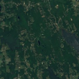
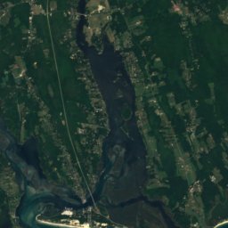
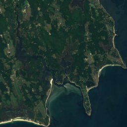



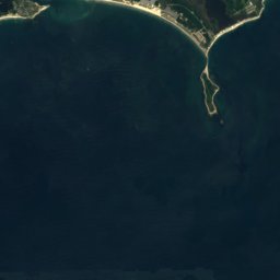






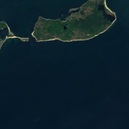

Satellite: Sentinel-2 cloudless 2016 by EOX IT Services GmbH · CC BY 4.0 · Contains modified Copernicus Sentinel data 2016
Saddleback Hill
82 ft
Heritage


Photo: Swampyank at en.wikipedia · CC BY-SA 3.0 · Wikimedia CommonsReport this photo · linked, not stored
Touro Synagogue
National Register of Historic Places listed place · 1759


