
CarnivalHuejotzingo, Puebla, Mexico
Carnival of Huejotzingo
February and March
MonthsFeb–Mar
How oftenEvery year
TypeCarnival
TownHuejotzingoPuebla
19.16° N, 98.41° WUTC−6 · Central Standard Time
When to goHuejotzingo · weather score
Best timeJan–Mar
October: high / low24° / 10°
Carnival
Carnival of Huejotzingo in brief
Carnival of Huejotzingo takes place every year in February and March in Huejotzingo (Puebla, Mexico).
In February, Huejotzingo averages daytime highs of 24° and night-time lows of 6° — warm weather by day. Expect around 12 mm of precipitation spread over about 6 wet days, with average cloud cover near 17%.
Only the month is given: the exact dates change from year to year.
Weather nearby now
Huejotzingo18°
Showers now
Today
22 Oct
23°
12°
2 mm
Fri
23 Oct
23°
10°
Sat
24 Oct
23°
11°
Sun
25 Oct
22°
12°
1 mm
Mon
26 Oct
23°
12°
9 mm
Model run 00:00 UTCRefreshed several times a day
Also around this time nearby
- Carnaval de TlaxcalaCarnival · Feb–MarMazapa (Rancho los Juanes)
- Carnivals of IztapalapaCarnival · Feb–MarIztapalapa
Only the month is given: the exact dates change from year to year.
Around here
Huejotzingo and around

Photo: AlejandroLinaresGarcia · CC BY-SA 4.0 · Wikimedia CommonsReport this photo · linked, not stored
Huejotzingo
Puebla · Mexico
Jan–Marbest months
25°July high
2,275 maltitude
Nature
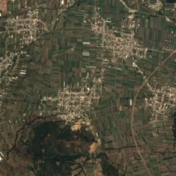
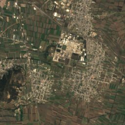
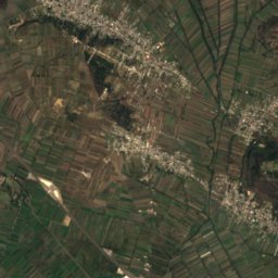
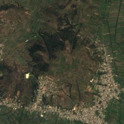
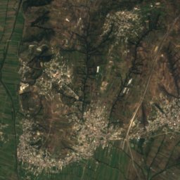
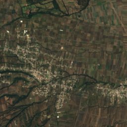
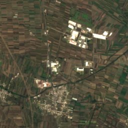
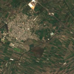
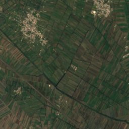
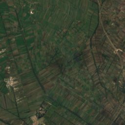
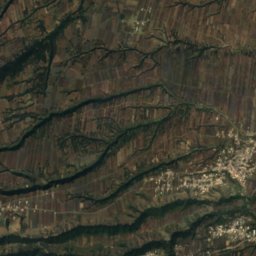
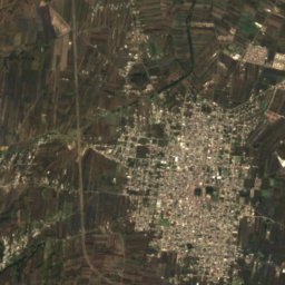
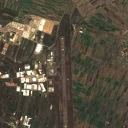
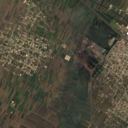
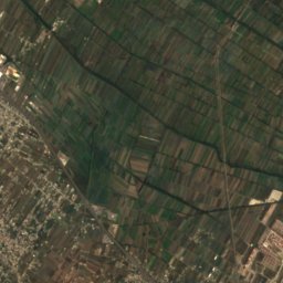
Satellite: Sentinel-2 cloudless 2016 by EOX IT Services GmbH · CC BY 4.0 · Contains modified Copernicus Sentinel data 2016
Río Atoyac
River
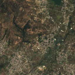
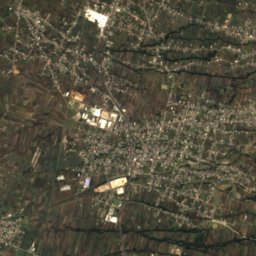
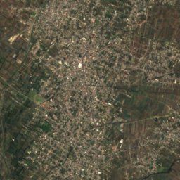
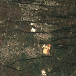
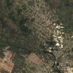
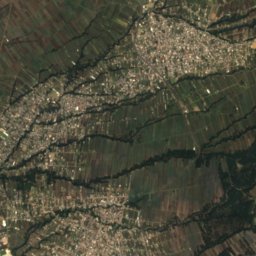
Satellite: Sentinel-2 cloudless 2016 by EOX IT Services GmbH · CC BY 4.0 · Contains modified Copernicus Sentinel data 2016
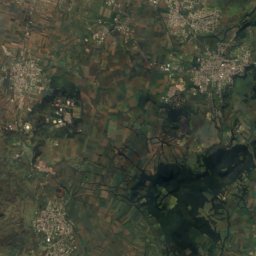
Zahuapan River
River
Satellite: Sentinel-2 cloudless 2016 by EOX IT Services GmbH · CC BY 4.0 · Contains modified Copernicus Sentinel data 2016
Laguna de Acomulco
Lake
Mountains

Photo: Jakub Hejtmánek at Czech Wikipedia · CC BY-SA 3.0 · Wikimedia CommonsReport this photo · linked, not stored
Popocatépetl
5,454 m · Trans-Mexican Volcanic Belt

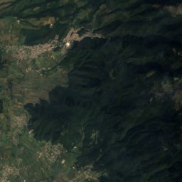
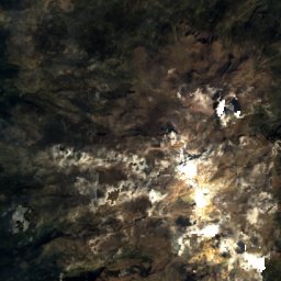
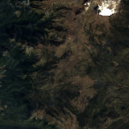
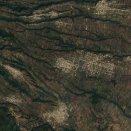
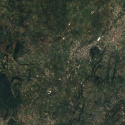
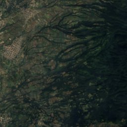
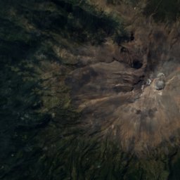
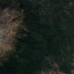
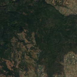
Satellite: Sentinel-2 cloudless 2016 by EOX IT Services GmbH · CC BY 4.0 · Contains modified Copernicus Sentinel data 2016
Pico El Fraile, Puebla
4,956 m
Heritage
Satellite: Sentinel-2 cloudless 2016 by EOX IT Services GmbH · CC BY 4.0 · Contains modified Copernicus Sentinel data 2016
Huejotzingo
Pueblos mágicos
Museums
Satellite: Sentinel-2 cloudless 2016 by EOX IT Services GmbH · CC BY 4.0 · Contains modified Copernicus Sentinel data 2016
Museo Local de la Evangelización-Ex Convento de Huejotzingo
Satellite: Sentinel-2 cloudless 2016 by EOX IT Services GmbH · CC BY 4.0 · Contains modified Copernicus Sentinel data 2016
Museo de Sitio Atoyatenco
2000


Satellite: Sentinel-2 cloudless 2016 by EOX IT Services GmbH · CC BY 4.0 · Contains modified Copernicus Sentinel data 2016
Museo Hacienda de San Cristóbal Polaxtla
2002