


Satellite: Sentinel-2 cloudless 2016 by EOX IT Services GmbH · CC BY 4.0 · Contains modified Copernicus Sentinel data 2016
Traditional festivalKillorglin, Munster, Ireland
Puck Fair
August
MonthsAugust
How oftenEvery year
TypeTraditional festival
TownKillorglinMunster
52.11° N, 9.79° WUTC+1 · Irish Standard Time
When to goKillorglin · weather score
Best timeJun–Aug
October: high / low15° / 8°
Traditional festival
Puck Fair in brief
Puck Fair takes place every year in August in Killorglin (Munster, Ireland).
In August, Killorglin averages daytime highs of 19° and night-time lows of 12° — mild weather by day. Expect around 124 mm of precipitation spread over about 21 wet days, with average cloud cover near 52%.
Only the month is given: the exact dates change from year to year.
Weather nearby now
Killorglin10°
Rain now
Today
22 Oct
12°
6°
23 mm
Fri
23 Oct
12°
8°
11 mm
Sat
24 Oct
16°
9°
48 mm
Sun
25 Oct
12°
9°
1 mm
Mon
26 Oct
16°
8°
12 mm
Model run 00:00 UTCRefreshed several times a day
Weather in Killorglin in August
| Month | High / low | Wet days (≥1 mm) | Precipitation | Score |
|---|---|---|---|---|
| August | 19° / 12° | 21 | 124 mm | 58/100 · fair |
Also around this time nearby
- Rose of Tralee (festival)Traditional festivalTralee
Only the month is given: the exact dates change from year to year.
Around here
Killorglin and around
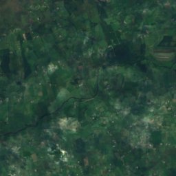
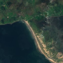
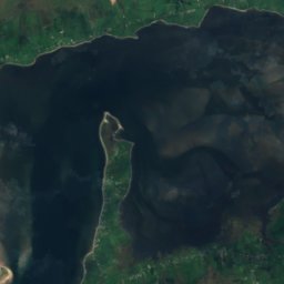
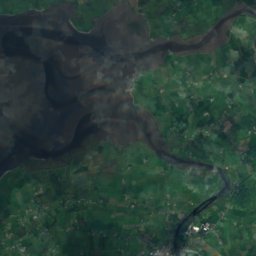
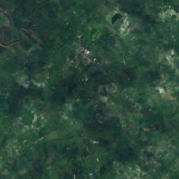
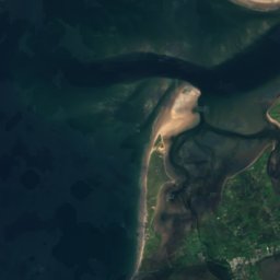
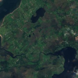
Satellite: Sentinel-2 cloudless 2016 by EOX IT Services GmbH · CC BY 4.0 · Contains modified Copernicus Sentinel data 2016
Killorglin
Munster · Ireland
Jun–Augbest months
19°July high
32 maltitude
Nature


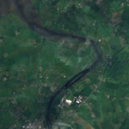
Mountains
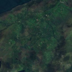
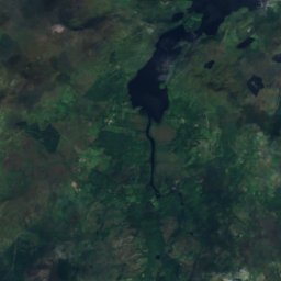
Satellite: Sentinel-2 cloudless 2016 by EOX IT Services GmbH · CC BY 4.0 · Contains modified Copernicus Sentinel data 2016
Carrauntoohil
1,039 m · MacGillycuddy's Reeks

Heritage




Satellite: Sentinel-2 cloudless 2016 by EOX IT Services GmbH · CC BY 4.0 · Contains modified Copernicus Sentinel data 2016
Ballymalis Castle
national monument of Ireland