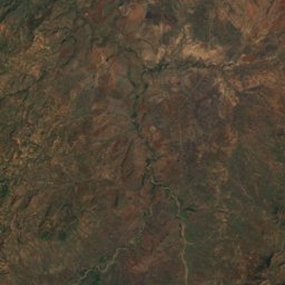
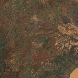
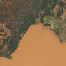
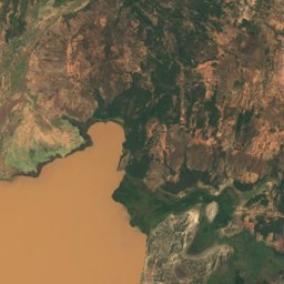
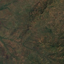
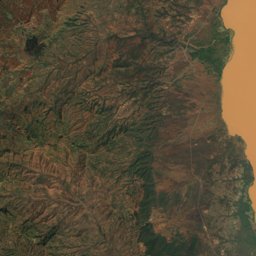
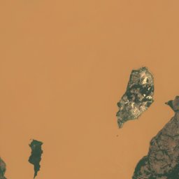
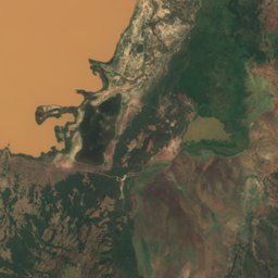
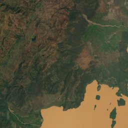
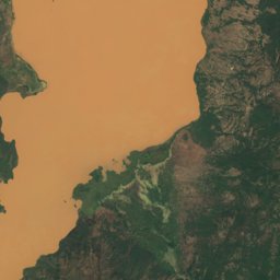
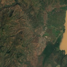
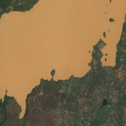
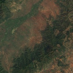
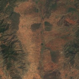
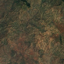
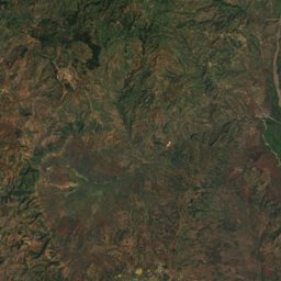
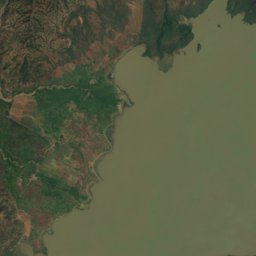
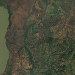
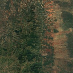
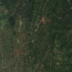
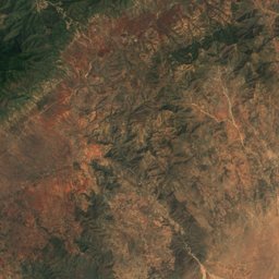
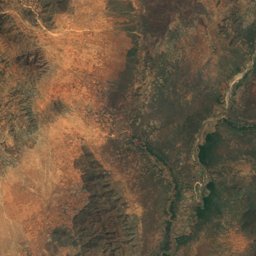
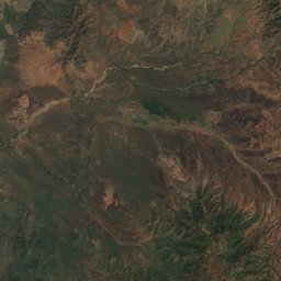
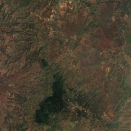
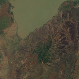
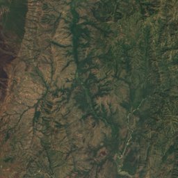
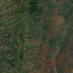
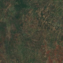
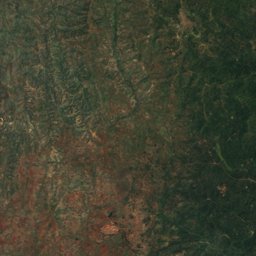
Satellite: Sentinel-2 cloudless 2016 by EOX IT Services GmbH · CC BY 4.0 · Contains modified Copernicus Sentinel data 2016
Outdoor activitiesArba Minch
Outdoors near Arba Minch
within 15 km17places
Viewpoints11
Camp sites6
6.03° N, 37.55° EElevation 1,269 mUTC+3 · East Africa Time
When to goArba Minch · weather score
Best timeJan–Feb · Dec
October: high / low26° / 19°
Viewpoints
| Name | Nearby | Details |
|---|---|---|
| 1-other side of the floodplain | 1.2 km | |
| 1-bridge with piers 1 | 1.2 km | |
| 1-bridge-after downstream | 1.2 km | |
| floodplain near the road (visited first) | 1.3 km | |
| 2-bridge | 2 km | |
| 1-Floodplain-R1 | 2 km | |
| 1-floodplain-R | 2.1 km | |
| 1-meandering | 2.1 km | |
| 1-meandering-floodplain-L-1370 | 2.2 km | |
| Abaya Viewpoint | 13.3 km | |
| Chamo Viewpoint | 14.1 km |
Viewpoints in South Ethiopia Regional State
Camp sites
| Name | Nearby | Details |
|---|---|---|
| 1-1989 flood affected, junction | 1.2 km | |
| 1-near bridge, embankment, and city protection | 1.2 km | |
| 1-floodplain-affected areas-prison | 1.7 km | |
| 1-mangoes and bananas affected flood | 1.9 km | |
| Arba Minch Bekele Mola Hotelcaravans & motorhomes | 3.1 km | |
| Nechisar Campsitecaravans & motorhomes | 4.8 km |
Camp sites in South Ethiopia Regional State
Places come from an open map made by volunteers: well-known sites are there, small or new ones may be missing. Opening times and prices change, so check before you go.