Skip to content
Destinations
Weather & climate
Nature
Outdoors
Culture
Events
Sky & live
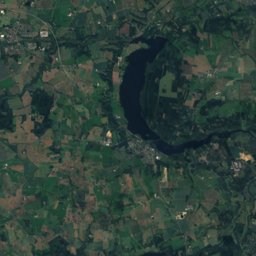
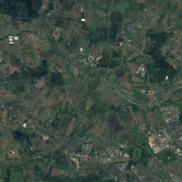
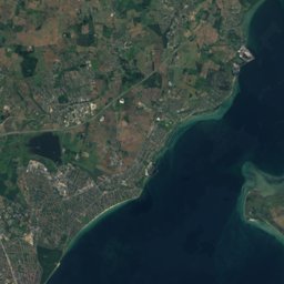
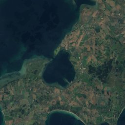
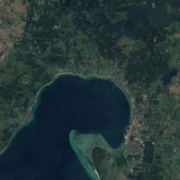
Satellite: Sentinel-2 cloudless 2016 by EOX IT Services GmbH · CC BY 4.0 · Contains modified Copernicus Sentinel data 2016
Weather forecastTodderup, Denmark · Model run 2026-10-25 12:00 UTC

Todderup 5-day weather

High11–14°5 days
Low2–9°vs usual +2°
Rain11 mmdays with rain: 3
56.18° N, 10.10° EElevation 69 mUTC+1 · Central European Standard Time
When to goTodderup · weather score
JanFebMarAprMayJunJulAugSepOctNovDec26October
Best timeJun–Aug
October: high / low12° / 7°

Over the next 5 days in Todderup the afternoons reach 11° to 14° and the nights 2° to 9°. About 11 mm of rain is expected on 3 days; the wettest day is Tuesday 27 October. The warmest day looks like Wednesday 28 October. On average the period is 2° warmer than usual.

Day by day

Today

26 October
12° 8°
Rain
  • Rain 3 mm · 24%
  • Wind 30 km/h
  • Cloud cover 70%
  • vs usual +2°
  • Sunrise · sunset 07:14 · 16:54
Night8°1 mm
Morning9°2 mm
Afternoon12°–
Evening10°–

Tomorrow

27 October
13° 9°
Rain
  • Rain 5 mm · 48%
  • Wind 26 km/h
  • Cloud cover 100%
  • vs usual +3°
  • Sunrise · sunset 07:16 · 16:52
Night10°2 mm
Morning12°1 mm
Afternoon13°0 mm
Evening12°2 mm

Wednesday

28 October
14° 7°
Showers
  • Rain 3 mm · 24%
  • Wind 20 km/h
  • Cloud cover 41%
  • vs usual +4°
  • Sunrise · sunset 07:18 · 16:49
Night9°–
Morning9°–
Afternoon13°–
Evening10°3 mm

Thursday

29 October
13° 6°
Partly cloudy
  • Rain 0 mm · 0%
  • Wind 20 km/h
  • Cloud cover 25%
  • vs usual +3°
  • Sunrise · sunset 07:21 · 16:47
Night8°–
Morning9°–
Afternoon12°–
Evening8°–

Friday

30 October
11° 2°
Partly cloudy
  • Rain 0 mm · 0%
  • Wind 7 km/h
  • Cloud cover 31%
  • vs usual +2°
  • Sunrise · sunset 07:23 · 16:45
Night4°–
Morning6°–
Afternoon10°–
Evening4°–

The next 48 hours

Tue 278°0.6Now8°0.4049°20710°0.41012°0.11311°169°1910°229°20110°0.20412°0.50712°0.21013°0.21313°1613°0.51912°222

Rain in mm per 3 hours; times are local.

Weather in nearby places

About this forecast

Days 1–10: a high-resolution global weather model (0.25° grid), adjusted to this place's own climate so that a hill village is not given the valley's warmth. New model runs arrive twice a day.