


















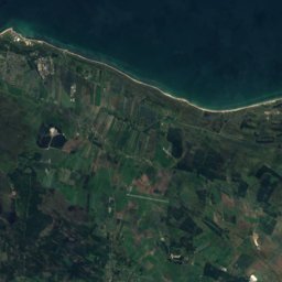
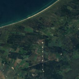
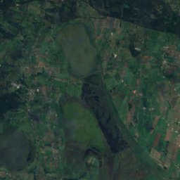
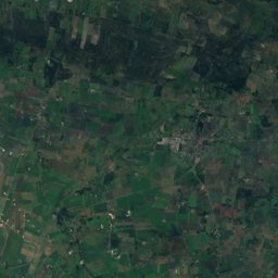



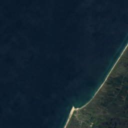
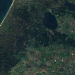
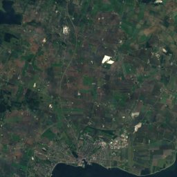
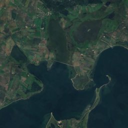
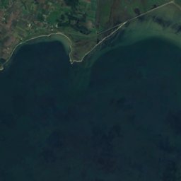
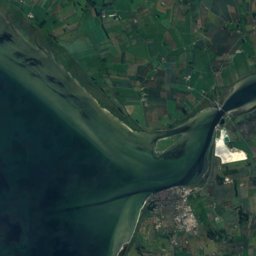



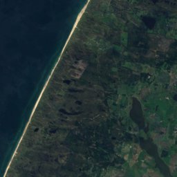
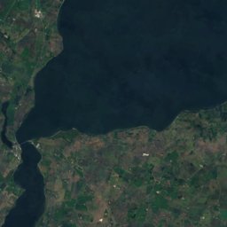
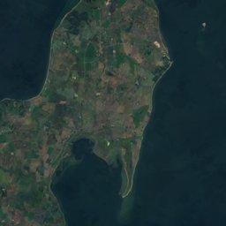
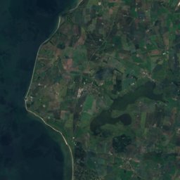


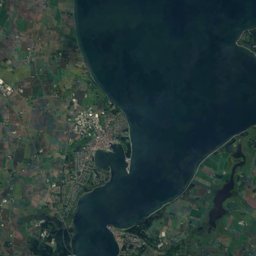
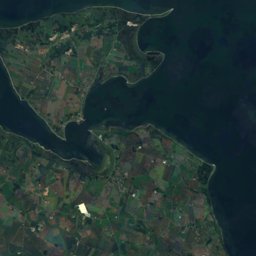
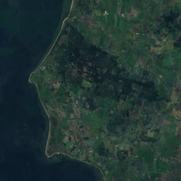
Satellite: Sentinel-2 cloudless 2016 by EOX IT Services GmbH · CC BY 4.0 · Contains modified Copernicus Sentinel data 2016
Outdoor activitiesThisted
Outdoors near Thisted
within 15 km34places
Camp sites25
Viewpoints8
56.96° N, 8.69° EElevation 4 mUTC+2 · Central European Summer Time
When to goThisted · weather score
Best timeJun–Aug
October: high / low12° / 9°
Camp sites
| Name | Nearby | Details |
|---|---|---|
| Thisted Camping og Hytteferie | 1.3 km | Website |
| Vildsund Camping | 9.5 km | Website |
| Tandrup Tipi | 9.3 km | Website |
| THY Mini-Camping & Stellplads | 15 km | Website |
| Gå-Nu-Natbackcountry | 9.5 km | Website |
| Sundby Havncaravans & motorhomes | 8.6 km | Website |
| Ejerslev Havn Autocamperpladscaravans & motorhomes | 14.4 km | Website |
| Søsport Vilsund Shelterplads | 9.2 km | Website |
| Eshøj Shelterpladsbackcountry | 3.9 km | Website |
| Skovhusetbackcountry | 6 km | Website |
| Klov Bakker Shelterpladsbackcountry | 8.1 km | Website |
| Shelter ved Sundby Strandbad | 8.6 km | Website |
Viewpoints
| Name | Nearby | Details |
|---|---|---|
| Salgerhøj | 8.8 km | 89 m |
| Odinshøi | 11.1 km | |
| Isbjerg | 11.2 km | 56 m |
| Hanklit | 7.5 km | |
| Atterhøj | 9 km | |
| Udsigt over Langsande | 10.9 km | |
| Skyum Bjerge | 13.3 km | |
| Udsigtsplatform Sårup | 14.9 km |
Golf courses
| Name | Nearby | Details |
|---|---|---|
| Nordvest Jysk Golfklub | 13.1 km |
Places come from an open map made by volunteers: well-known sites are there, small or new ones may be missing. Opening times and prices change, so check before you go.