


China
Qinghai
Qinghai is one of the 31 regions of China; its largest place is Xining.
Best timeJun–Aug
Best weather in OctoberGolmud 64
October: highs2° – 14°
Rain this month, on average18mm
Mean of its 20 best-known places. Best: Jun–Aug.
Qinghai at a glance
The atlas follows 2,925 places here month by month, with 1 mountains and 10 monuments; across the most visited of them, the best months are June, July and August.
When to go to Qinghai
The best places of every month here, and the average climate of the best-known ones.
| Jan | Feb | Mar | Apr | May | Jun | Jul | Aug | Sep | Oct | Nov | Dec | |
|---|---|---|---|---|---|---|---|---|---|---|---|---|
| Score | 57 | 54 | 48 | 57 | 60 | 64 | 68 | 69 | 61 | 51 | 55 | 57 |
| High | -1° | 2° | 6° | 12° | 16° | 19° | 21° | 20° | 16° | 11° | 4° | 0° |
| Low | -16° | -12° | -8° | -3° | 3° | 7° | 9° | 9° | 5° | -2° | -9° | -14° |
| Rain (mm) | 3 | 3 | 8 | 19 | 45 | 59 | 72 | 71 | 52 | 18 | 3 | 2 |
Places in Qinghai
The best-known places with their score this month; every town and village is in the A to Z list below.
 57October
Xining
2.47M people
13° / 1°22 mm
59OctoberHaidong
1.36M people
14° / 2°18 mm
38OctoberTongren
102k people
11° / -3°25 mm
64OctoberGolmud
222k people
11° / -2°2 mm
54OctoberDelingha
88k people
9° / -4°9 mm
36October
Yushu
141k people
6° / -8°29 mm
 58October
Mangnai
19k people
10° / -5°2 mm
38October
Shangxinzhuang
32k people
8° / -4°34 mm
8 districts, each with all of its towns and villages
Golog Tibetan Autonomous Prefecture186 places · 105k · Huashixia
Haibei Tibetan Autonomous Prefecture111 places · 186k · Qingshizui

Haidong Diqu351 places · 1.54M · Haidong
Hainan Zangzu Zizhizhou428 places · 246k · Hedong

Haixi Mengguzu Zangzu Zizhizhou353 places · 456k · Golmud

Huangnan Zangzu Zizhizhou271 places · 233k · Tongren

Xining Shi34 places · 3.04M · Xining
Yushu Zangzu Zizhizhou1,166 places · 272k · Yushu
More towns and villages of Qinghai · 25
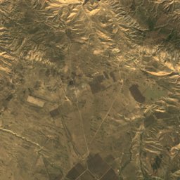
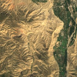
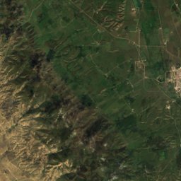
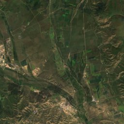
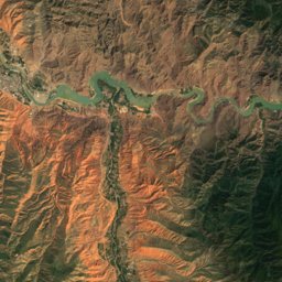
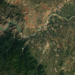
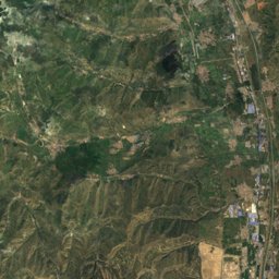
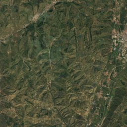
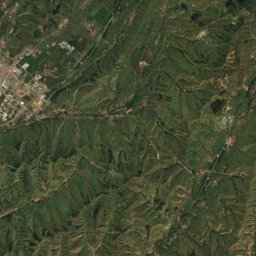
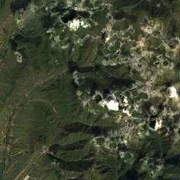
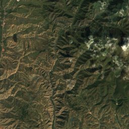
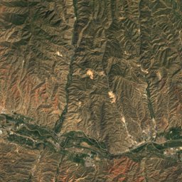
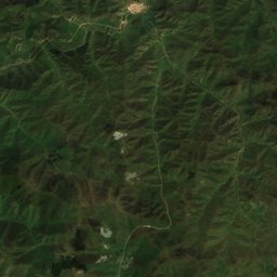
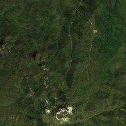
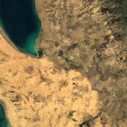
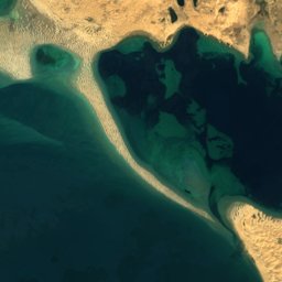
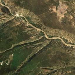
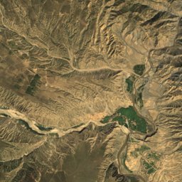
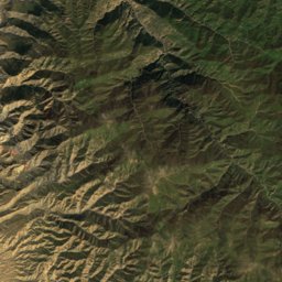
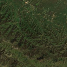
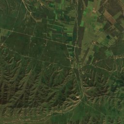
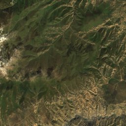
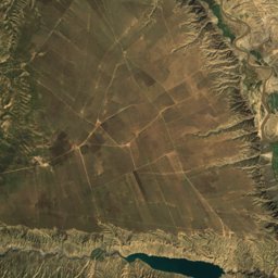
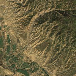
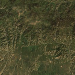
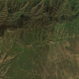
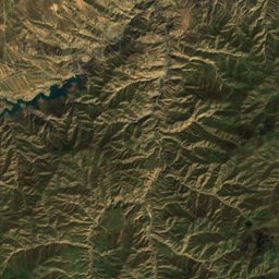
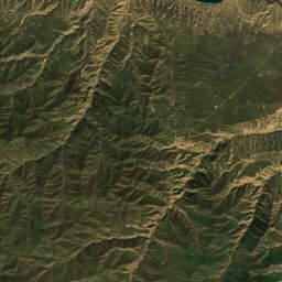
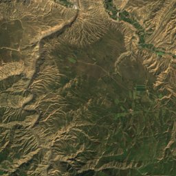
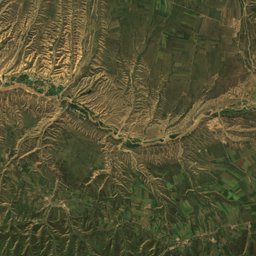
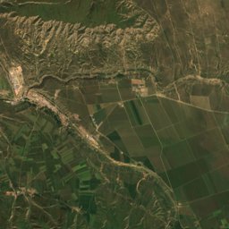
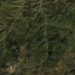
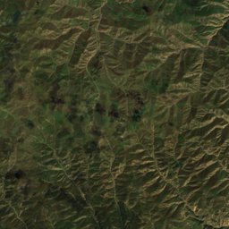
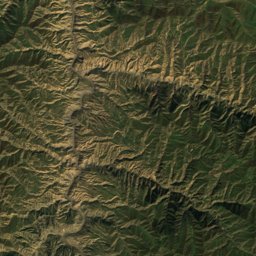
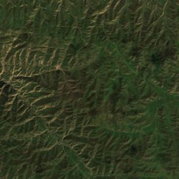
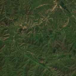
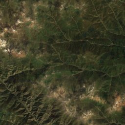
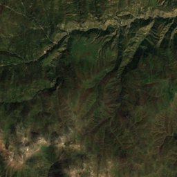
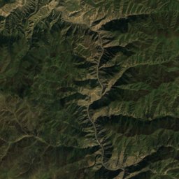
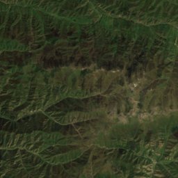
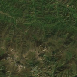
Qinghai from above
Every place scored for the month you pick: comfortable temperatures, dry days and clear skies.
OctoberMonth scores for Qinghai

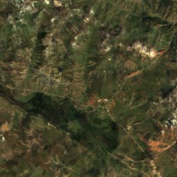
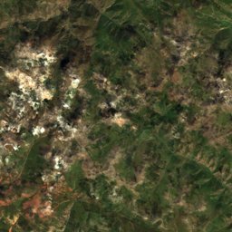
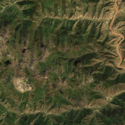
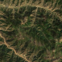
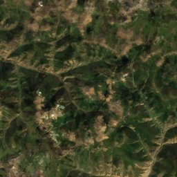
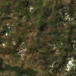
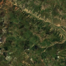
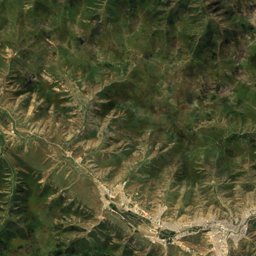
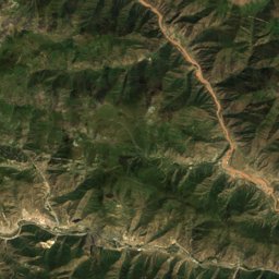
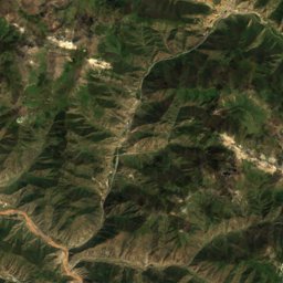
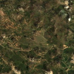
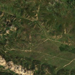
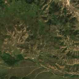
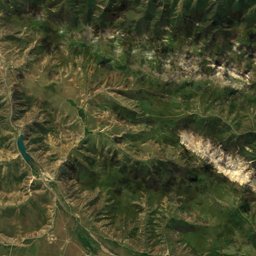
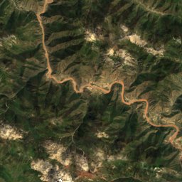
Satellite: Sentinel-2 cloudless 2016 by EOX IT Services GmbH · CC BY 4.0 · Contains modified Copernicus Sentinel data 2016

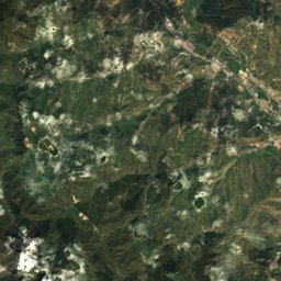
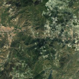
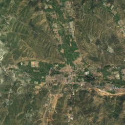
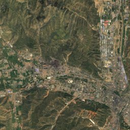
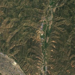
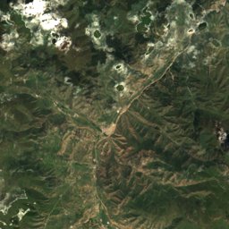
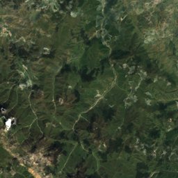
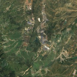
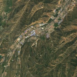
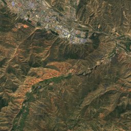
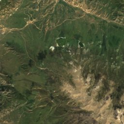
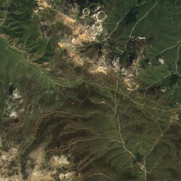
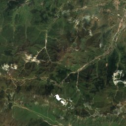
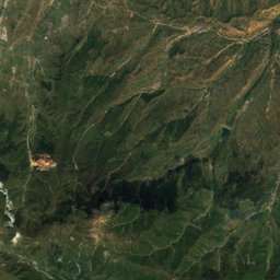
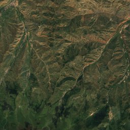
Satellite: Sentinel-2 cloudless 2016 by EOX IT Services GmbH · CC BY 4.0 · Contains modified Copernicus Sentinel data 2016
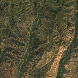
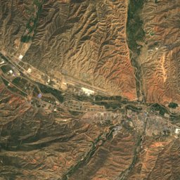
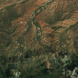
Satellite: Sentinel-2 cloudless 2016 by EOX IT Services GmbH · CC BY 4.0 · Contains modified Copernicus Sentinel data 2016
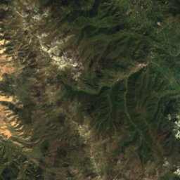
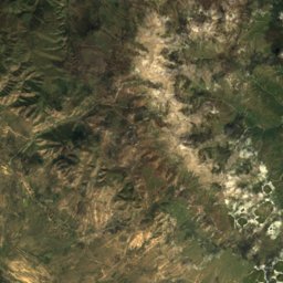
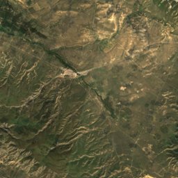
Satellite: Sentinel-2 cloudless 2016 by EOX IT Services GmbH · CC BY 4.0 · Contains modified Copernicus Sentinel data 2016

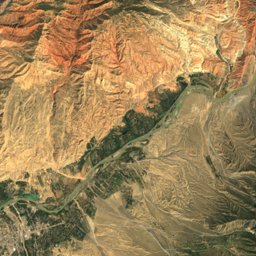
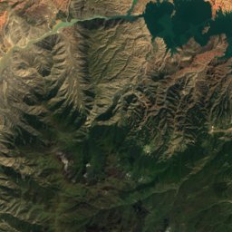
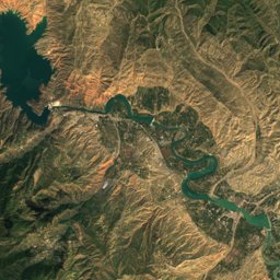
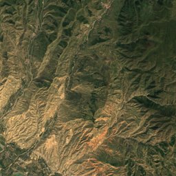
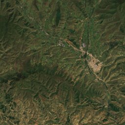
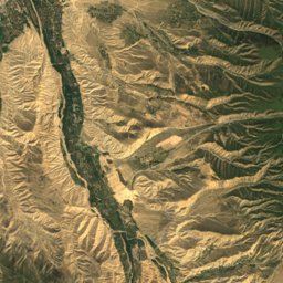
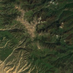
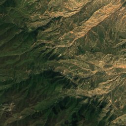
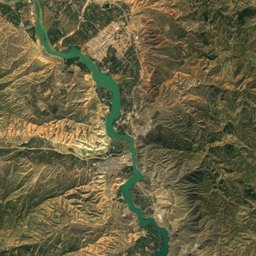
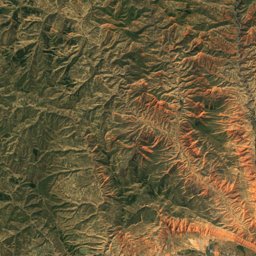
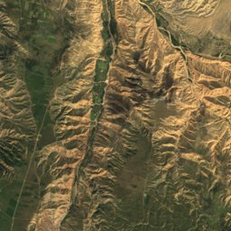
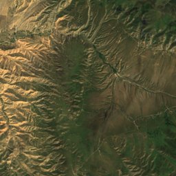
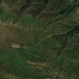
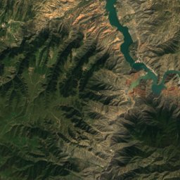
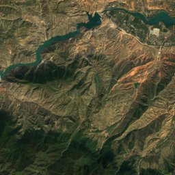
Satellite: Sentinel-2 cloudless 2016 by EOX IT Services GmbH · CC BY 4.0 · Contains modified Copernicus Sentinel data 2016
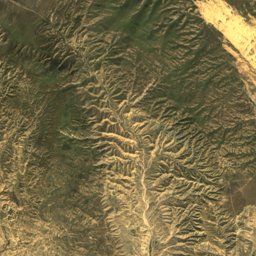
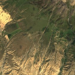
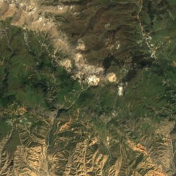
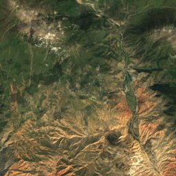
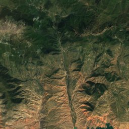
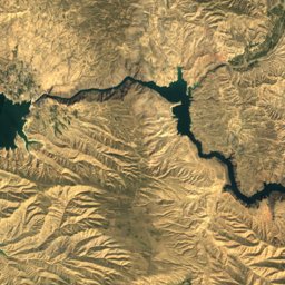
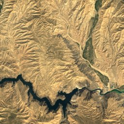
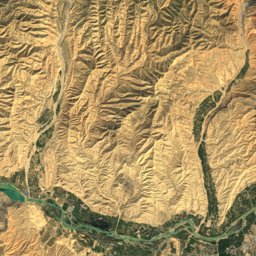
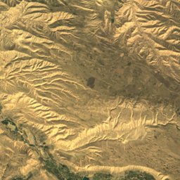
Satellite: Sentinel-2 cloudless 2016 by EOX IT Services GmbH · CC BY 4.0 · Contains modified Copernicus Sentinel data 2016

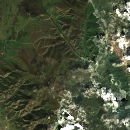
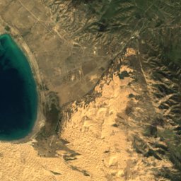
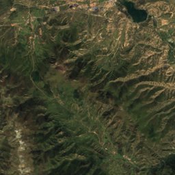
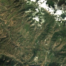
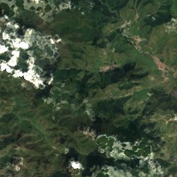
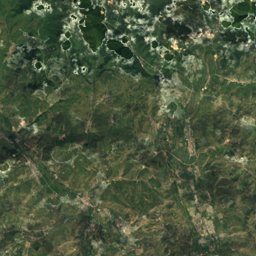
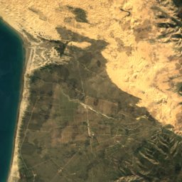
Satellite: Sentinel-2 cloudless 2016 by EOX IT Services GmbH · CC BY 4.0 · Contains modified Copernicus Sentinel data 2016
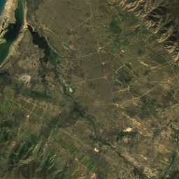
Satellite: Sentinel-2 cloudless 2016 by EOX IT Services GmbH · CC BY 4.0 · Contains modified Copernicus Sentinel data 2016
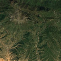
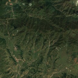
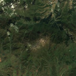
Satellite: Sentinel-2 cloudless 2016 by EOX IT Services GmbH · CC BY 4.0 · Contains modified Copernicus Sentinel data 2016
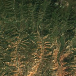
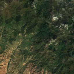
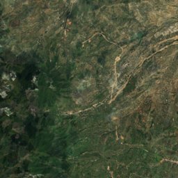
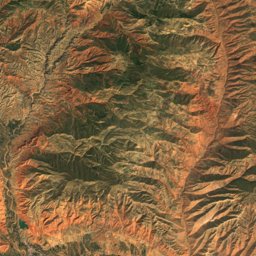
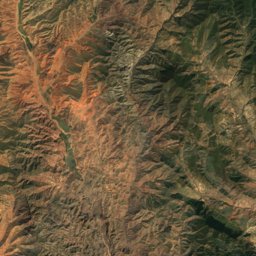
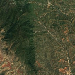
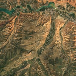
Satellite: Sentinel-2 cloudless 2016 by EOX IT Services GmbH · CC BY 4.0 · Contains modified Copernicus Sentinel data 2016
Satellite: Sentinel-2 cloudless 2016 by EOX IT Services GmbH · CC BY 4.0 · Contains modified Copernicus Sentinel data 2016
Satellite: Sentinel-2 cloudless 2016 by EOX IT Services GmbH · CC BY 4.0 · Contains modified Copernicus Sentinel data 2016
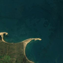

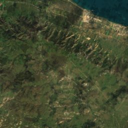
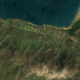
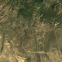
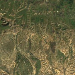
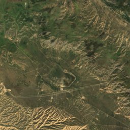
Satellite: Sentinel-2 cloudless 2016 by EOX IT Services GmbH · CC BY 4.0 · Contains modified Copernicus Sentinel data 2016
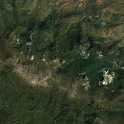
Satellite: Sentinel-2 cloudless 2016 by EOX IT Services GmbH · CC BY 4.0 · Contains modified Copernicus Sentinel data 2016
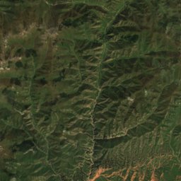
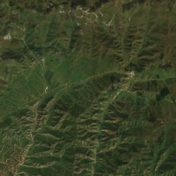
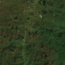
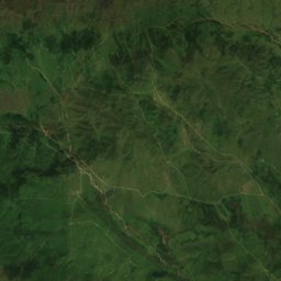
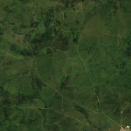
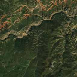
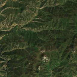
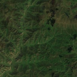
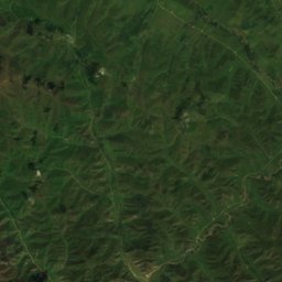
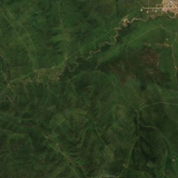
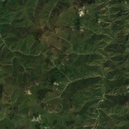
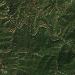
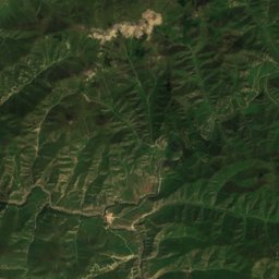
Satellite: Sentinel-2 cloudless 2016 by EOX IT Services GmbH · CC BY 4.0 · Contains modified Copernicus Sentinel data 2016
Satellite: Sentinel-2 cloudless 2016 by EOX IT Services GmbH · CC BY 4.0 · Contains modified Copernicus Sentinel data 2016
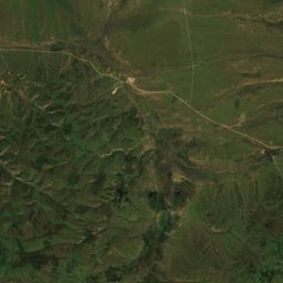
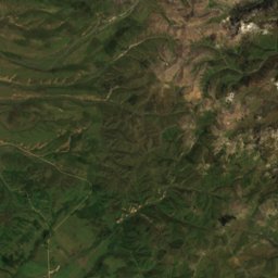
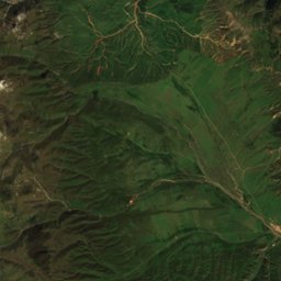
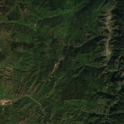
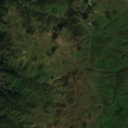
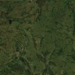
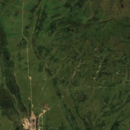
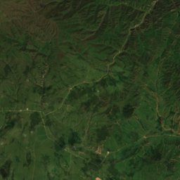
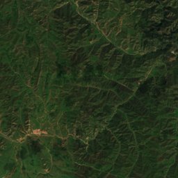
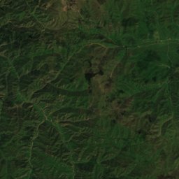
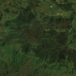
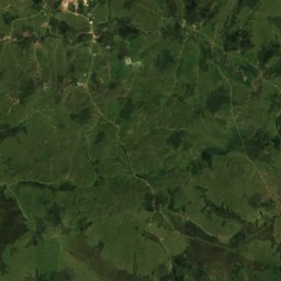
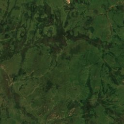
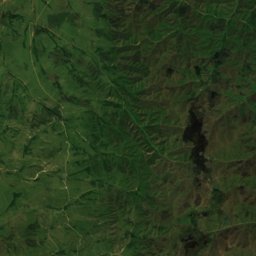
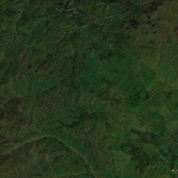
Satellite: Sentinel-2 cloudless 2016 by EOX IT Services GmbH · CC BY 4.0 · Contains modified Copernicus Sentinel data 2016
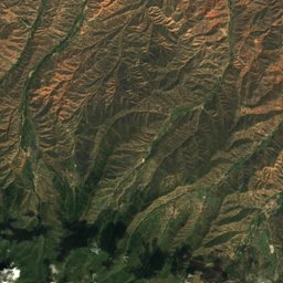
Satellite: Sentinel-2 cloudless 2016 by EOX IT Services GmbH · CC BY 4.0 · Contains modified Copernicus Sentinel data 2016

Nature in Qinghai

Wildlife in October
The birds and mammals of China seen most this month, compared with the rest of their year.


Outdoors in Qinghai
Culture in Qinghai


What's on in Qinghai
Getting to Qinghai
Xining Caojiabao International AirportXNN · Xining
28 kmLanzhou Zhongchuan International AirportLHW · Xining
167 kmGannan Xiahe AirportGXH · Xining
216 km小桥Xining
2.7 km乐都Haidong
1.5 km格尔木东Golmud
2.5 km德令哈Delingha
6.8 kmTowns in Qinghai from A to Z
The 48 main places; every village is listed on its district's page.
Other regions of China
Anhui33,360Beijing3,184Chongqing10,321Fujian30,630Gansu25,066Guangdong39,728Guangxi48,519Guizhou29,516Hainan6,602Hebei57,541Heilongjiang28,278Henan56,135Hubei26,481Hunan41,012Inner Mongolia6,270Jiangsu42,013Jiangxi34,655Jilin21,484Liaoning35,288Ningxia5,136Shaanxi30,225Shandong76,889Shanghai3,154Shanxi17,688Sichuan48,885Tianjin967Tibet17,202Xinjiang17,776Yunnan49,044Zhejiang46,553