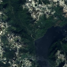
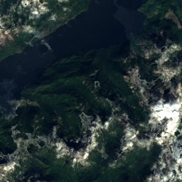
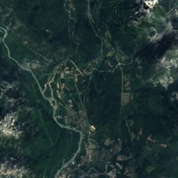

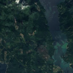
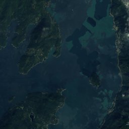
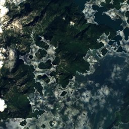
Satellite: Sentinel-2 cloudless 2016 by EOX IT Services GmbH · CC BY 4.0 · Contains modified Copernicus Sentinel data 2016
Outdoor activitiesSquamish
Outdoors near Squamish
within 15 km388places
Climbing321
Viewpoints42
49.70° N, 123.16° WElevation 5 mUTC−7 · Pacific Daylight Time
When to goSquamish · weather score
Best timeJul–Sep
October: high / low14° / 6°
Climbing
| Name | Nearby | Details |
|---|---|---|
| Gonzales Creek Heightscrag | 4.4 km | Website |
| Rope Runnerclimbing gym | 1.2 km | Website |
| Boys of Porteaucrag | 1.2 km | Website |
| Ferret's Follycrag | 1.3 km | Website |
| Fatty Bolgercrag | 1.3 km | Website |
| Jug Slabcrag | 1.3 km | Website |
| Woodpecker Polecrag | 1.6 km | Website |
| Poxy Cragcrag | 2.3 km | Website |
| Barge Rockcrag | 2.7 km | Website |
| Rideside Rockcrag | 2.7 km | Website |
| Tony’s Outcropcrag | 2.8 km | Website |
| Anchorman’s Rockcrag | 2.8 km | Website |
Viewpoints
| Name | Nearby | Details |
|---|---|---|
| Squamish Adventure Cenre | 1.1 km | Website |
| Upper Brittania Paragliding Launch Site | 6.9 km | 720 m |
| Nighthawk Lookout | 1.9 km | |
| Tony's Lookout | 2.8 km | |
| Chief Overlook Viewpoint | 3.1 km | |
| Gondola Paraglide Launch Site | 3.2 km | |
| Nch’ḵay̓ (Garibaldi Park) Viewpoint | 3.3 km | |
| Oleson Creek Falls Viewpoint | 3.3 km | |
| Poolviews | 3.4 km | |
| Summit Lodge Viewing Deck | 3.6 km | |
| Spirit Viewing Platform | 3.7 km | |
| Tube Park Viewing Deck | 3.7 km |
Viewpoints in British Columbia
Camp sites
| Name | Nearby | Details |
|---|---|---|
| Alice Lake Campground | 9.6 km | Website |
| Paradise Valley Campground | 14.5 km | Website |
| Klahanie Campgroundcaravans & motorhomes | 3 km | Website |
| MTN Fun Basecamp | 7.8 km | Website |
| Stawamus Chief Campground | 2.4 km | Website |
| Mamquam River Campground | 3.7 km | Website |
| Tantalus Landing Marine Sitebackcountry | 5.2 km | Website |
| Watts Pointbackcountry | 7.6 km | Website |
| Watts Point Southbackcountry | 8 km | Website |
| Cat Lake Recreation Sitebackcountry | 11.8 km | Website |
| Cat Lake Overflow campingbackcountry | 11.9 km | Website |
| Zorro Bay Marine Sitebackcountry | 13.1 km | Website |
Camp sites in British Columbia
Mountain huts
| Name | Nearby | Details |
|---|---|---|
| Tantalus Hutunstaffed shelter | 11.7 km | Website |
| 99 Trials Association Upper Cabinunstaffed shelter | 6.8 km | 870 m |
| 99 Trials Association Lower Cabinunstaffed shelter | 7 km | 467 m |
| Henriette Lake Cabinunstaffed shelter | 11.9 km | |
| Mountain Lake Hutstaffed | 10.8 km | |
| Alpen Cabin (Hidden Valley Cabin)unstaffed shelter | 11.7 km |
Mountain huts in British Columbia
Golf courses
| Name | Nearby | Details |
|---|---|---|
| Squamish Valley Golf Club | 4.3 km | Website |
| Furry Creek Golf and Country Club | 13.7 km |
Diving
- Porteau Cove Diving Area16.5 km
Places come from an open map made by volunteers: well-known sites are there, small or new ones may be missing. Opening times and prices change, so check before you go.