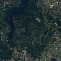
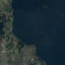
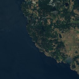

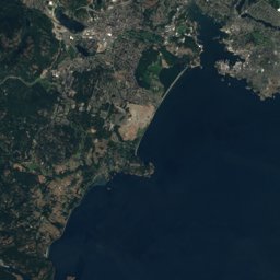
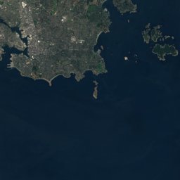





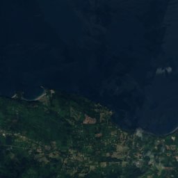
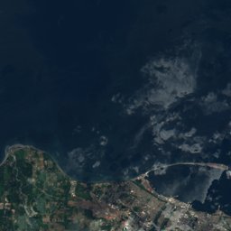
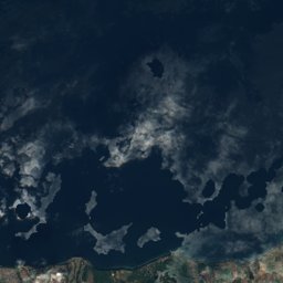
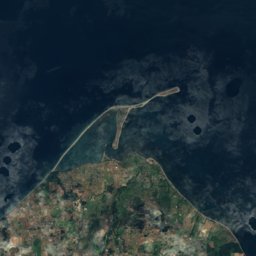
Satellite: Sentinel-2 cloudless 2016 by EOX IT Services GmbH · CC BY 4.0 · Contains modified Copernicus Sentinel data 2016
Outdoor activitiesSooke
Outdoors near Sooke
within 15 km35places
Viewpoints14
Climbing14
48.37° N, 123.73° WElevation 39 mUTC−7 · Pacific Daylight Time
When to goSooke · weather score
Best timeJul–Sep
October: high / low14° / 7°
Viewpoints
| Name | Nearby | Details |
|---|---|---|
| Thunderbird Mountain | 8.9 km | 550 m |
| George's Gorgeous Bluff | 9.9 km | 550 m |
| Bultaco View Point | 4 km | |
| Sid’s Overlook | 4.4 km | |
| Potholes Viewpoint | 7 km | |
| Cabin Point | 7.1 km | |
| Windy Point | 8 km | |
| Beechey Head | 8.7 km | |
| Bread Oven Trail | 8.8 km | |
| Gold Panning Site | 8.9 km | |
| Creyke Point | 9 km | |
| Linda's Lookout | 10.2 km |
Viewpoints in British Columbia
Climbing
| Name | Nearby | Details |
|---|---|---|
| The Cinemacrag | 13.9 km | 78 m |
| Secret Wallcrag | 14 km | 30 m |
| Salamander Wallcrag | 14 km | 59 m |
| Zombie Wallcrag | 14.1 km | 49 m |
| Mount McDonald Main Wallcrag | 14.1 km | 91 m |
| Above the School Yardcrag | 14.2 km | 43 m |
| School Yardcrag | 14.2 km | 32 m |
| Steep Southcrag | 14.2 km | 20 m |
| Cosmic Lightscrag | 14.2 km | 29 m |
| The Snoozecrag | 14.2 km | 14 m |
| Toilet Wallcrag | 14.3 km | 20 m |
| Prisoner Wallcrag | 14.3 km | 14 m |
Camp sites
Camp sites in British Columbia
Golf courses
| Name | Nearby | Details |
|---|---|---|
| Metchosin Golf Course & Country Club | 14.7 km | |
| DeMamiel Creek Golf Course | 1.8 km |
Diving
- South Bedford Island11.5 km
- Swordfish Island12.9 km
- Barnard Castle15.4 km
- Race Rocks - West and Central16.2 km
Places come from an open map made by volunteers: well-known sites are there, small or new ones may be missing. Opening times and prices change, so check before you go.