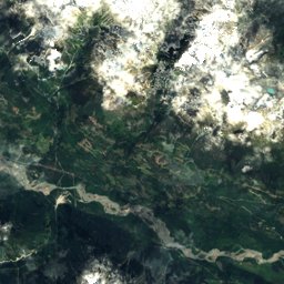
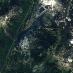
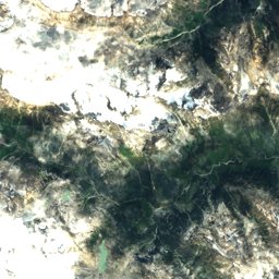
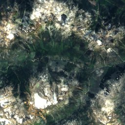
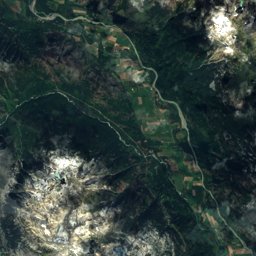
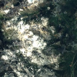
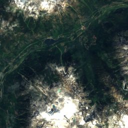
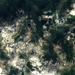
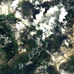
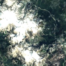
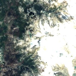
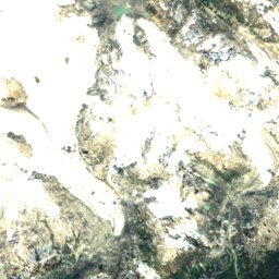
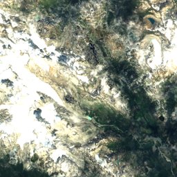
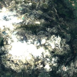
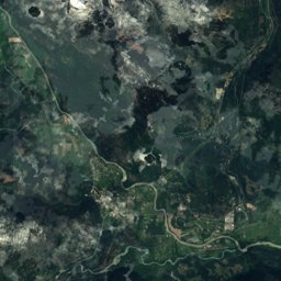
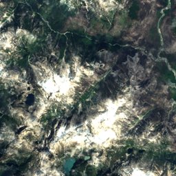
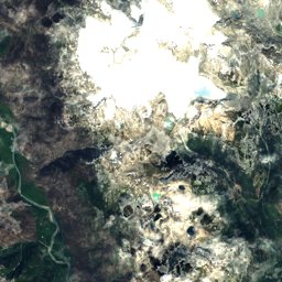
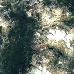
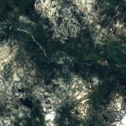
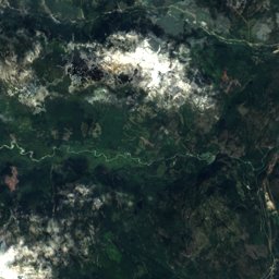
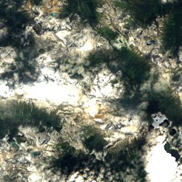
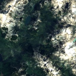
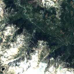
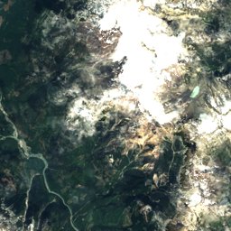
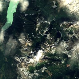
Satellite: Sentinel-2 cloudless 2016 by EOX IT Services GmbH · CC BY 4.0 · Contains modified Copernicus Sentinel data 2016
Outdoor activitiesPemberton, Canada
Outdoors near Pemberton
within 15 km39places
Climbing18
Viewpoints7
50.32° N, 122.80° WElevation 211 mUTC−7 · Pacific Daylight Time
When to goPemberton · weather score
Best timeJul–Sep
October: high / low13° / 5°
Climbing
| Name | Nearby | Details |
|---|---|---|
| Family Cragcrag | 4.9 km | Website |
| Underworld Wallcrag | 3 km | 134 m · Website |
| Green Wallcrag | 4.8 km | Website |
| The Beachcrag | 4.8 km | Website |
| Multinational Wallcrag | 4.9 km | Website |
| Dad Bod Wallcrag | 4.9 km | Website |
| Night and Day Wallcrag | 5 km | Website |
| South Beachcrag | 5.4 km | Website |
| The Big Treecrag | 5.5 km | Website |
| The Braziliancrag | 5.5 km | Website |
| Smiling Giantcrag | 5.6 km | Website |
| Moss and Choss Wallcrag | 11 km | Website |
Viewpoints
| Name | Nearby | Details |
|---|---|---|
| Rutherford Launch Site | 6.7 km | 1,025 m |
| Raven Rock | 4.5 km | |
| Viewpoint Mount Currie | 0.4 km | |
| Mt. McKenzie Lower Launch | 4 km | |
| Mt. McKenzie Upper Launch | 5.6 km | |
| Pemberton Valley Lookout | 5.9 km | |
| Birkenhead Lookout | 12.8 km |
Viewpoints in British Columbia
Camp sites
Camp sites in British Columbia
Mountain huts
| Name | Nearby | Details |
|---|---|---|
| Owl Lake Cabinunstaffed shelter | 12.5 km | |
| Goat Meadows Hutunstaffed shelter | 12.8 km | |
| Sootip Cabinunstaffed shelter | 13.3 km |
Mountain huts in British Columbia
Golf courses
Zoos
| Name | Nearby | Details |
|---|---|---|
| Adventures on Horseback | 1.1 km | |
| North Arm Farm "Petting Zoo" | 4.9 km |
Water parks
| Name | Nearby | Details |
|---|---|---|
| Kids Water Park | 0.4 km |
Places come from an open map made by volunteers: well-known sites are there, small or new ones may be missing. Opening times and prices change, so check before you go.