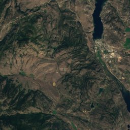
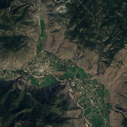
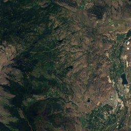
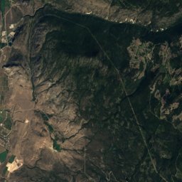
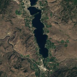
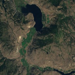
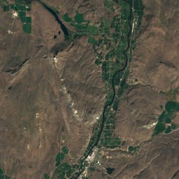
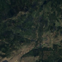
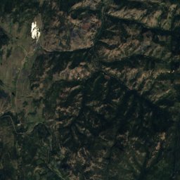
Satellite: Sentinel-2 cloudless 2016 by EOX IT Services GmbH · CC BY 4.0 · Contains modified Copernicus Sentinel data 2016
Outdoor activitiesOsoyoos
Outdoors near Osoyoos
within 15 km17places
Camp sites10
Viewpoints4
49.03° N, 119.47° WElevation 304 mUTC−7 · Pacific Daylight Time
When to goOsoyoos · weather score
Best timeApr–May · Sep
October: high / low16° / 4°
Camp sites
| Name | Nearby | Details |
|---|---|---|
| sẃiẃs (Haynes Point) Provincial Campground | 2.3 km | Website |
| Stateside 97 RV Parkcaravans & motorhomes | 9.4 km | Website |
| Nk’Mip Campground and RV Park | 2.1 km | |
| Osoyoos Lake Veteran's Memorial Park Campground | 9.6 km | |
| Oro Beach RV Resortcaravans & motorhomes | 7.4 km | |
| Island View RV Resortcaravans & motorhomes | 2.7 km | |
| Walton's Lakefront Resortcaravans & motorhomes | 3.1 km | |
| Cabana Beach Campground & RV Parkcaravans & motorhomes | 3.3 km | |
| Brookvale Holiday Resortcaravans & motorhomes | 3.9 km | |
| River Oaks RV Resortcaravans & motorhomes | 10.7 km |
Camp sites in British Columbia
Viewpoints
| Name | Nearby | Details |
|---|---|---|
| Spotted Lake | 8.6 km | |
| View Platform | 1.4 km | |
| Chief's Lookout | 3 km | |
| Anarchist Mountain Lookout | 5.1 km |
Viewpoints in British Columbia
Golf courses
| Name | Nearby | Details |
|---|---|---|
| Sonora Dunes Golf Course | 2.9 km | Website |
| Oroville Golf Club | 8.7 km |
Theme parks
| Name | Nearby | Details |
|---|---|---|
| Rattlesnake Canyon Amusement Park | 1.9 km | Website |
Ski areas
Places come from an open map made by volunteers: well-known sites are there, small or new ones may be missing. Opening times and prices change, so check before you go.