
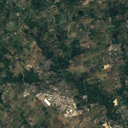
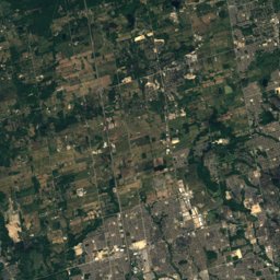
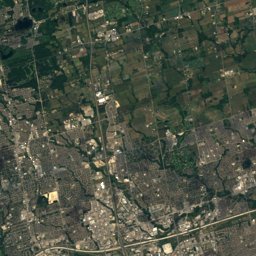
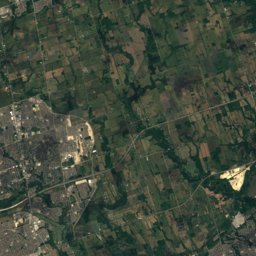
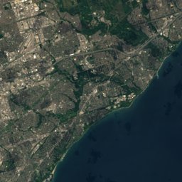
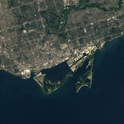
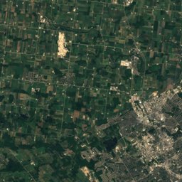
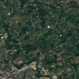
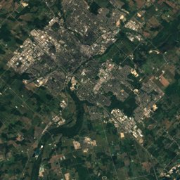
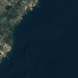


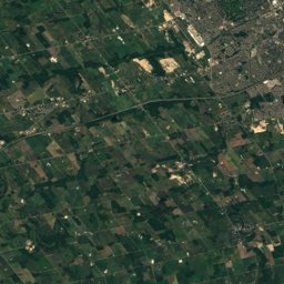
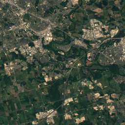
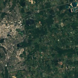




Satellite: Sentinel-2 cloudless 2016 by EOX IT Services GmbH · CC BY 4.0 · Contains modified Copernicus Sentinel data 2016
Outdoor activitiesMilton
Outdoors near Milton
within 15 km45places
Golf courses21
Camp sites11
43.52° N, 79.88° WElevation 195 mUTC−4 · Eastern Daylight Time
When to goMilton · weather score
Best timeMay–Jun · Sep
October: high / low15° / 5°
Golf courses
| Name | Nearby | Details |
|---|---|---|
| Greystone Golf Club | 6.5 km | Website |
| Glencairn Golf Club | 6.8 km | Website |
| Piper's Heath Golf Club | 9.4 km | Website |
| Crosswinds Golf & Country Club | 8.2 km | Website |
| Royal Ontario Golf Club | 7.4 km | Website |
| Wyldewood Golf & Country Club | 7.6 km | Website |
| Lowville Golf Club | 10.6 km | Website |
| Rattle Snake Point Golf & County Club | 7.3 km | |
| Tee Zone Driving Range | 10 km | Website |
| Vic Hadfield Golf & Learning Centre | 12 km | Website |
| Ninth Line Family Golf | 10.3 km | Website |
| Granite Ridge Golf Club | 5.4 km |
Camp sites
| Name | Nearby | Details |
|---|---|---|
| Sidrabene | 9.7 km | Website |
| Mount Nemo Scout Camp | 10.8 km | Website |
| Lawson Park Family Camping Resortcaravans & motorhomes | 14.6 km | Website |
| Milton Heights Campground | 4.6 km | Website |
| Bronte Creek Provincial Park - Ravine Campground | 14.2 km | Website |
| Bronte Creek Provincial Park - Savannah Campground | 14.3 km | Website |
| Bronte Creek Provincial Park - Woodland Campground | 14.4 km | Website |
| CAMPULUI ROMANESC | 14.2 km | Website |
| Bronte Creek Provincial Park - Prairie Campground | 14.3 km | Website |
| Camp Manitou Scout Camp | 9.7 km | Website |
| Bronte Creek Campground access point | 14.6 km |
Viewpoints
| Name | Nearby | Details |
|---|---|---|
| Pinnacle Lookout | 5.9 km | |
| Dufferin Aggregates Reclamation Area | 6 km | |
| Nassagaweya Canyon Lookout | 6.1 km | |
| Buffalo Crag Lookout | 6.2 km | |
| Windows XP's Autumn wallpaper | 10.7 km | |
| Avalon Parkette Lookout | 14.4 km |
Climbing
| Name | Nearby | Details |
|---|---|---|
| Kelsocrag | 4.6 km | |
| Rattlesnake Point (East Cliff)crag | 5.9 km | |
| Rattlesnake Point (West Cliff)crag | 6 km | |
| Rattlesnake Point (Bottleglass Crag)crag | 6.1 km | |
| Rattlesnake Point (Buffalo Crag)crag | 6.1 km | |
| Mt. Nemocrag | 10.1 km | 1,891 m |
Theme parks
| Name | Nearby | Details |
|---|---|---|
| Chudleigh's Farm | 5.6 km | Website |
Ski areas
Diving
- Dirty Adventures Scuba15.3 km
- Oakville Divers18.9 km
Places come from an open map made by volunteers: well-known sites are there, small or new ones may be missing. Opening times and prices change, so check before you go.