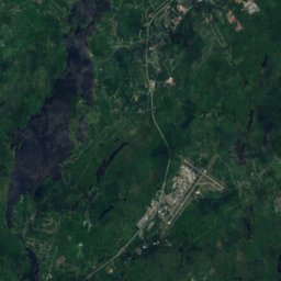
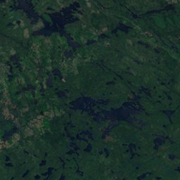
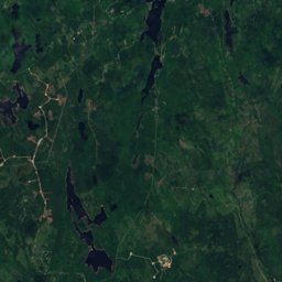
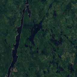
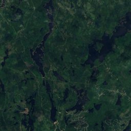
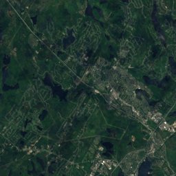
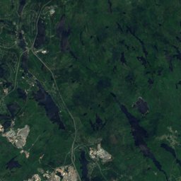
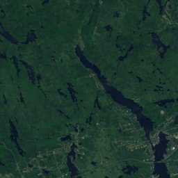
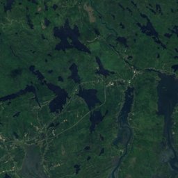
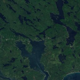
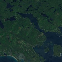
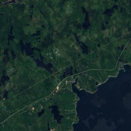
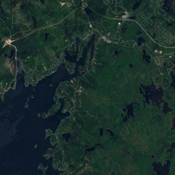
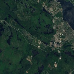
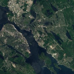
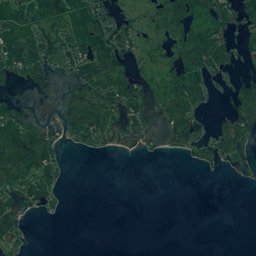
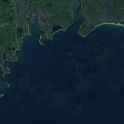
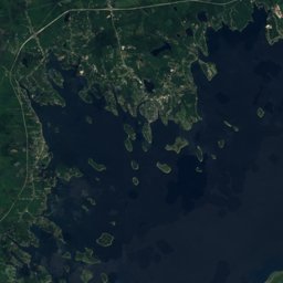
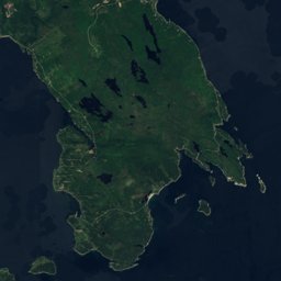
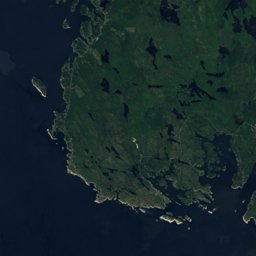
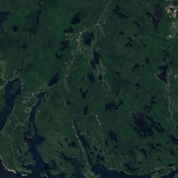
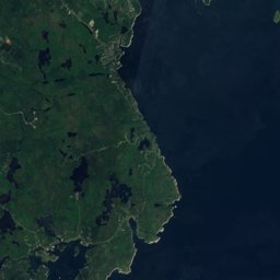




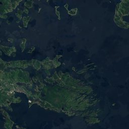





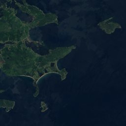








Satellite: Sentinel-2 cloudless 2016 by EOX IT Services GmbH · CC BY 4.0 · Contains modified Copernicus Sentinel data 2016
Outdoor activitiesDevils Island
Outdoors near Devils Island
within 15 km35places
Climbing21
Viewpoints6
44.58° N, 63.46° WElevation 5 mUTC−3 · Atlantic Daylight Time
When to goDevils Island · weather score
Best timeJul–Sep
October: high / low13° / 9°
Climbing
| Name | Nearby | Details |
|---|---|---|
| Seven Bays Boulderingcrag | 12.4 km | Website |
| Trailside Bouldercrag | 11.1 km | |
| Snack Wallcrag | 11.1 km | 8 m |
| Lunchbox Bouldercrag | 11.1 km | |
| East Peak Indoor Climbingclimbing gym | 13.2 km | Website |
| Twin Sisterscrag | 9.7 km | |
| Heart Break Bouldercrag | 7.2 km | |
| CFB Fearwatercrag | 7.6 km | 29 m |
| Flagpole Bouldercrag | 7.7 km | |
| Creag na coillecrag | 7.8 km | 26 m |
| Crysaliscrag | 8.1 km | |
| Fynnished Areacrag | 9.4 km |
Viewpoints
| Name | Nearby | Details |
|---|---|---|
| Fort Ives Platform | 7.9 km | |
| Dingle Tower | 12.2 km | |
| St.Mary's Boat Club Upper Deck | 13.1 km | |
| Sinnot Hill Park Look Off | 13.2 km | |
| Fairbanks Street Look off | 13.3 km | |
| Shore Road Look-off | 13.5 km |
Golf courses
| Name | Nearby | Details |
|---|---|---|
| Links at Montague | 14.6 km | Website |
| Hartlen Point Forces Golf Club | 2.2 km | |
| Grandview Golf and Country Club | 14.8 km | |
| Brightwood Golf and Country Club | 13.9 km | |
| Montague Golf Course | 14.1 km | |
| Lake Loon Driving Range | 13.1 km |
Camp sites
| Name | Nearby | Details |
|---|---|---|
| Bayside Camp and Retreat Centre | 13.1 km | Website |
Hot springs & thermal baths
| Name | Nearby | Details |
|---|---|---|
| Spirit Spanatural spring | 14.2 km |
Places come from an open map made by volunteers: well-known sites are there, small or new ones may be missing. Opening times and prices change, so check before you go.