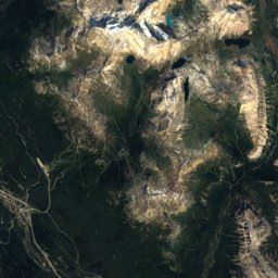
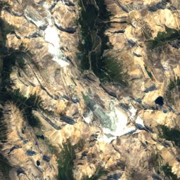
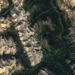
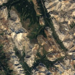
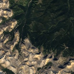
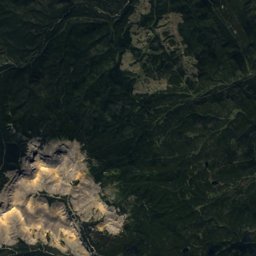
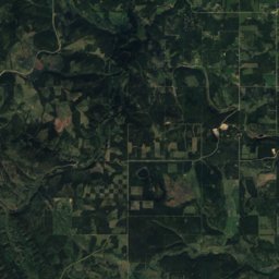
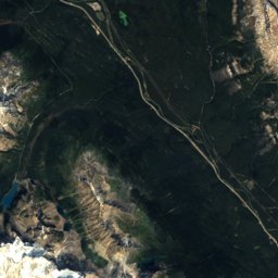
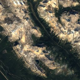
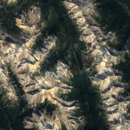
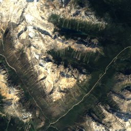
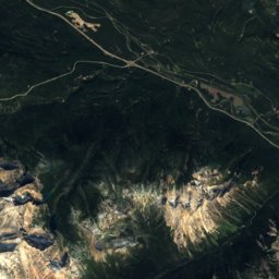
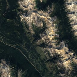
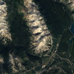
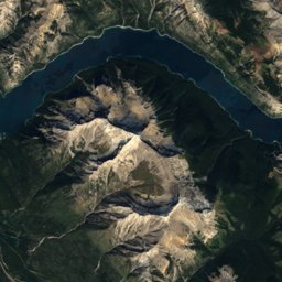
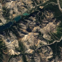
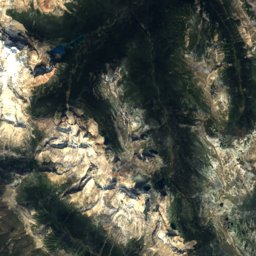
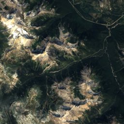
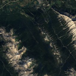
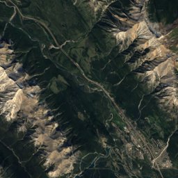
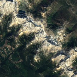
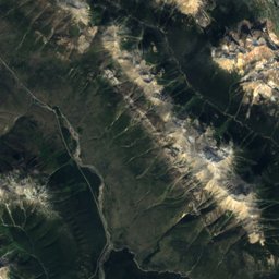
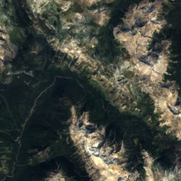
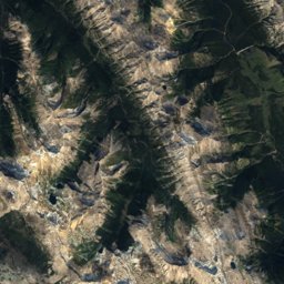
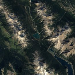
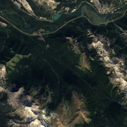
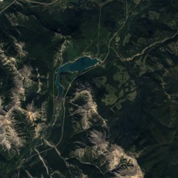
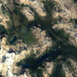
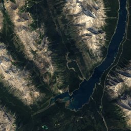
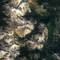
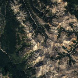
Satellite: Sentinel-2 cloudless 2016 by EOX IT Services GmbH · CC BY 4.0 · Contains modified Copernicus Sentinel data 2016
Outdoor activitiesCanmore
Outdoors near Canmore
within 15 km29places
Viewpoints13
Camp sites8
51.08° N, 115.35° WElevation 1,375 mUTC−6 · Mountain Daylight Time
When to goCanmore · weather score
Best timeJul–Sep
October: high / low10° / -1°
Viewpoints
| Name | Nearby | Details |
|---|---|---|
| Grassi Knob | 3.9 km | 2,174 m |
| Pathway to Bow River | 1.1 km | |
| Canmore Engine Bridge | 1.5 km | |
| Spur Line Trail | 1.6 km | |
| Quarry Lake | 1.7 km | |
| Pathway To Quarry Lake | 1.9 km | |
| Highline Trail | 1.9 km | |
| Powerline Trail | 2 km | |
| Rundle Forebay | 2.2 km | |
| Little Grassi Knob Viewpoint | 3.4 km | |
| Mine Meadow | 4.8 km | |
| Three Sisters Pass | 6.8 km |
Camp sites
| Name | Nearby | Details |
|---|---|---|
| Bow River Campground | 3.4 km | Website |
| Lac Des Arcs Campground | 13.5 km | Website |
| Three Sisters Campground | 7.6 km | Website |
| Spray Lakes West Campground | 12.5 km | Website |
| Spray Lakes West Campground | 10.3 km | Website |
| Sp6 - Mount Rundlebackcountry | 13.3 km | Website |
| Exshaw Community Campground | 14.6 km | Website |
| Wapiti Campgroundcaravans & motorhomes | 2.6 km |
Golf courses
| Name | Nearby | Details |
|---|---|---|
| Stewart Creek Golf & Country Club | 4.9 km | Website |
| Three Sisters Creek Golf Course | 2.9 km | |
| Silvertip | 2 km | |
| Canmore Golf Club | 2.9 km | |
| CanGOLF | 0.7 km |
Climbing
| Name | Nearby | Details |
|---|---|---|
| Yamnuska Mountain Adventuresclimbing gym | 0.9 km | |
| Meathooks wallcrag | 4 km |
Mountain huts
| Name | Nearby | Details |
|---|---|---|
| Canmore Nordic Centre Day Lodgestaffed | 2.5 km |
Places come from an open map made by volunteers: well-known sites are there, small or new ones may be missing. Opening times and prices change, so check before you go.