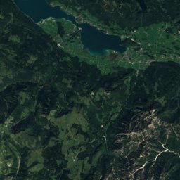
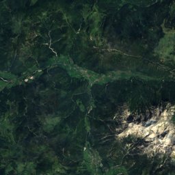
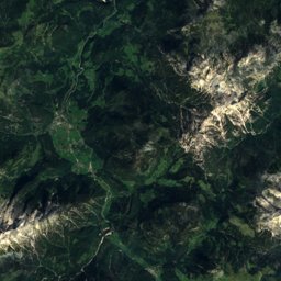
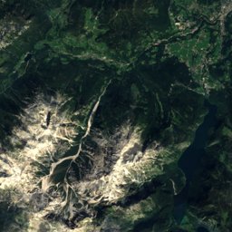
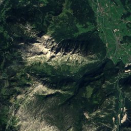
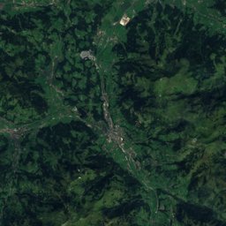
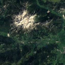
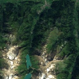
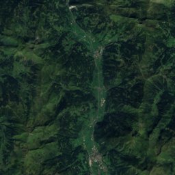
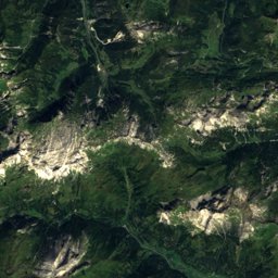
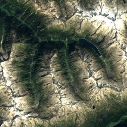
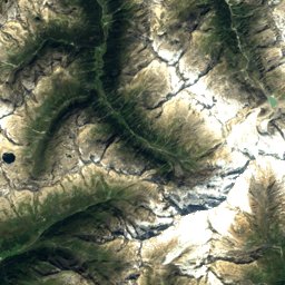
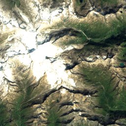
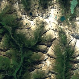
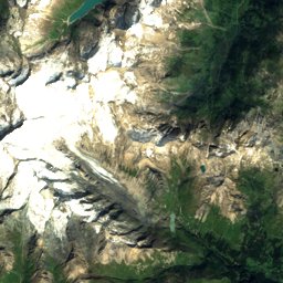
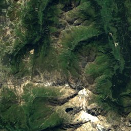
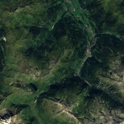
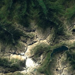
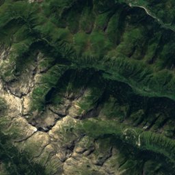
Satellite: Sentinel-2 cloudless 2016 by EOX IT Services GmbH · CC BY 4.0 · Contains modified Copernicus Sentinel data 2016
Outdoor activitiesThumersbach
Outdoors near Thumersbach
within 15 km70places
Mountain huts39
Camp sites13
47.33° N, 12.82° EElevation 769 mUTC+1 · Central European Standard Time
When to goThumersbach · weather score
Best timeJun–Aug
October: high / low14° / 4°
Mountain huts
| Name | Nearby | Details |
|---|---|---|
| Pinzgauer Hüttestaffed | 7.4 km | 1,704 m · Website |
| Gleiwitzer Hüttestaffed | 12.9 km | 2,176 m · Website |
| Salzburger Hüttestaffed | 14.5 km | 1,860 m · Website |
| AsitzBräustaffed | 11.8 km | 1,756 m · Website |
| Areitalmstaffed | 4.5 km | 1,400 m · Website |
| Berggasthof Bibergstaffed | 10.4 km | 1,443 m · Website |
| Neue Bubenreuther Hüttestaffed | 11.2 km | 950 m · Website |
| Statzerhausstaffed | 7.2 km | 2,117 m |
| Hochkaseralmstaffed | 11.3 km | 1,680 m |
| Heubergalmstaffed | 9.2 km | 1,665 m |
| Schützingalmstaffed | 4.4 km | 1,655 m |
| Moosalmstaffed | 5.5 km | 1,531 m |
Camp sites
| Name | Nearby | Details |
|---|---|---|
| Sportcamp Woferlgut | 5.2 km | ★★★★ · Website |
| Campingplatz Bad Neunbrunnen | 5.6 km | Website |
| Panorama Camp | 3.1 km | Website |
| Seecamp | 1.2 km | Website |
| Camping zur Mühle | 8.9 km | Website |
| Oberhasenberghof | 10.2 km | Website |
| Lampenhäusl Camping | 11.8 km | Website |
| Campingplatz Glemmerhof | 5.7 km | Website |
| Camperplatzlcaravans & motorhomes | 12.5 km | Website |
| Fritzhof Almdorf Stellplatzcaravans & motorhomes | 9.8 km | Website |
| Obergründbichlgutcaravans & motorhomes | 13.4 km | Website |
| Theurerhofcaravans & motorhomes | 10.7 km | Website |
Viewpoints
| Name | Nearby | Details |
|---|---|---|
| Marbachhöhe | 11.6 km | 1,814 m |
| Panorama-Plattform "Kaiserblick" | 5.9 km | |
| Ort | 8.9 km | |
| Ausblick auf Hochkönig | 8.9 km | |
| Bergpanorama | 10 km | |
| Panorama Maiskogel | 11 km | |
| Fuscher Dorfblick | 11.2 km | |
| Dechantsbühel Informal signs about historical value | 12 km | |
| Hochreitshöhe | 12.1 km | |
| Brimbachkögerl | 12.8 km | |
| Turnstile | 14.1 km |
Climbing
| Name | Nearby | Details |
|---|---|---|
| Falkensteinwamdcrag | 6.4 km | 189 m · Website |
| Kletterhalleclimbing gym | 11.3 km | |
| Kitzlochklamm Klettersteig Klammflohvia ferrata | 12.8 km | 2+ · 55 m |
| Kitzlochklamm Klettersteigvia ferrata | 13 km | 3+ · 71 m |
Golf courses
Hot springs & thermal baths
| Name | Nearby | Details |
|---|---|---|
| Tauern Spa Kaprunthermal baths | 6.8 km | Website |
Places come from an open map made by volunteers: well-known sites are there, small or new ones may be missing. Opening times and prices change, so check before you go.