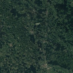
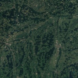
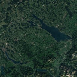
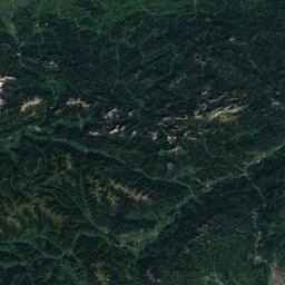
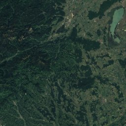
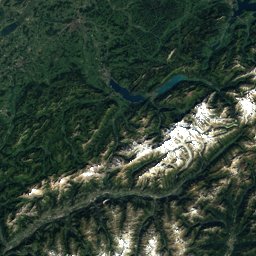
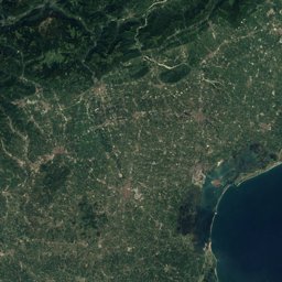
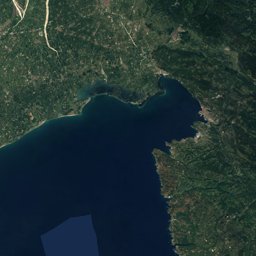
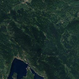
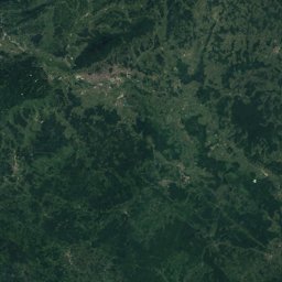
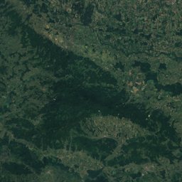
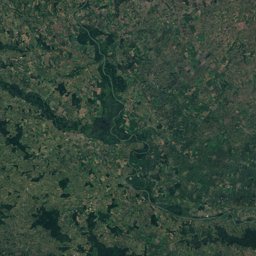
Satellite: Sentinel-2 cloudless 2016 by EOX IT Services GmbH · CC BY 4.0 · Contains modified Copernicus Sentinel data 2016
EarthquakesHinterstoder
Earthquakes near Hinterstoder
M5+ · Since 19503≤ 150 km
Last 30 days2≤ 300 km
StrongestM5.11972
47.70° N, 14.15° EElevation 597 mUTC+2 · Central European Summer Time
When to goHinterstoder · weather score
Best timeJul–Sep
October: high / low14° / 4°
Since 1950, 3 earthquakes of magnitude 5 or more have struck within 150 km of Hinterstoder; the strongest was M5.1, 16 April 1972. In the last 30 days 2 earthquakes were recorded within 300 km. 59 significant earthquakes on record hit the area.
Last 30 days · ≤ 300 km
| Magnitude | km | Depth | When |
|---|---|---|---|
| 3.1 | 213 ← | 10 km | 14 days ago · 9 October 2026 06:46 |
| 3.5 | 200 ← | 10 km | 27 days ago · 26 September 2026 09:56 |
M5+ · Since 1950 · ≤ 150 km
| 5.1 | 144 km | 16 April 1972 |
| 5.1 | 148 km | 1 July 2001 |
| 5.0 | 90 km | 19 March 1958 |
Significant earthquakes on record · ≤ 300 km
| 2024 | 126 km | M4 | |
| 2020 | 300 km | M6.4 | 8 deaths |
| 2020 | 243 km | M5.3 | 1 deaths |
| 2004 | 161 km | M5.2 | 1 deaths |
| 1998 | 166 km | M5.7 | 1 deaths |
| 1977 | 157 km | M4.6 | |
| 1976 | 175 km | M5.5 | 5 deaths |
| 1976 | 172 km | M6 | 11 deaths |
| 1976 | 172 km | M5.9 | |
| 1976 | 164 km | M6.5 | 978 deaths |
| 1963 | 184 km | M4.9 | |
| 1956 | 245 km | M4.5 | |
| 1931 | 200 km | – | |
| 1928 | 169 km | M5.8 | |
| 1927 | 277 km | – | |
| 1927 | 211 km | – | |
| 1925 | 232 km | – | |
| 1922 | 299 km | – | |
| 1917 | 228 km | M5.6 | |
| 1916 | 159 km | M4.9 | |
| 1895 | 180 km | M6.1 | 7 deaths |
| 1882 | 189 km | M4.8 | |
| 1880 | 249 km | – | |
| 1878 | 261 km | – | |
| 1873 | 213 km | – | 55 deaths |
| 1861 | 250 km | – | 1 deaths |
| 1856 | 196 km | – | |
| 1845 | 180 km | M4.9 | |
| 1840 | 172 km | M4.9 | |
| 1838 | 279 km | M5.3 | Tsunami |
| 1775 | 231 km | – | |
| 1750 | 238 km | – | Tsunami |
| 1738 | 219 km | M5.1 | |
| 1721 | 267 km | – | |
| 1699 | 249 km | M5 | |
| 1695 | 296 km | M6.2 | |
| 1690 | 125 km | – | 20 deaths |
| 1689 | 244 km | – | 19 deaths |
| 1670 | 214 km | – | |
| 1640 | 225 km | – |